In creating the FTS500, I wanted to fill a spot for a “mid-length” bikepacking race. There are a few 500ish mile rides out there, but creating a route from Prescott meant I wouldn’t have to arrange any transportation. I wanted to build a route that would be challenging. I had to make something that would push the limits of my comfort zone. Almost all of the track was compiled from my previous rides, with the exception of the Alamo Lake section. Satellite imagery, online videos, and maps said there should be a route. I was looking for a little route finding experience, as I will for sure encounter it at some point. Another area near Sedona was also new to me, but all looked to be in place from my research. After speaking with the only other person interested in joining me, and learning he was out, I decided I would just deal with the Alamo Lake section as it came up. The timing of the trip was also important. I wanted it to be a ‘free for all’ with some wintery conditions, to prepare for the high passes in Colorado, in June, when anything can happen. Late February made the perfect time for such weather above 5000′, and it was still cool enough to ride at lower elevations.
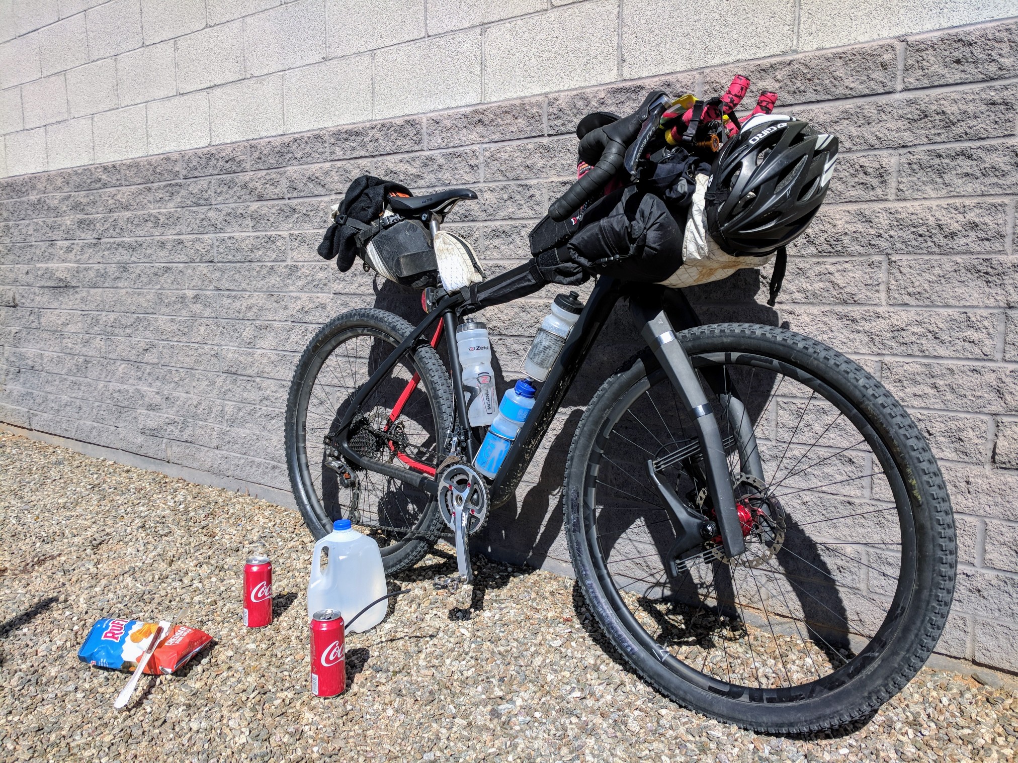
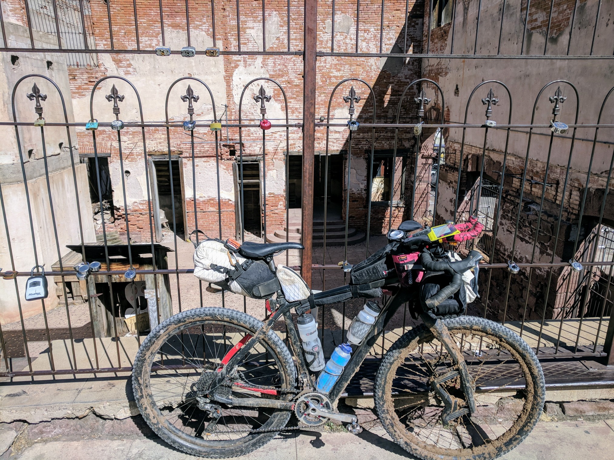
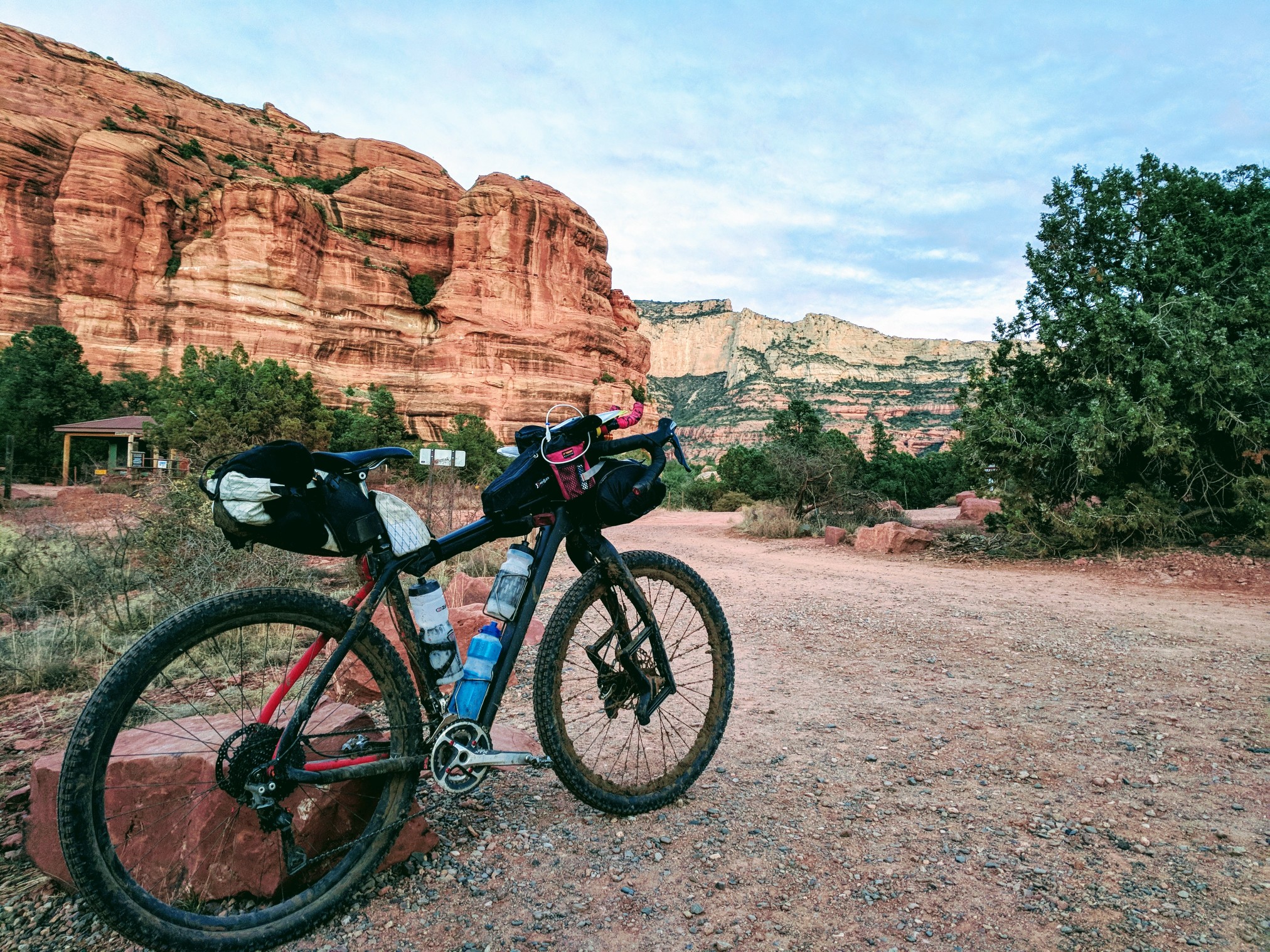
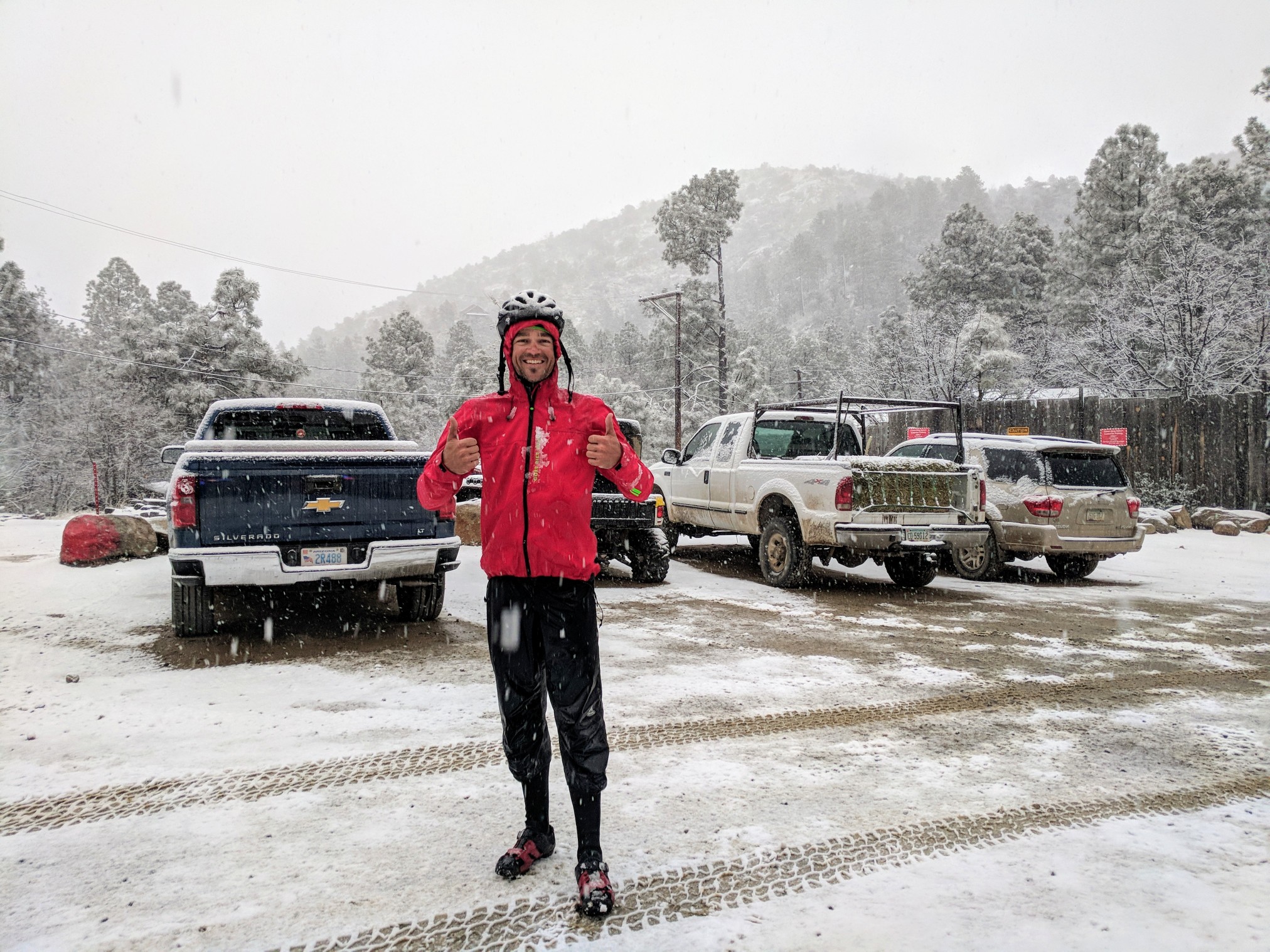
This was to be the shakedown ride for all of the gear I will bring on the Divide. Time to test the sleep system, the layering, and the organization of the bike, looking for any areas that could be improved upon. Efficiency with gear is paramount when trying to save both time and weight. Easily storable layers, and fast to set up sleeping gear saves hours and even days on a long trip. After my years of experience, I thought I had the perfect setup all sorted out. One of the most essential pieces of gear for me is the framebag. It gives me a giant place to stuff a water bladder and the Cutthroat’s front triangle is so huge I can store everything but the kitchen sink. Oveja Negra has been kind enough to sponsor me for the Divide and made me a custom framebag. It shipped in plenty of time to make it here, but USPS lost it for several days. Time to load the bike on Friday and there was still no package on the front porch. Time to roll with the first punch. Water bottle cages in, luckily this frame can fit 3 in the triangle. I velcroed the bivvy poles under the top tube and jammed my tools in the seat bag. I left all the warm weather stuff behind but added winter gloves and an emergency blanket. The temps were going to drop well below the 30 degrees that my quilt was designed for. I thought I could sleep in all my clothes and wrap in the heat reflective blanket to stay warm. My lightest setup ever, 39lbs without food or water.
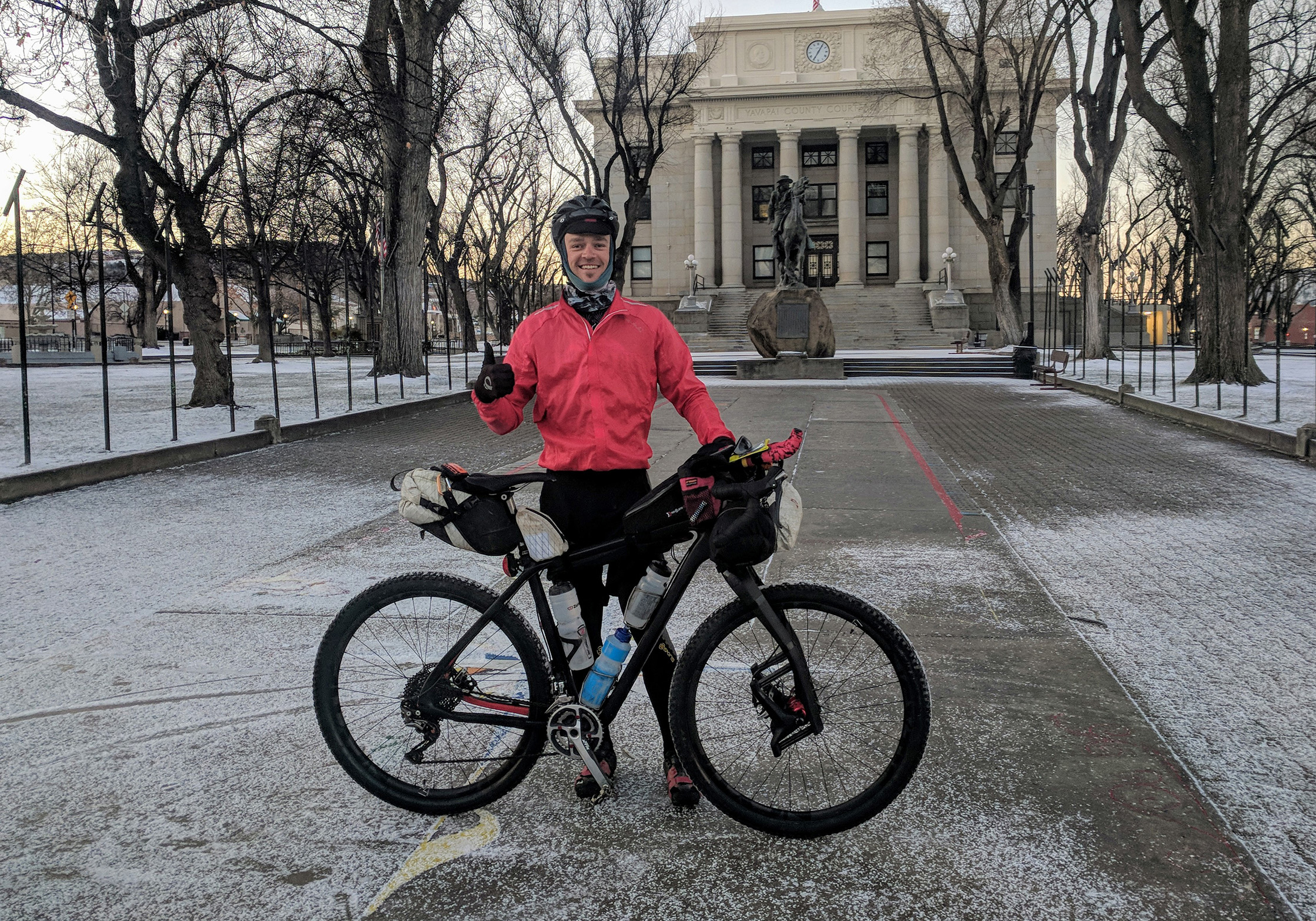
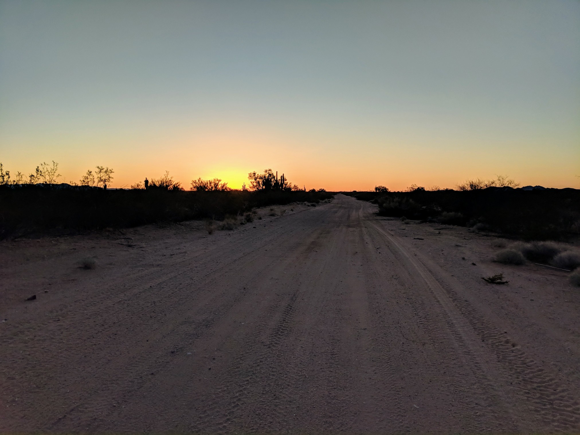
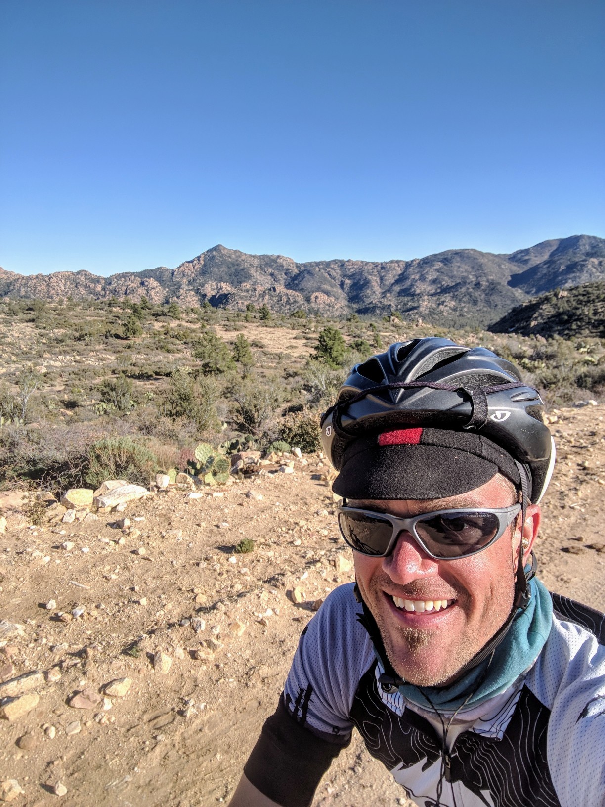
The departure from the Prescott Courthouse at 7am was covered in frost. Snow from the day before blanketed several areas of town, and only got deeper as I climbed higher in elevation. Knowing the day would start with a good climb, I could dress pretty light and the pedaling would keep me warm. Alex Tufail decided to join in at the last moment. As we left from town, I explained the Alamo Lake section was a bit of an unknown, but I would let him know how it went. Everything sparkled in the early morning sun, like glitter had been spread over the whole town.
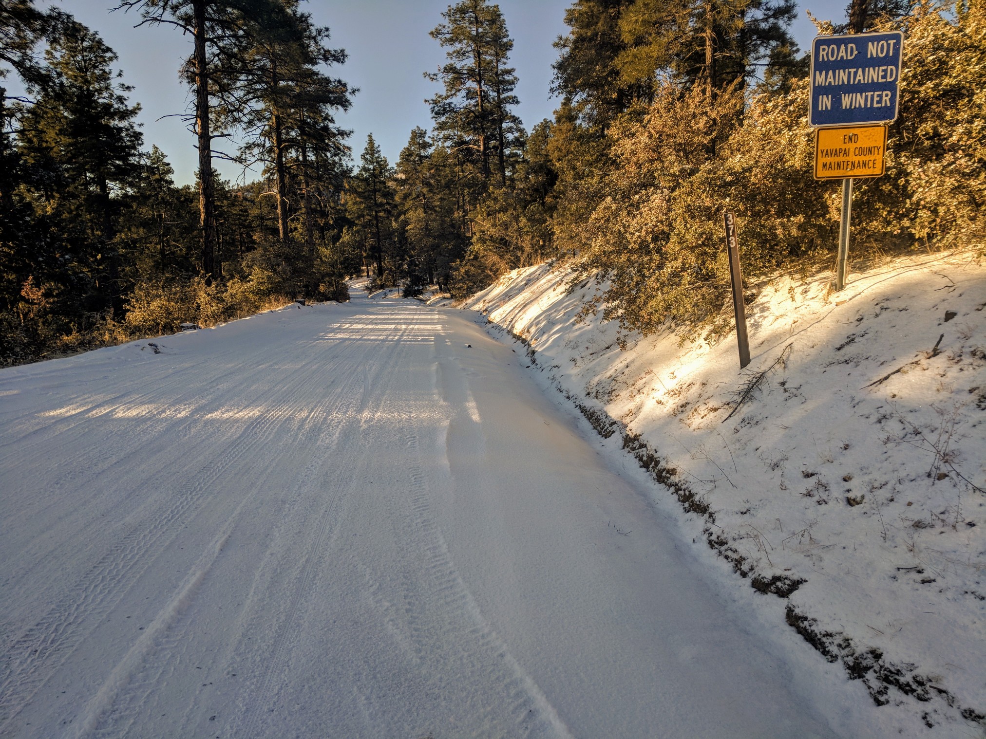
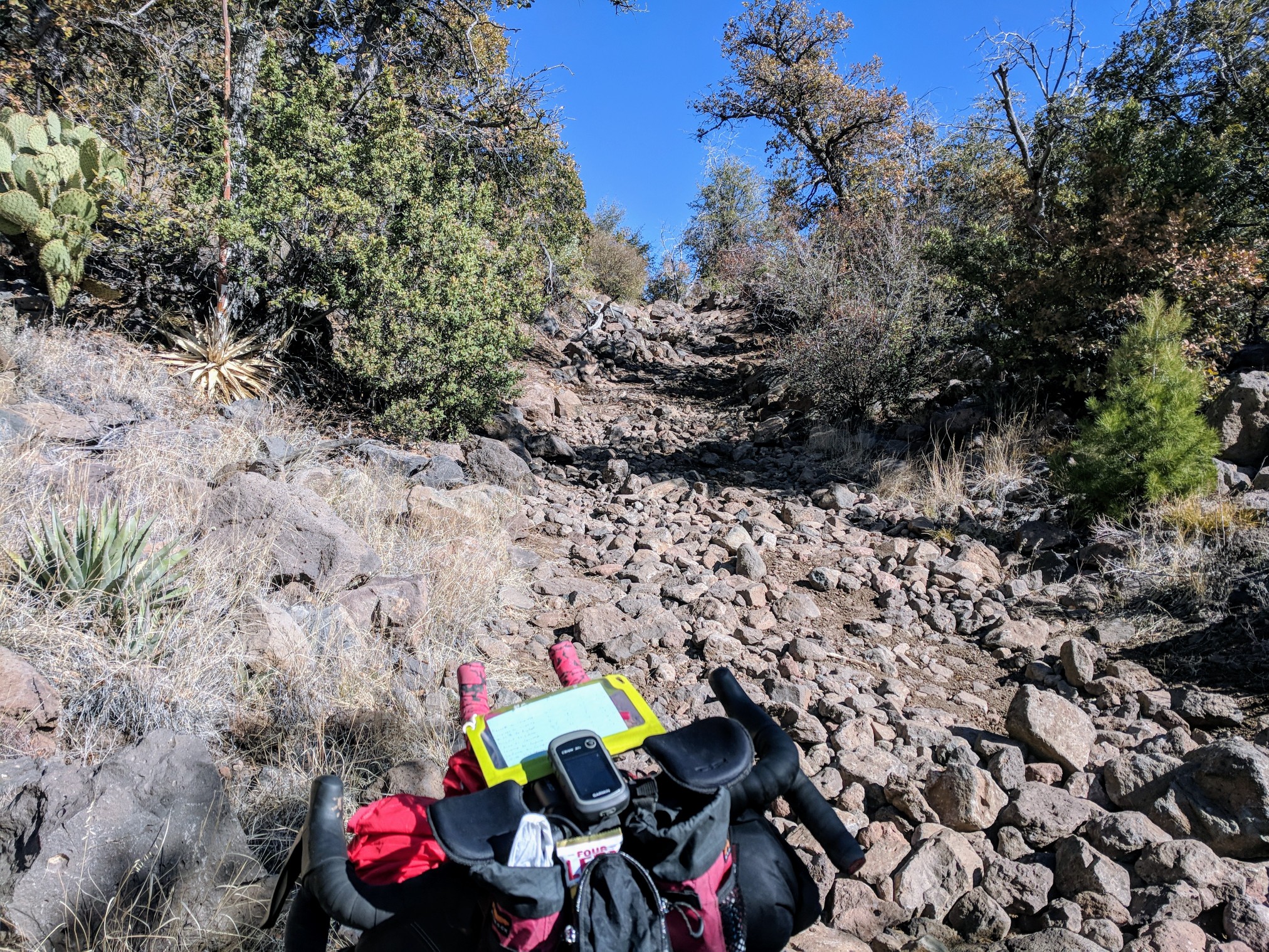
Thumb Butte Road gravel was covered in snow but my tires had plenty of traction to make the climb.
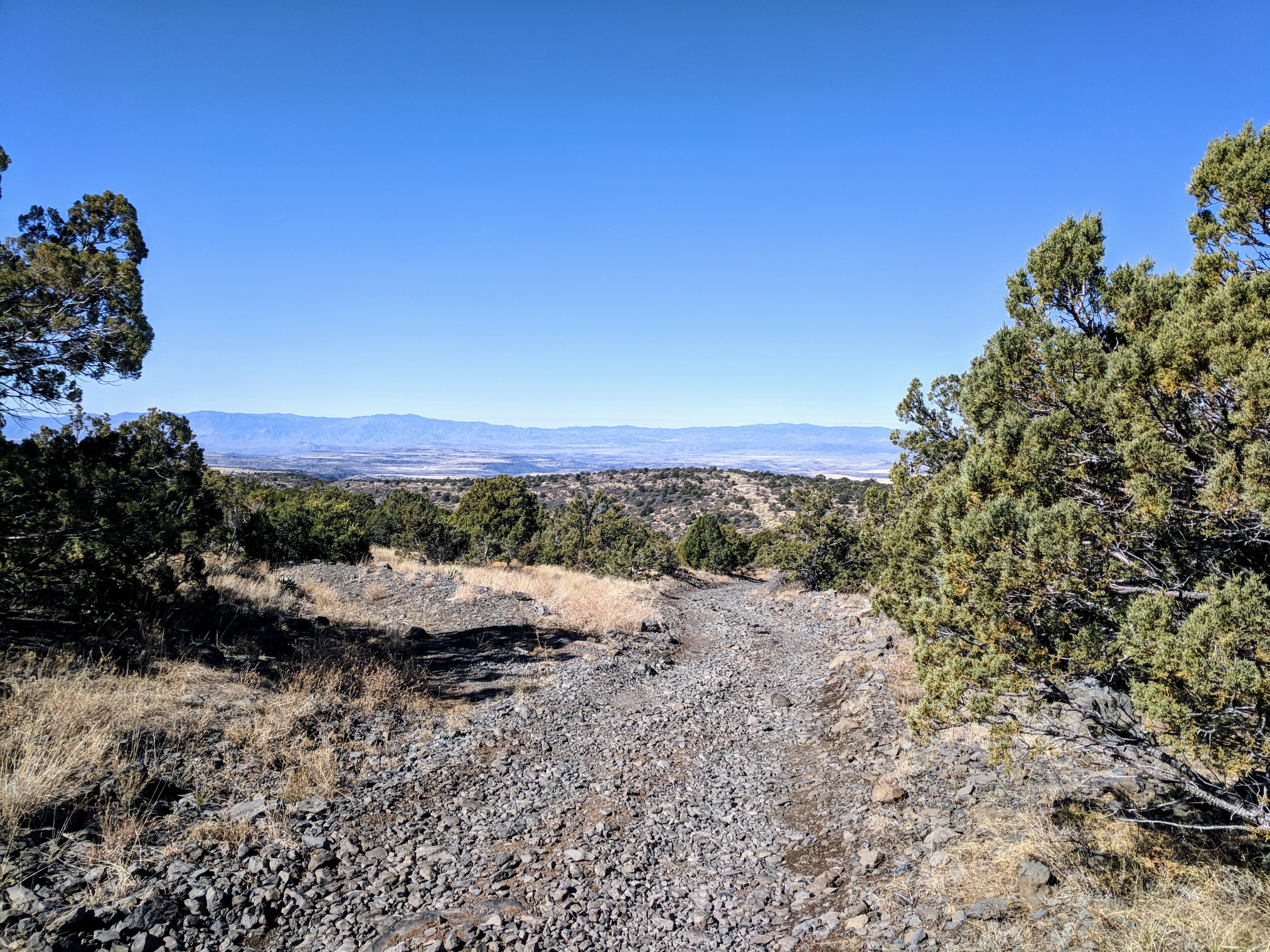
Thin Mint doppelganger Grasshoppers fueled the ride down Copper Basin Rd. to Skull Valley. The road to Hillside is hardly traveled and minutes passed between cars. Date Creek Ranch Road is a 20 mile stretch of gravel with sand and some fantastic washboard, that runs from Hillside to Congress. The gas station in Congress would be my first refill spot of the day.
I changed into lighter socks since it was warmer at lower elevation. Heading out of Congress, there is a dirt road fallen victim to erosion, sand and gullies every hundred yards, followed by riding straight through sand for a stretch. 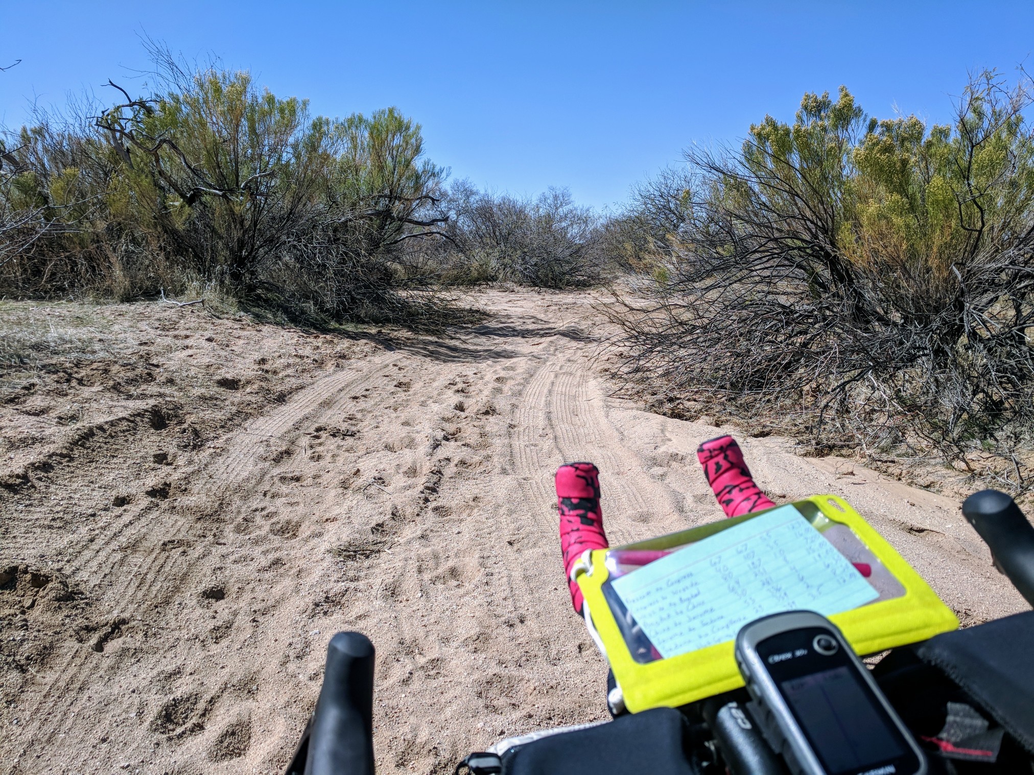
I escaped eventually by finding a cattle trail outside the sand wash. Even though I was dodging spiky bushes and cacti, it was rideable and faster than walking in the sand. After opening and closing at least half a dozen barbed wire gates, I crossed Highway 93 and got onto Alamo Road, 30 miles to the Wayside Oasis for ‘first’ dinner. The whole route to the lake was mainly downhill but between the sand, washboard, winds and gullies in the road, the pace was still slower than it could have been. 
When you show up to the Wayside Oasis on a bicycle, everyone notices. A tiny RV park in the middle of nowhere, home for some and a pit stop for those camping or riding ORVs, and fishing at Alamo Lake. Not the place you’d expect to find a cyclist.
As soon as I walk in the door, the lady behind the counter shouted, “How far did you ride to get here?”
“107 miles,” I shouted back.
“107 miles???” shaking her head in amazement.
I threw my phone on the charger while I ate a burger and chips. The waitress showed me the first bag of chips she grabbed was completely empty. When I went back outside, I spoke with a group of guys on quads who were camping near Alamo Lake. I asked them about Browns Crossing, and they told me to stay to the left, right on track with the route on my Garmin. Google maps also showed an alternate crossing to the right, my back up plan. From above the lake appeared just as I imagined, all dried up.
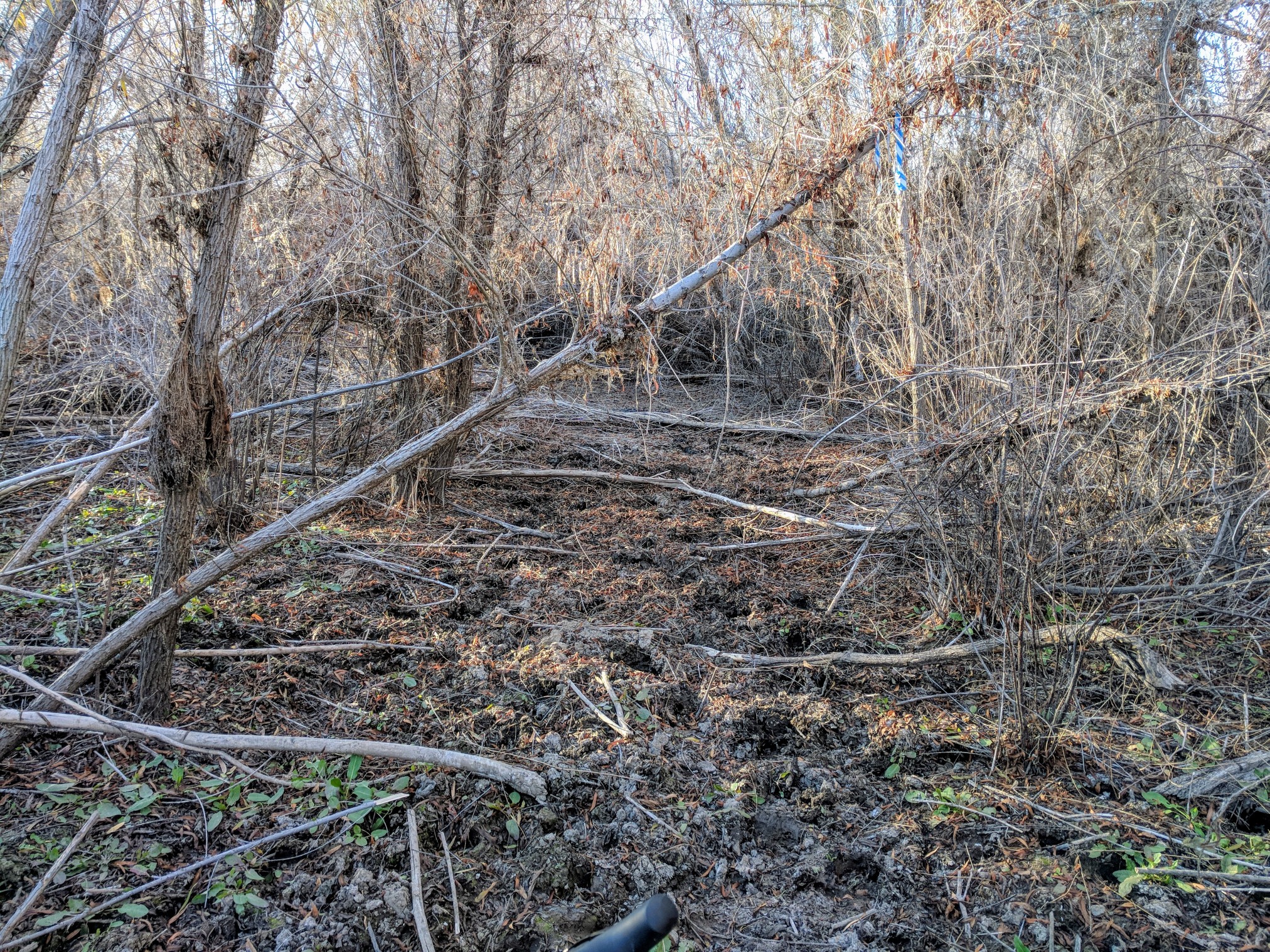
The first part of the crossing led to some cool tree tunnels.

There were a few dead ends I tried to follow by picking up the bike and carrying it, but I couldn’t find a path to follow.
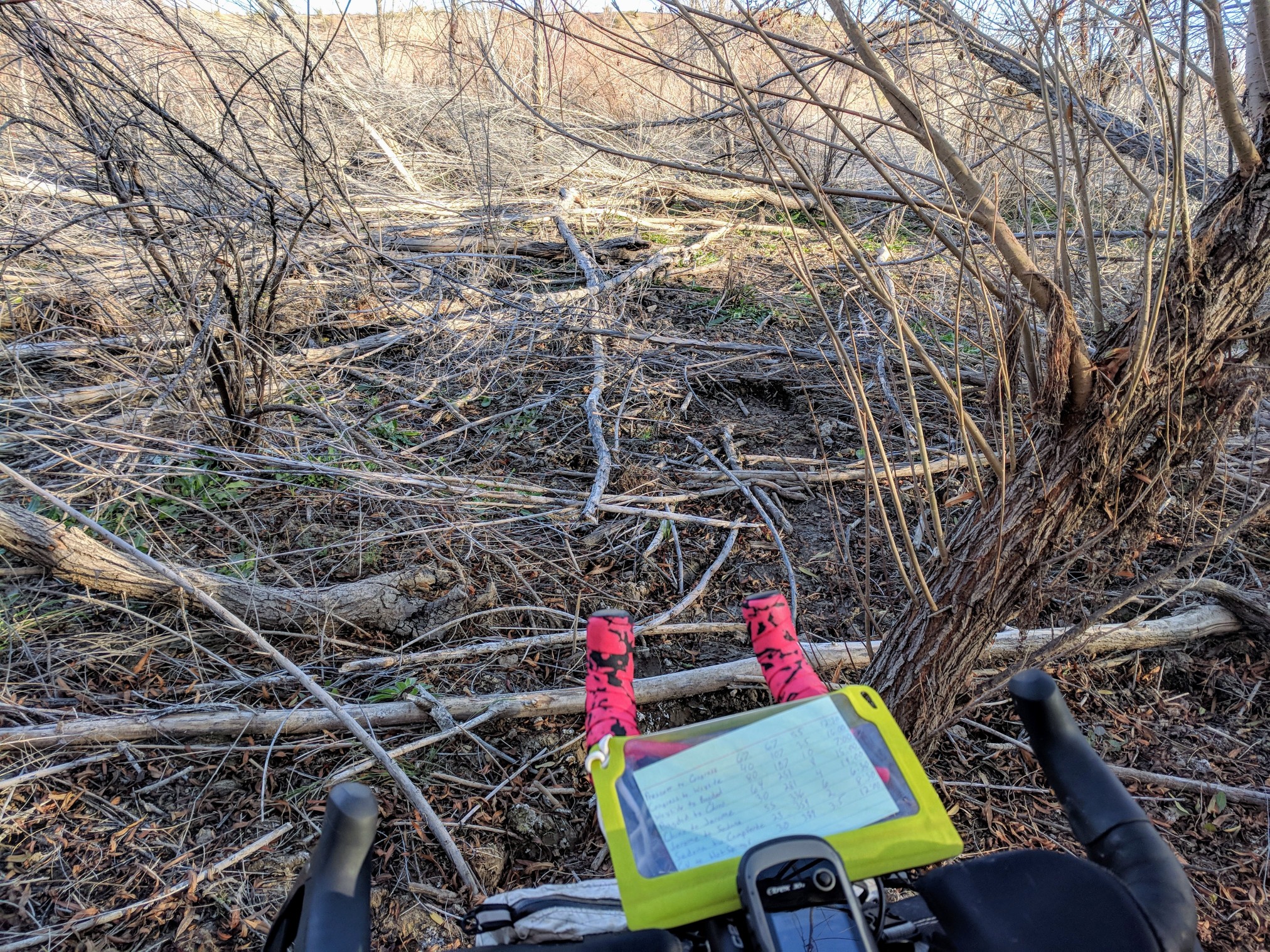
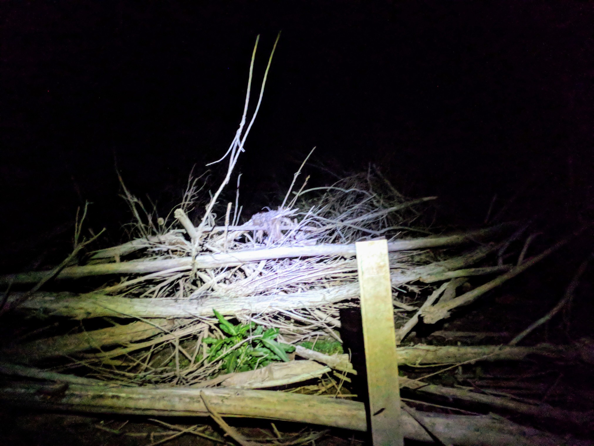
I found ribbons tied in trees and decided they were the path across. The dirt got more and more wet. I could see the lake ahead.
Just as I felt the cool of the water start to leak into my shoe, I stopped, turned around, and headed back to where I could put on my waterproof socks. If I really searched, I could see small ribbons tied in the trees every so often, so I kept an eye out for them as I entered the water.
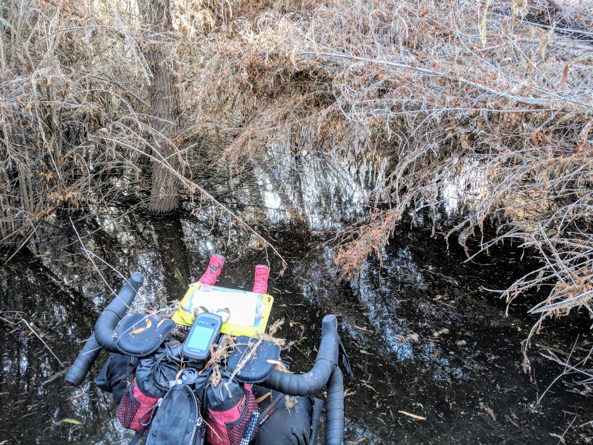
As it got deeper, I picked the bike up to keep the hubs and bottom bracket out of the water. The socks kept my feet totally dry. I got to the point where some trees had fallen over the opening I was following, a beaver had knocked it down.

I pushed my way through the brush and soon enough I was back on dry ground. I thought I had made it through the worst of it when I hit the tiny creek crossing. I thought nothing of it, my shoes were already wet. Both feet went into the quicksand in a second, and in half that time I was stuck. I used my bike the best I could to spread out my weight and move towards some fallen brush to help more. After a few steps of sinking deeper, I made it back to safety. I did my best to follow a cattle path through the thick brush but at many times there was no way and I had to ram the bike forward through the dry dead plants. When I heard motors I got excited to know there was at least someone nearby. When I saw four wheelers flying down the other side of the creek I knew a safe crossing was close. When I got there it was ankle deep clear water a few feet wide, and not quicksand! I used the water to rinse off my socks covered in silt from being stuck. I rode down the dry sand bar all the way back to my track
where the guys I had talked to earlier were all hanging out having a beer. It didn’t look like the trail continued any farther so I turned around and headed back, looking for the plan B crossing. As the line of the road approached on my Garmin, it was apparent that the route on this side had not been maintained in years. Where there had once been a crossing, it looked like a tornado went through and knocked everything down. I tried to follow the line, but I had to carry my bike over my head as I walked through the fallen trees. That only led to impenetrable brush. As the sun set, I found myself in a huge open sandpit, stretching for as far as my lights could see, in every direction.
In the distance, there was one lighter colored spot, maybe that was the access up to the next level, out of the lake bed. I pointed the tires in that direction and when I got there, it was a wall of sand. I continued along the wall, back in the direction I came from, checking out every opening I came across. All of them a dead end or a loop, or a debris field. I decided to head back towards the original track to give it one last chance. According to the track on the Garmin, I was only less than 500 feet from where I wanted to be, but that distance appeared to be more quicksand, possibly mud, and lots of fallen debris. I spotted a ribbon on a tree, like I had seen before. I eagerly hoisted my bike up over my head and started working my way through the fallen brush.
Another ribbon, and some trail markers! Woohoo! 50 feet later and the ground too soft to continue, the trail disappeared. It was too risky to continue in the dark, so I turned back to the best route across the lake bed, only having to cross the creek twice more. I thought the best idea was to cross all the water, so my shoes and socks could dry out a little sooner. I followed the really good road out, figuring the ATV guys should have said stay right, I could have avoided the lake and quicksand.
My feet seemed to be really wet, considering I was wearing my waterproof socks. They had performed really well up until now. I found a nice dry spot to start a fire. I tried to warm my feet, but the fire required constant attention. There were some rowdy campers just up the hill with a nice big fire. Music blasting from one of their RVs. The music shut off and a 4-wheeler was heading my way. It was one of the guys from earlier in the day. He said they knew it had to be me since there was only one light and I wasn’t moving fast like something with a motor. He invited me to come sit by their fire. They had an extra chair for me. I put my shoes back on, peed out the fire, and headed up to their camp. Their fire was huge! I pulled my shoes off, then my socks. Half a cup of water poured out of each of them as they rolled inside out off my soaked feet. Good thing I took them off now or I would have had some nasty swamp foot. I squeezed out as much of the water as I could, and laid them on the rocks by the fire. I pulled the Salami, cheddar, crackers, and a Coke from my bags for a 1000 calorie meal. The campers shared their stories of fishing and hunting javelina, then showed off their drone losing skills. I told my tales from the day I had and they only wished they had been able to help me earlier. They were truly impressed someone was trying to cross the lake with a bike and concluded that had I found my way across quickly, I could have been in Bagdad for breakfast. My goal was to make it to a little pull off a few miles from town. The fire was warm, and the guys were eager to show me the way in the morning. I was getting too antsy and looking at the clock, I could still get good miles in if I were to turn around and head back the way I came. Considering the condition of the marked trail, and the fact the guys said the path across changes every year, I wasn’t really keen on using this section in V2 of the ride. I decided to take the same route all the way back to Hillside, where I could bomb down the hill to Bagdad. I would end up with more miles, but it was a sure shot with good dirt and gravel most of the way. I put on my damp socks, and my warm but wet shoes and began packing my things. I stated I was going to head my way back towards Congress, instantly they all replied at once, “you’re leaving tonight? Not camping here?” “You Crazy?” I explained I had hoped to ride until 2am , and there was no way I can sit in one place for so long. After pleading and begging to show me the route in the morning, my mind was made up, I was gone.
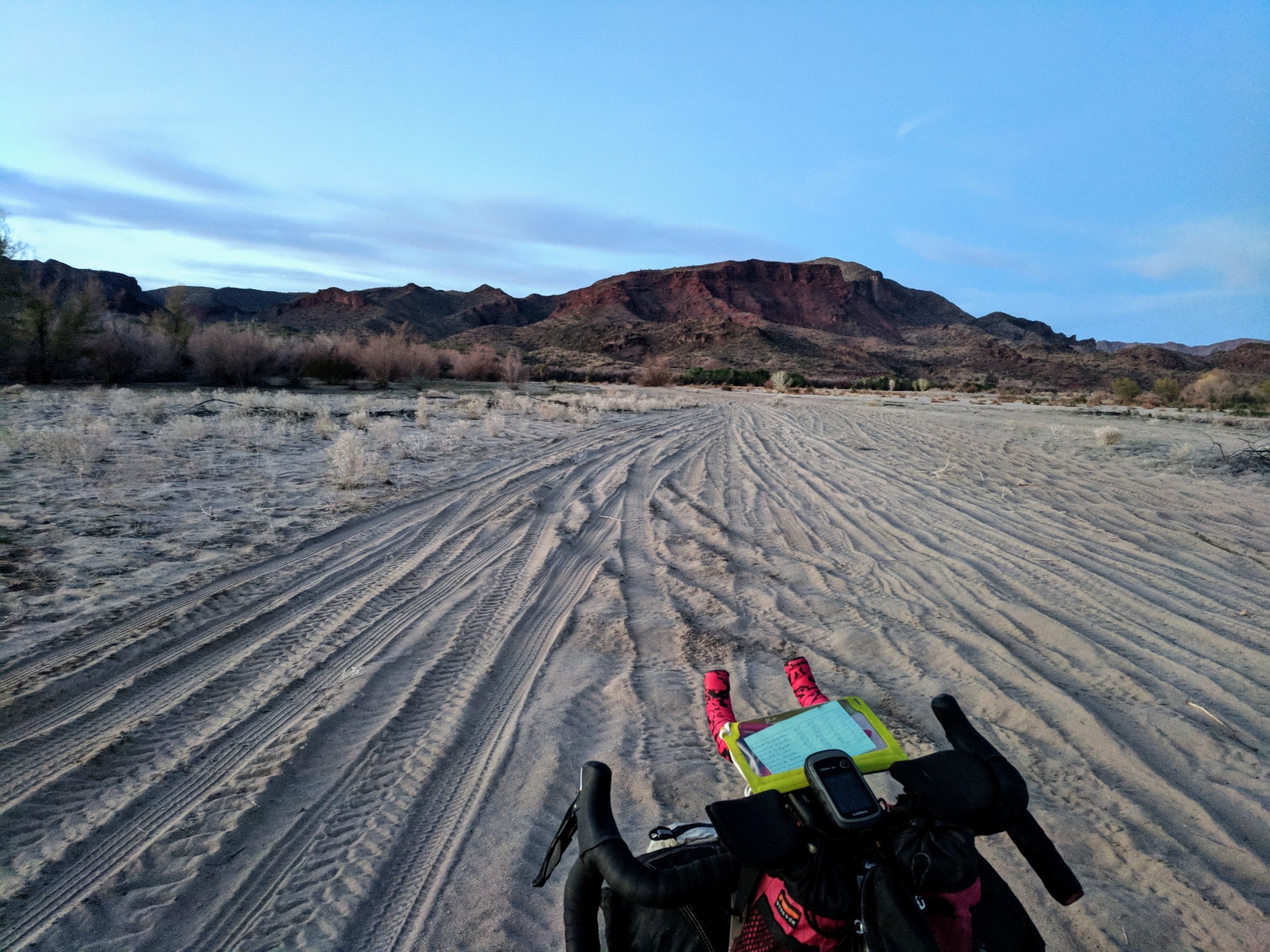
3 hours of route finding and 2.5 hours by the fire was almost 50 miles I could have covered. I pedaled back up the gentle sandy slope, past the oasis, until 1 am when I found a nice flat spot without too many spiky surroundings. 138 miles, 4500′ elevation gain. Short of the goal, but sleep would get me ready for the next day with lots more climbing. I knew the temps would drop below freezing, so when I made camp, I wrapped my down quilt with an emergency blanket and slept in my down jacket and other layers. My socks were still wet, and my feet a tiny bit cold. I figured if I wore the long socks to bed, my body heat would warm them. Two hours into the night, my feet were toasty.
When I woke up, the glow of the sun had just started to turn the sky gold. I had neglected to set an alarm, oops.
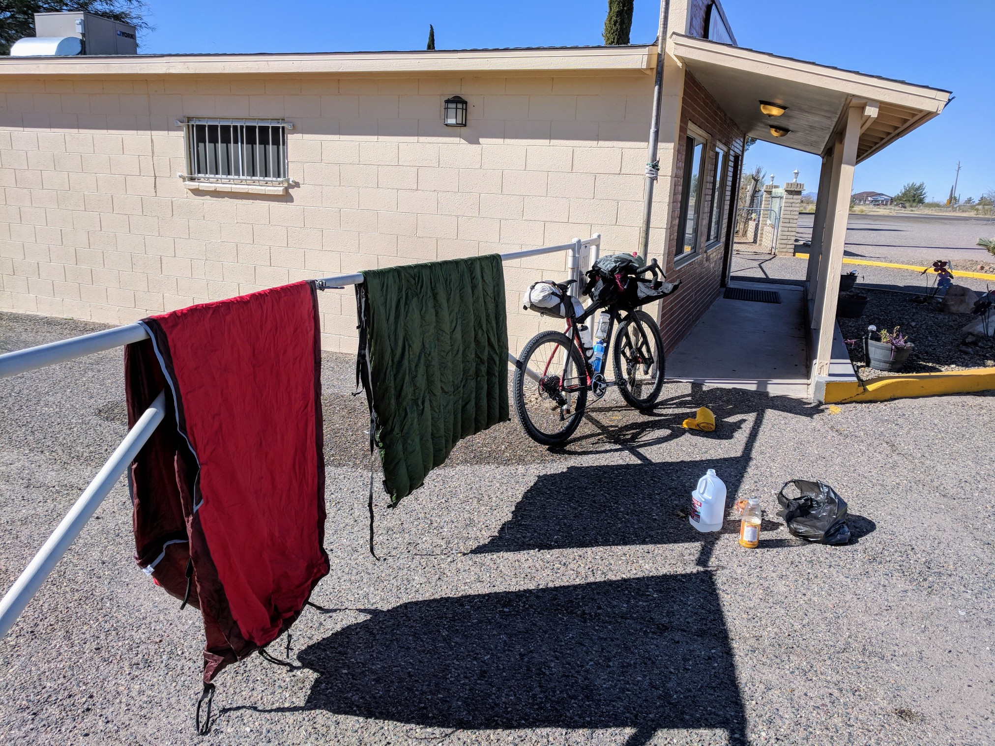
Frost on everything and water bottles were mostly frozen. When I pulled out the emergency blanket, ice crystals flaked off and blew away. If you are warm, and your tent is frozen outside, your insulation has done its job. I packed up as quickly as possible, knowing I would have to dry the gear out in the sun later. With only a couple of big Reece’s Peanut butter cups for breakfast, I pedaled the remaining 30 miles to town. When I got to the tiny grocery store in Congress, I filled the counter with food, orange juice, muffins, cans of coffee, and more candy bars. I still had some salami, cheddar, and crackers left from the day before. There were 20 miles of gravel and 20 miles of mostly downhill pavement to Bagdad, where I could get to a real grocery store. I ate breakfast and dried my gear next to the store.
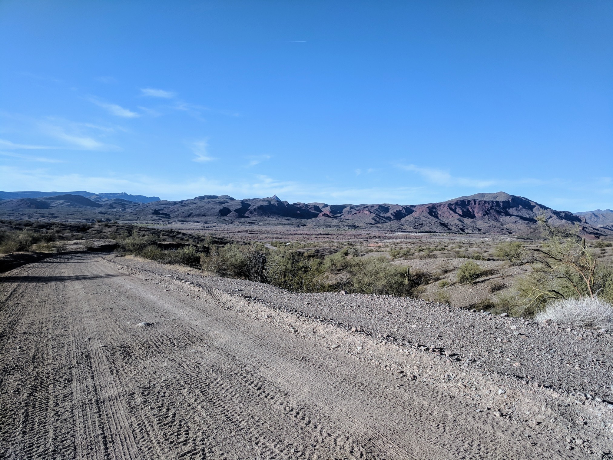
Date Creek Ranch Road was just as bumpy up as it was down. The day before, I hit some wind on the way in. I was hoping for a tailwind on the way back, but that wasn’t happening. Still, the road is pretty flat and has some nice views of the granite bouldery hills all around.
I have now ridden this section of road so many times, the miles tick by, hardly noticed. After all the washboard, the pavement was a welcome relief. I dropped into the aero bars and blasted down the winding turns through the desert landscape. I only stopped to eat a muffin and drink a coffee to power the last climb into town.
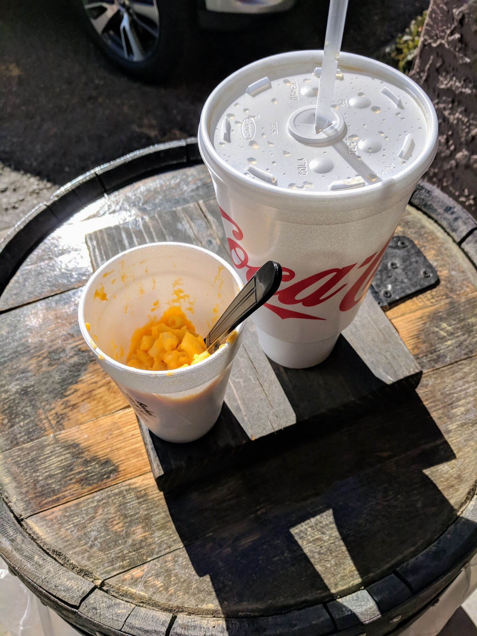
Bagdad is a mining town, and that’s it. A grocery store, gas station, and a couple other half open restaurants are all that the town has. Basha’s has a deli counter with hot food, and a pound of hot Mac and Cheese with a huge Coke sounded great and cheap.
It was another 60 miles to Chino Valley, my next refill option. If I made it as quickly as I knew was possible, plenty of places would be open. I rode this portion of the route ahead of time to make sure it didn’t cross any private property.
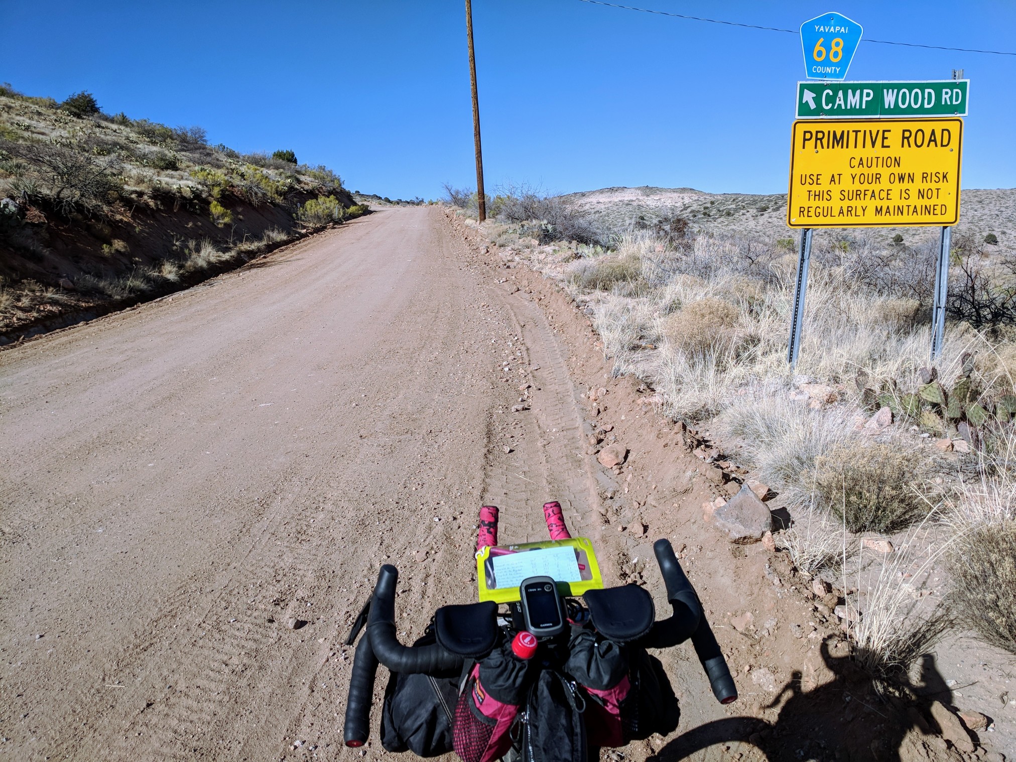
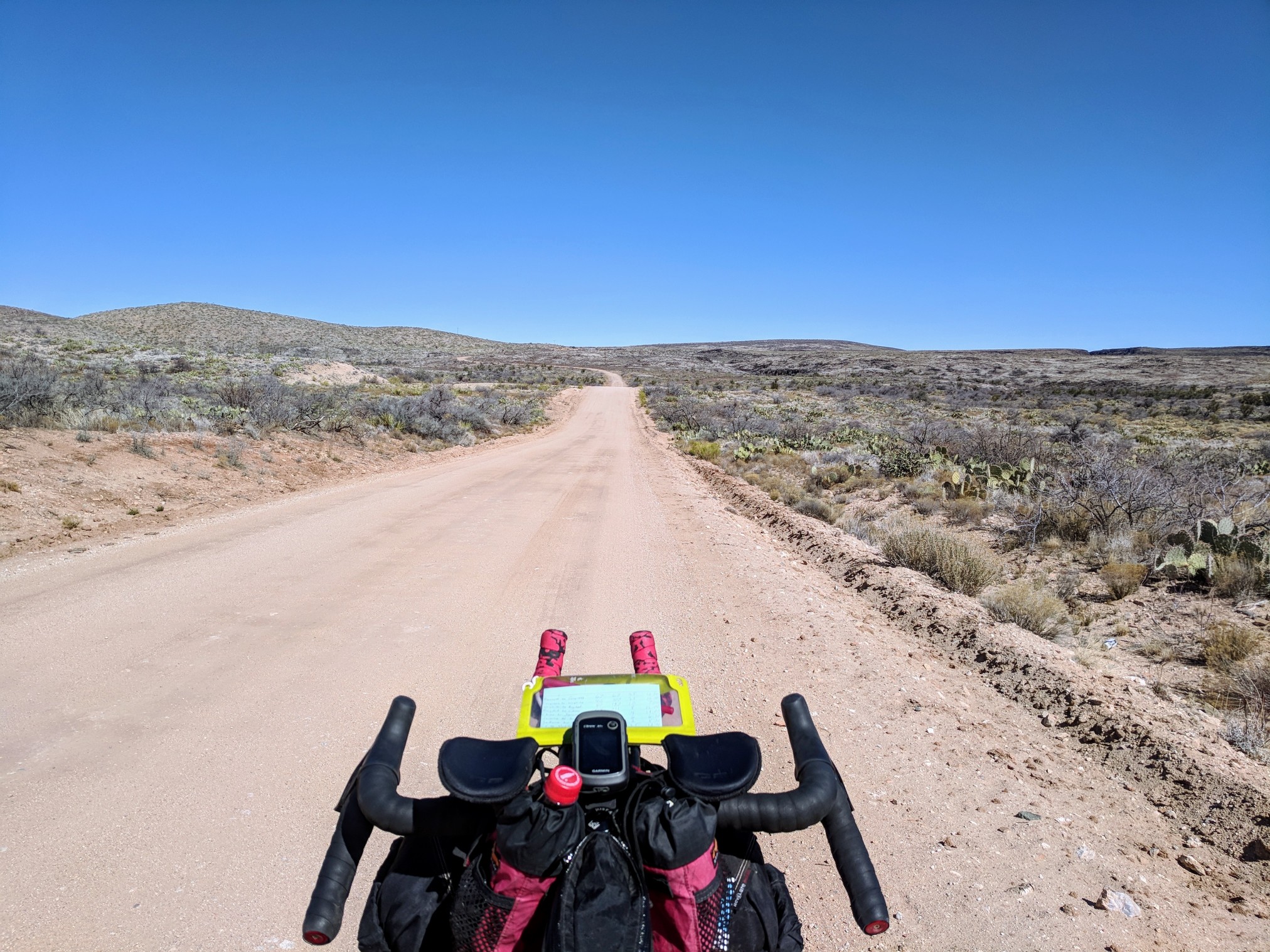
The climb up Camp Wood Road is beautiful. The gravel is great, the weather was great, I had a full belly and I was cruising.
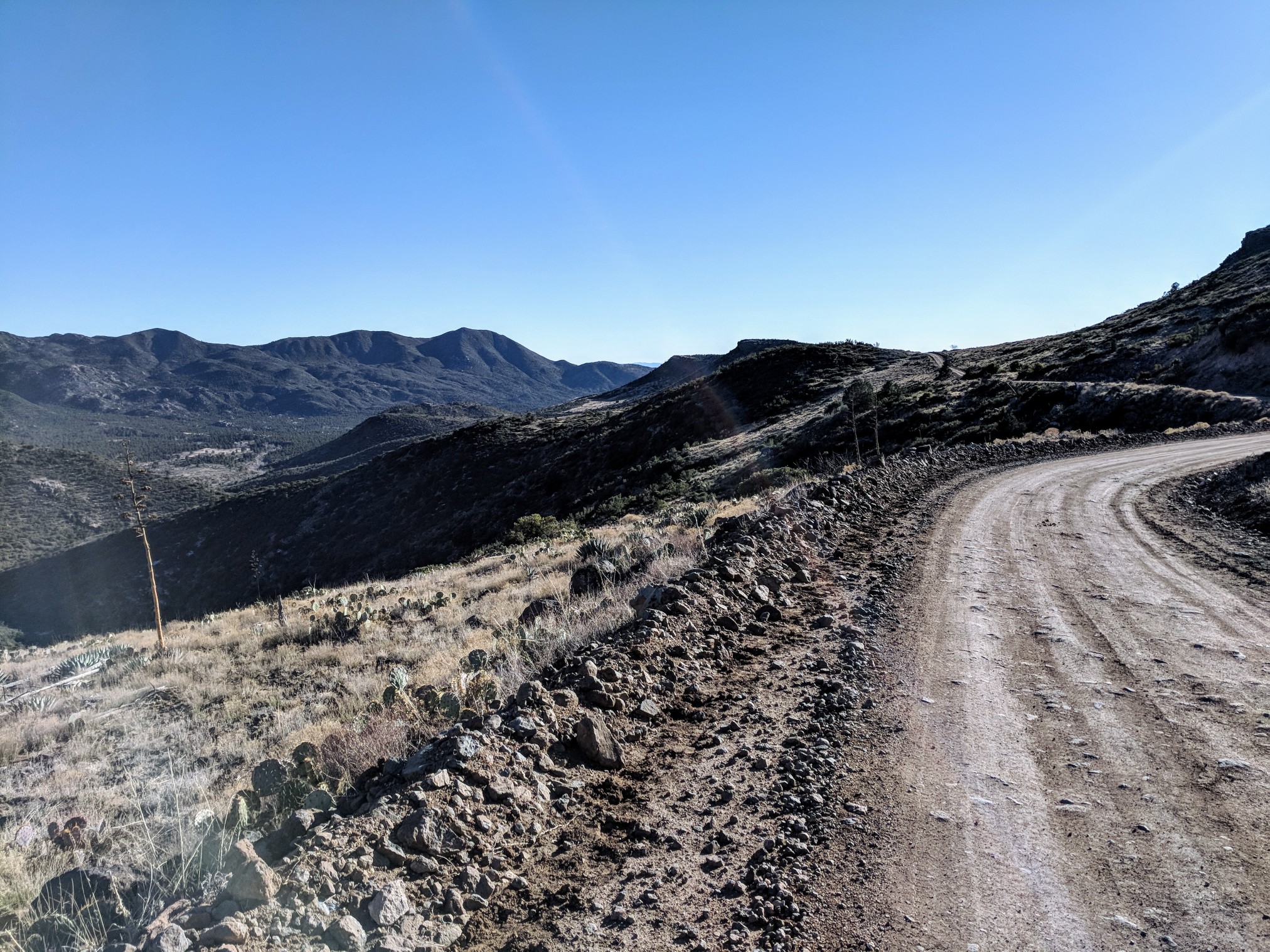
The first twenty miles went by quickly. I was excited to be on track again. I had climbed up to the mesa near the top, and I was nearing the pine trees. Just a little farther, and I would be coasting down to Williamson Valley Rd. That’s about when I rolled down a hill and watched the mud begin to layer onto the tires. I had hit the clay Kurt Refsnider had warned me about. My mood instantly shifted from happy to concerned. There was still almost 40 miles to Chino Valley, how many hours would I be pushing through this?

Will I have enough supplies to make it? It was hard to keep a rational mind when every few yards, I’d have to roll the bike backward and use my bare hands to scrape softball-size chunks of clay from the tires and out of the rear triangle. No sticks around to help me out. I kept pushing through, sometimes riding for a few seconds before getting bogged down again. The sun was almost set and the temps were dropping, so I stopped to put on arm warmers and my windbreaker. My mind was shattered. I felt like my whole plan for the ride was destroyed. I was now going to be almost 12 hours behind my goal time. This whole ride was roughly an hour away from home at any point. Being stuck in a crummy situation, so close to home, makes it very easy to call and ask for a ride of shame back to town. More and more, I wanted to throw in the towel and come back when it was dry. Tears of despair rolled down my face as I pulled my phone out. My hands were covered in half dry clay, I could hardly even unlock it, and when I did, there was no service. Blessing in disguise. With no chance of help, I had to find the way. Besides, I can’t call for a ride because of some mud, I can survive this, I have to make it, it has to get better. I remember the road turning to grey gravel and dirt near the pine trees. I switched to the elevation view on the Garmin to see what was coming. The next few miles were gently sloping uphill. I knew if I could just make it to Yolo Ranch, the conditions would improve.
The mile markers on the side of the road convinced me I was less than two miles away. Earlier in the day, I used the ground next to the road to escape the sand, maybe I could do that here too. I have tried to escape death mud by hiking just off the shoulder before, and usually, the clay and grass mix to form a mixture I am sure could build a house. This was different though, I was a little higher than Prescott, 5600′, and there was snow on the ground still. I pulled my bike up out of the road, scraped the tires off, and started pushing the bike over the volcanic rock and snow covered grass. It was rough, but I could push easier than being in the mud. I was dodging cacti and other thorny shrubs, but I kept moving forward. I was watching the road for a light stripe, a light stripe meant that the area was dry enough to ride. I carried on this way, between the road and the snow for a while. Finally, I could see the pine trees, and I knew I had survived the death mud.
My hands and bar tape were covered in clay and now I had to find a way to clean them. I found a tiny puddle in the road and used an empty water bottle to do my best rinse job of the drivetrain. Some of the mud cleaned off, some was stuck like a brick, and already freezing. I washed my hands in the freezing puddle, dried them the best I could, put on my gloves, and pressed on. I couldn’t snap into my pedals as I continued to the Camp Wood area. Most of the ground was covered in snow. I was looking for a clearing to have a small fire, eat some food, and try to clean my pedals. I made it to a good looking spot and began gathering half damp tinder to get the fire going. It took handfuls of pine needles and lots of blowing to get it started. I gathered bunches of half-frozen sticks and sat down to eat the Salami and Cheddar I had been carrying since Prescott. I scarfed down the 1000 calorie meal, used my lighter to thaw the mud from my pedals, and used the can opener from my Leatherman to scrape my shoes clean. Time to get the show back on the road, I peed out the fire, buried it, and was off again. When I hit the top of the climb, I had enough cell service to post an update on the conditions, and I started down to Williamson Valley Road.
By this time, the mud in and around the front derailleur had me locked into the tiny ring in front, and the rear derailleur was frozen with ice, to only allow the use of 4 of the easier gears. As I rolled into a flat area, I pedaled as fast as I possibly could, only to go 7 miles an hour. Time to come up with a plan. At this rate it was going to take me 3 hours to make it the 20 miles I had left to Chino Valley. The bike was not in good running order and I really wanted to get it cleaned off as soon as possible. If I kept moving forward I was going to leave Forest Service property and enter private property for the next 40 miles. All the services in Chino would be closed, including the carwash. The only thing that would be open was the Maverick gas station, which actually isn’t too bad. They have a pretty good selection of food. After leaving Chino Valley I would be crossing a large plain area where I have ridden several times before, early in the morning and the temperature always seems to be lower than everywhere else close-by, just a little higher in elevation. In order to escape I would have had to ride until 4 a.m. and I did not have it in me after the death mud. I decided to make camp and start a fire while I was still on Forest Service land and try to get up as early as possible to make good time into Chino, wash off the bike, eat as much food as I can, and ride as far as possible the next day. According to my GPS there were still 280 miles remaining. I knew the hike a bike out of the Verde River could take several painfully slow hours. Splitting the remainder in half still would not be good enough because the last day would end up taking an eternity with all of the climbing I had to do. Day 3 was going to have to be the biggest day by far if I was going to make it home at a decent time on day 4. I found a small previously-used campsite with several trees already knocked down and sitting next to a campfire ring. I quickly set up my tent and lit a fire to warm up. This night was sure to be colder as I was several thousand feet higher in elevation than the night before. I would try a different layering order tonight. I got in the silk liner wrapped it with the emergency blanket, put the down quilt around that, and slept in the bivvy with all my clothes on. Base layer wool shirt, boxers, thermal knickers, shorts, knee socks, jersey, arm warmers, windbreaker, down hoody, gloves, buff, and cap. I was plenty warm. I pulled my phone out to set an alarm, it was currently 1:30, four hours should do.
5:30 came quick and the frost on the bivvy was thick this morning. I should have known, the bike had started frosting when I was setting up the night before. It took a little effort to get moving, but I pulled the plug on my sleeping pad and got up to pee, no going back now. I was fully dressed, so I packed up the icy gear, shivering, and got back rolling around 6:30. Later than I hoped, but the earliest departure so far. The rear derailleur was still iced into the 3 or 4 easiest gears, so I had to coast down the gravel at a painfully slow 9 mph. I still had 20 miles of dirt, and 10 miles of road before I’d get to Chino Valley. I ate a bag of Famous Amos Cookies for a little breakfast snack. As I turned onto the Williamson Valley Road blacktop, the sun started peaking out in between the mountains to the East. A few miles later and the sun was hitting all of me, but not the drive train side of the bike, facing west. I stopped at a road sign, shifted into one harder gear that would work and turned the drive side to the sun while I ate another bag of cookies. All of a sudden I heard the derailleur pop into place, I knew the ice had thawed. I coaxed the rear derailleur into the 11 tooth gear, the front was still one big frozen hunk of clay, so I just rode cross chained. Everything was working ok. Brakes, pedals, and shifting, except for the front, but it didn’t sound bad. I tried to drink the can of Red Bull I bought thinking I’d drink it late last night and ride on. It was mostly frozen and had to be squeezed into my mouth. The last mile of gravel before town is absolutely brutal washboard. If it weren’t for the Lauf fork, my whole upper body would be destroyed. I was ecstatic to hit pavement again and roll the last bit into town.
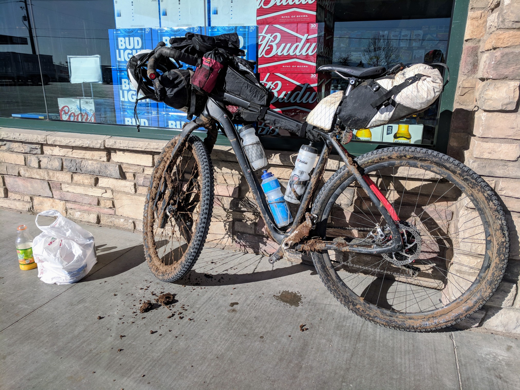
It was nice to hit another Maverick gas station. They are well stocked and open 24 hours a day. I could probably design another loop hitting as many Mavericks as possible and call it the Maverick Loop. I bought more of my favorites, muffins and canned coffee, OJ, a breakfast burrito, and more candy bars. Jerome only has restaurants, and I would hit another Maverick in Cottonwood soon enough. I still needed to clean the bike before I left town, and there was a carwash on route. When I got there, there were cones in front of everything and a sign explaining that during cold weather, the wash would be closed from 7-9am. It was 9:50. The owner was sitting in the office, when I asked how much longer, he said probably around 10. If I only had to wait that long, I could use the time eating at a place around the corner. I found a Subway and put down a $5 footlong as fast as I could. When I went back to the car wash, the owner had left. By this time the frozen clay had all softened, so I cleaned the front derailleur with a stick and left him a mud present. I lubed the chain and rolled out. The bike didn’t look pretty, but it was functioning properly and it sounded fine.
As I escaped town on Perkinsville Road and had made up my mind that with all of the setbacks behind me, today was going to be a fantastic day. At the start, I had hoped to ride over 160 a day. If I tried my hardest to minimize stop time and really hustled, I could still ride as far as I had intended. Time to do the work. The first few miles were notoriously washboarded, followed by full-on headwinds the whole ride on FR318a to the power substation, where the mountain began to shield me from the elements. I was out of the wind, but now dealing with the rocky 4-mile section connecting back to Perkinsville Rd. I ride this section all the time. I can sort of follow a smoothish line, but swerving on the road makes it slower than normal. I stopped to eat a muffin so I could digest it before I would need the energy later. The good gravel for the last 8 miles to Jerome went by quick as well, only gently climbing, then a 40mph descent into town.
I pulled over at the Jerome Fire Station to refill water, but after seeing I had 2 liters left, I decided not to carry any more weight up the steep, rocky climb ahead. I pulled off 89a onto Gulch Road, which connects to FR413. Just as I was about to start the 3 mile- 1200′ climb out of town, I remembered I hadn’t dried out my camping gear yet. It was 2:00, the end of the brightest part of the day. I ‘yard-saled’ my camping gear, flipped it over, inside out, and shook it out, to dry it as quickly as possible. In just a few minutes, everything was packed away and I was huffing and puffing up the rocky road.
Halfway up the climb, I heard a soft ping and a turn of the cranks later, the chain was off the bike. No big deal. I pulled out my chain breaker and toolkit and popped in a quick link. I lubed the chain again and pressed on. Less than an hour from town, I had made it to the top and could steady cruise my way along the contour road until the loose rocky plunge into Cottonwood.
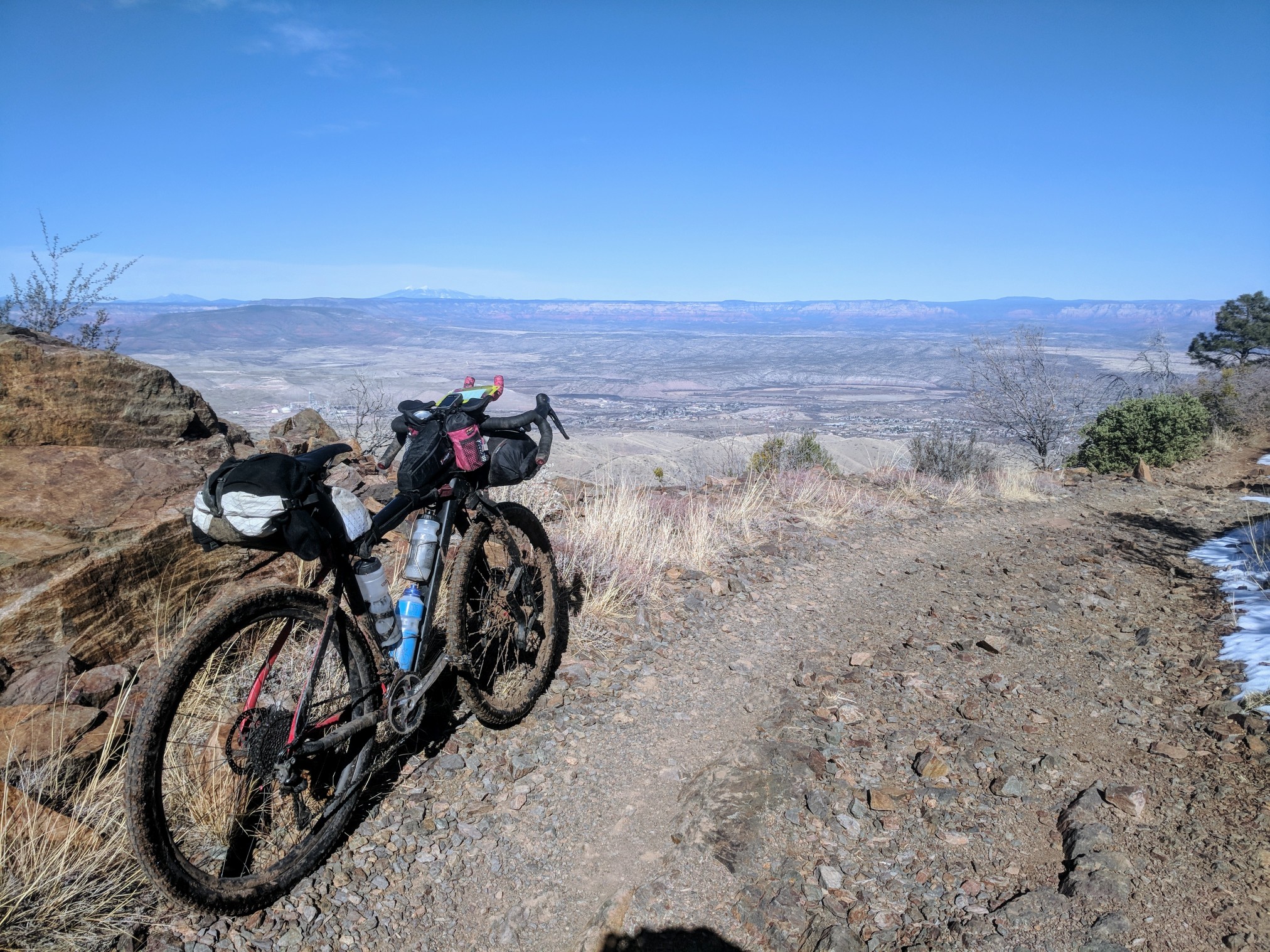
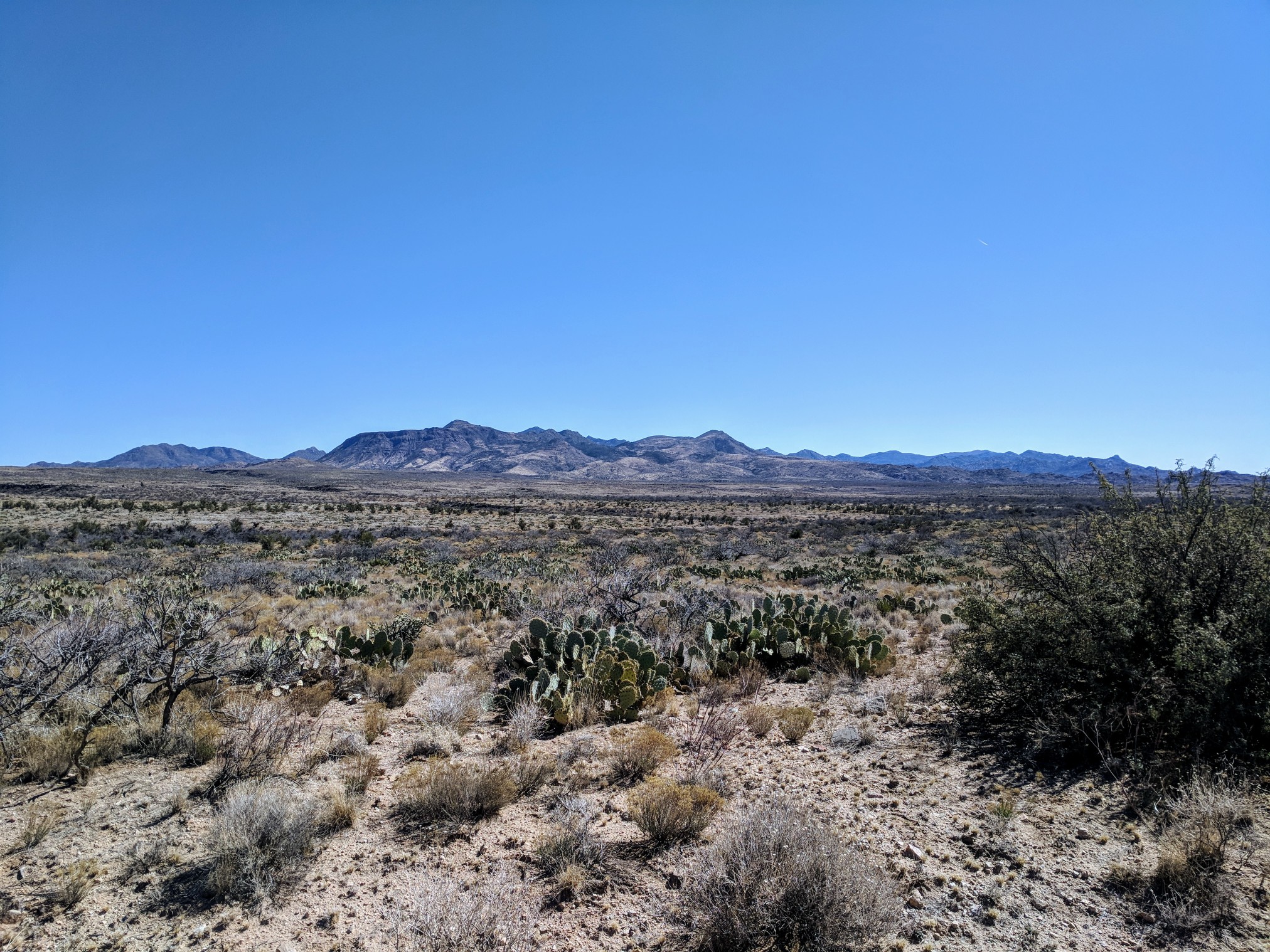
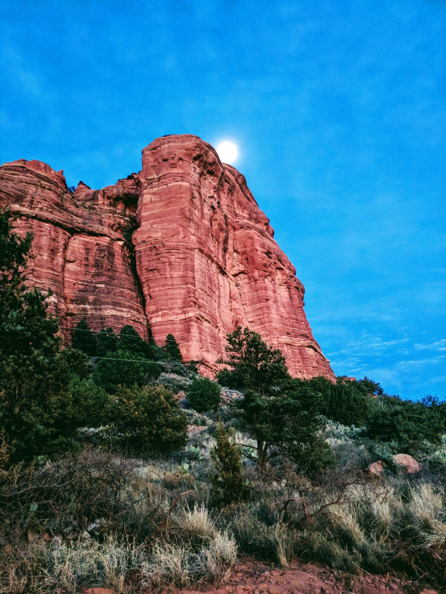
Thus far, my timing for the day was right where I was aiming. I still had food from earlier, it was another 40 miles to Sedona, I ran into the Maverick at the bottom of the descent, refilled my water bottles with the fountain, and rolled out towards the Tuzigoot National Monument area. The surrounding hills were made of layer upon layer of white and light orange chalky dust. Very different from everywhere else I had been, but since the whole area was surrounded by mine tailings, it kind of ruined it. The next portion of the trip took me along the gravel roads skirting the red rock of West Sedona. Sand roads turned to gravel, and gravel to rocks. I was on a few OHV trails to keep things interesting. In lew of a nicely maintained gravel route, I was riding in and out of river rock gullies, probably lots of fun for the weekenders that come to Sedona, but I was the only one out there today.
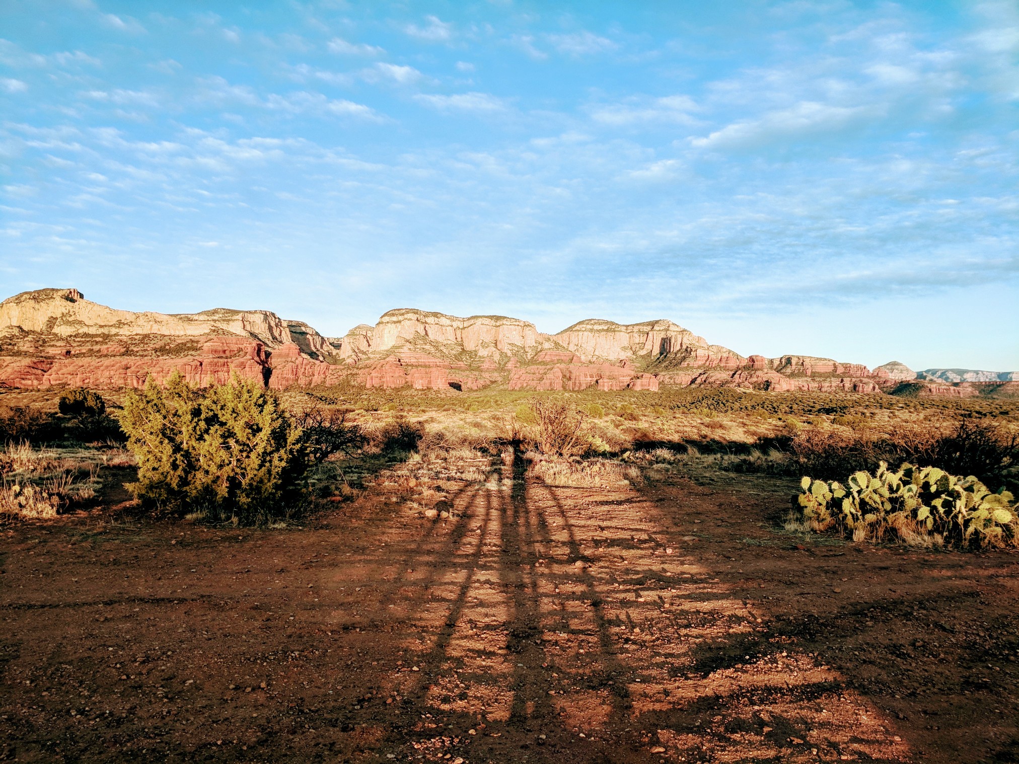
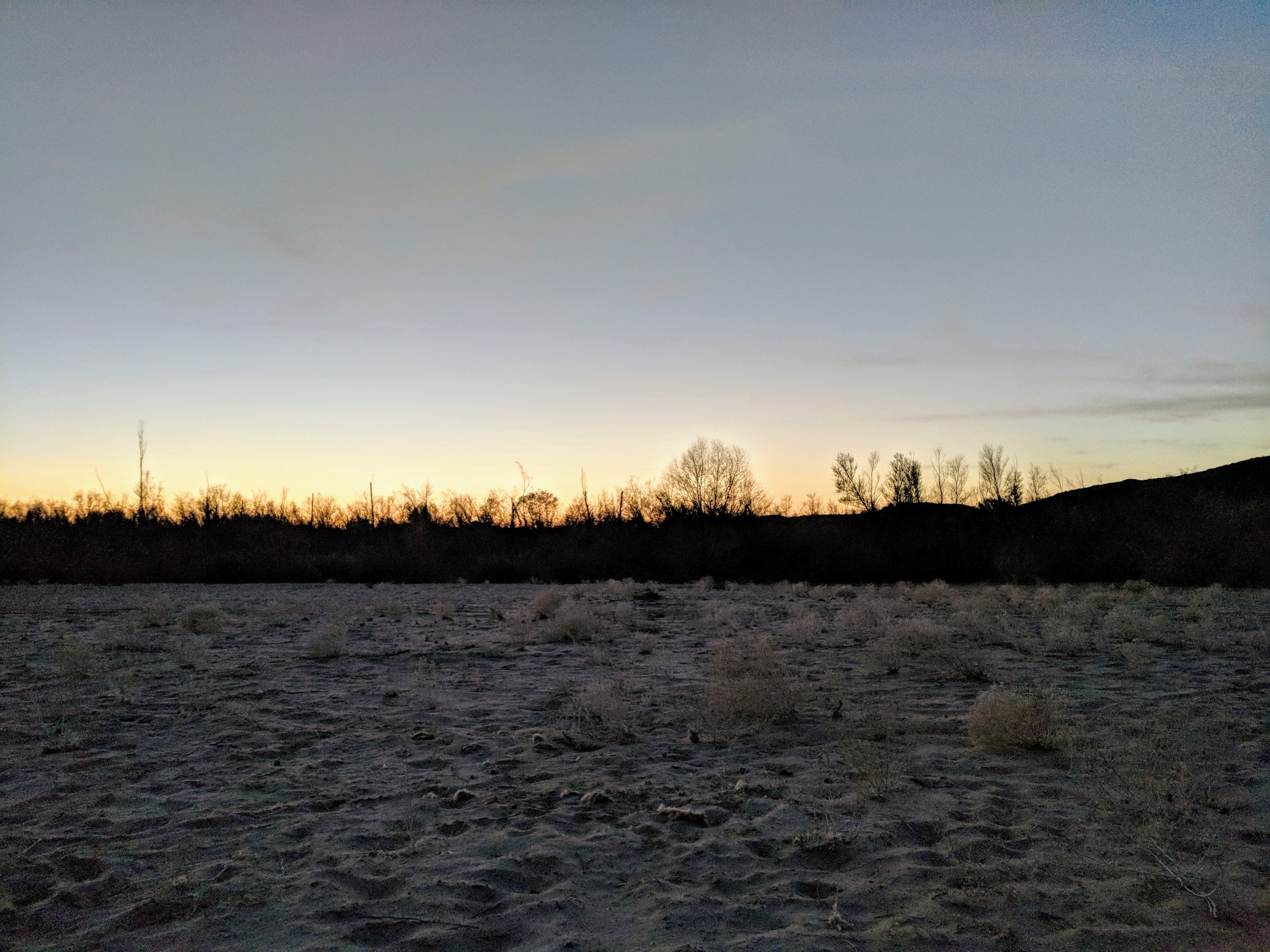
I was happy to enjoy the Red Rock scenery at sunset.
I took the opportunity to put on my night gear and eat some food. I would be in Sedona soon enough, but I didn’t want to fall behind on calories.
I got to Famous Pizza in Sedona around 8 pm, they still had slices ready, no time to wait for a pizza. I ordered two slices of pepperoni and got my free drink. As I was shoveling pizza in my mouth, a man approached me to ask where I had been riding. I told him I was in the middle of a 500-mile loop. He said he had done lots of bike touring, and offered me his leftover pizza. The toppings were less than desirable, but I ate all of it anyway. A few refills of Pepsi, half a pizza, and I was ready to go. The next several miles were downhill on the road so I put on my jacket and rolled down to Page Springs. From there, I took what seemed like maybe an old pipeline road the rest of the way to Camp Verde. The dirt wasn’t too bad, but very often the drainage cuts would look like the lip of a big jump and I would have to slam on the brakes to keep from launching in the air. A different bike, on a different day, and this road would be a blast. In the dark, not knowing what was next, it meant slowing down to avoid a wreck. I spit out on the pavement near the Cliff Castle Casino and rode into Camp Verde, there was a car wash up a hill. I was momentarily excited until I saw the credit card machine and change machine were both out of order.
My third Maverick of the day was in Camp Verde. When I arrived around midnight, I looked at my notecard to estimate how many calories to bring along until the next refill. I was heading into remote and difficult to access territory, so extra calories were a good idea. 3600 should do it, I counted what I had left and went inside. I ravaged the cookie and candy bar aisle. Grabbed some muffins and coffee for the morning, a 5-hour energy, and a bottle of Coke. As I walked around and filled my arms, the clerk was cleaning the hot dog bar and asking me every question he could think of. He had seen guys ride in on bikes late at night before, but they were there buying scratch offs and booze, not candy and 5-hour energy, trying to ride another 30 miles. I carried my load outside, packed away the bike. I ran back in to fill my water bottles, sucked down the 5-hour energy, and took off into the darkness.
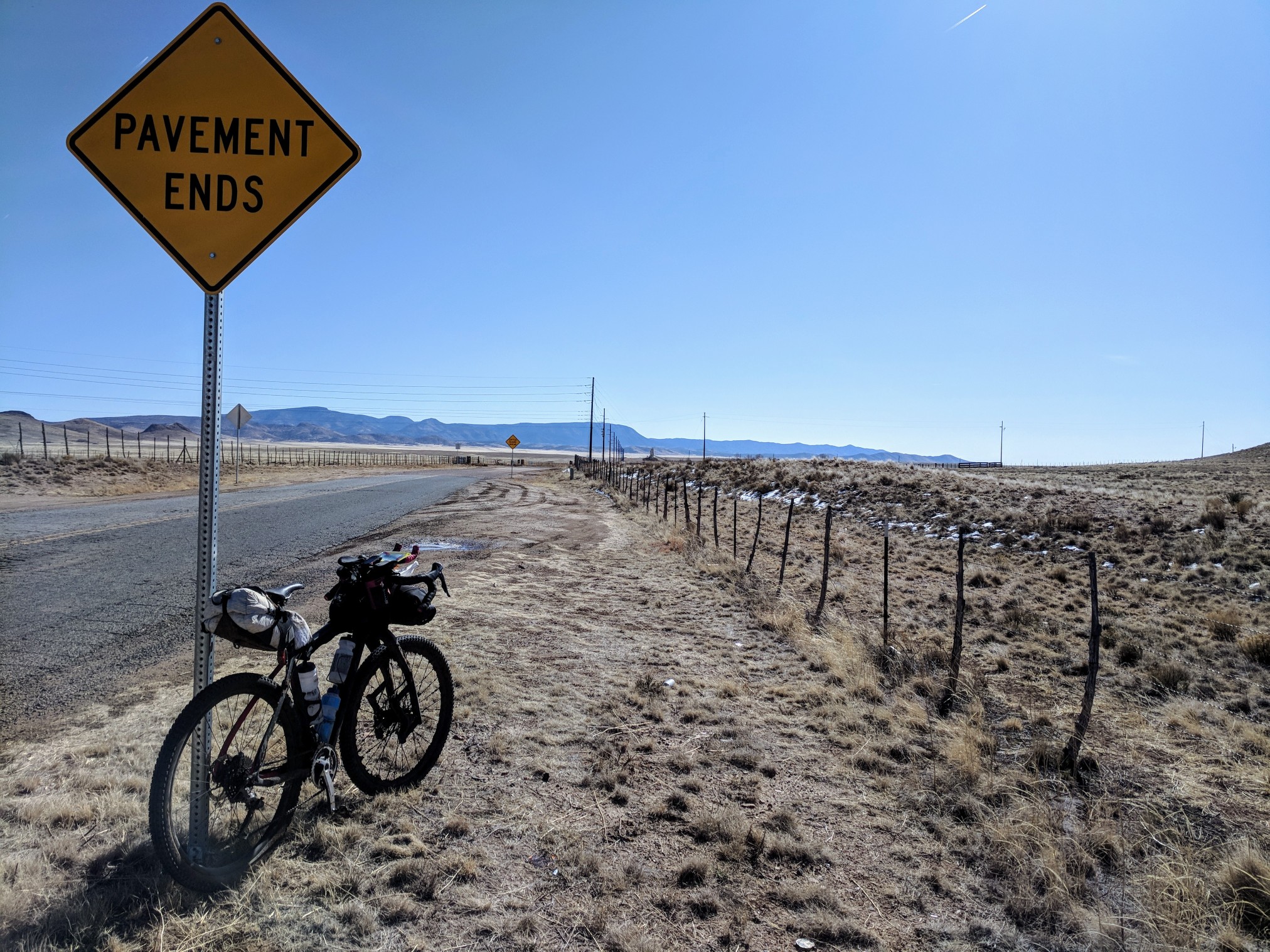
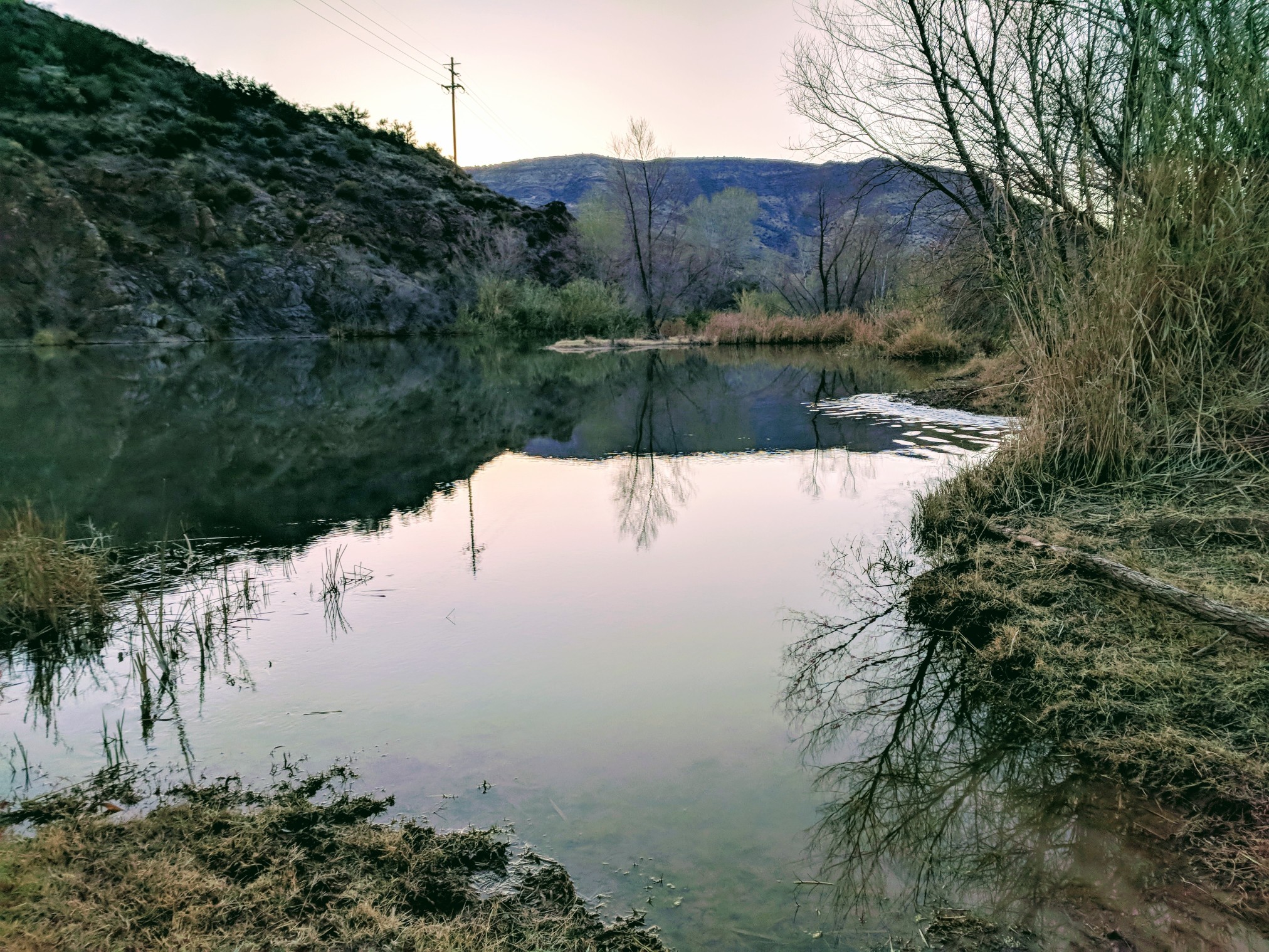
A few miles of pavement with good shoulder lead me all the way to Fossil Creek Rd. A 21 mile stretch of gravel leading to the Verde River crossing at the old Childs Power Plant. The plan was to sleep at the river, making the crossing at first light. Fossil Creek Road is beautiful during the day, under a full moon, it is a very special treat. Not one car the whole stretch, not a surprise considering the road is a dead end and it was 1 am on a Monday. The moon lit the sky just enough to outline the faint horizon of the desert landscape. I stopped about halfway through the dirt to drink my Coke, that didn’t settle too well with the 5-hour energy. Next time I will eat some sort of snack with it, but hey, I was awake. The mile markers ticked by for another hour until I made it to the gate blocking the entrance to the old vehicle crossing. From there, the road becomes more a path that runs alongside the river until it dead ends at a wide shallow spot in the river. I had crossed here a couple years earlier, but I think the water was a little bit higher. The safest place to cross is not a straight line, and you can’t see the other side of the river in the daylight, let alone in the dark. I wandered around until I found a flat spot not covered in river rock and debris. I set up camp and got in the tent at 4 am. I had covered 171 miles, 11,000′ gain. Alarm set for 6.
While the alarm went off after the blink of an eye, I was raring to go. Ready to ride this thing out and get home to my family, a nice hot shower, and a beer. 111 miles and the biggest day of climbing this trip. There was no frost on the gear this morning, I packed it up without having to worry about pulling it back out later to dry. I ate a muffin and drank a coffee while I packed. The banks along the river were crystallizing over the top with ice. The water must be cold. I stripped my bottom half to my undies and put my shoes back on.
After several attempts to psych my self up for the cold water, I marched in, picked the hubs and bottom bracket higher than the water, and used the flow to rinse the mud off the rims. I waded to the other side and found a dry spot to get dressed. Ice formed on the brake rotors and spoke intersections. After getting dressed, I lubed the chain again as I was about to be cranking hard.

The climb out of the Verde is almost completely unrideable. The first two miles are steep, and the next several after that only get worse.

I took several opportunities to eat more food as all the hard work was definitely burning more calories. To speed things up, I tried to pedal every chance I got, but after a few dozen yards, I was pushing up steep, loose rocks again.
My estimate for the climb was 6 hours. When I hit the top in 4, I was thrilled.

What I had forgotten was how rough the roads were for the next several miles. To top it off, the winds were blasting! I could ride the bike, but I was dodging volcanic rocks the size of baby heads, and babies. Many miles later when the road smoothed out, the headwinds were relentless.
A real meal in Mayer was all I was hoping for. There was a short section of pavement under highway 17, then another 10 miles or so of good gravel down Old Sycamore Rd. to Mayer. Crazy wind would be the theme for the next 30 miles or more, up hills or down, the work was all extra. I hit the pavement and dropped into the aero bars to mash out the last few miles to food. The last time I rode through Mayer, I was sad to see the little cafe had closed. Hitting town from this side, I realized they had just moved the location to be directly on Hwy 69. I ordered a hot beef sandwich and a huge scoop of potato salad and started to down the Pepsi. I was gonna eat as much as I could with the 12-mile climb coming up. I ate everything on my plate.
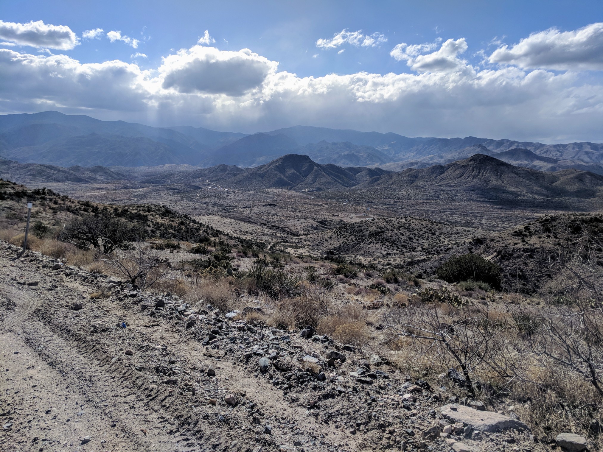
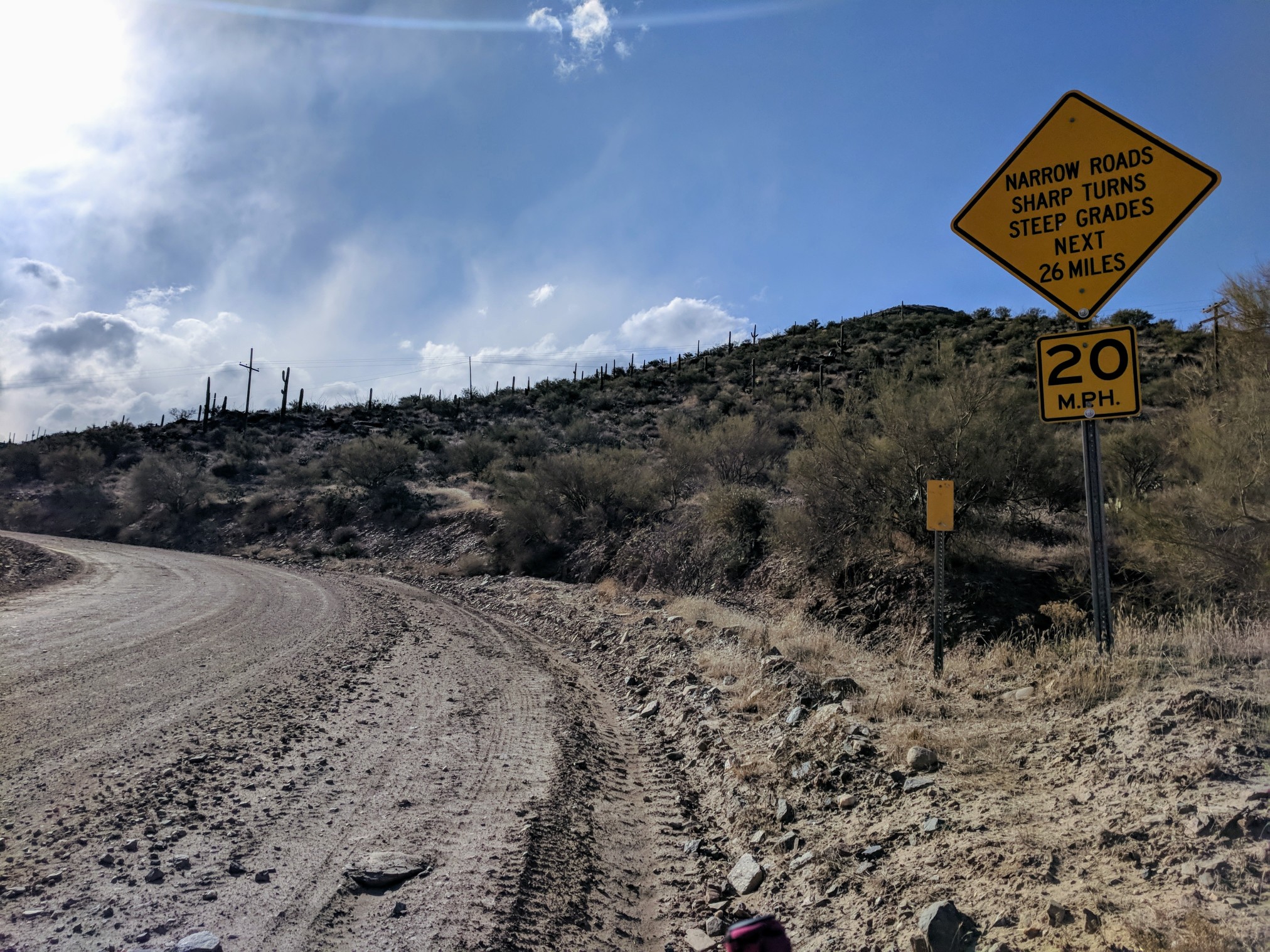
Crown King is only 30 miles from Mayer, much of it downhill, on a pretty good dirt road, it has its share of washboard, but not too terrible. The winds through this section were non stop. Even on the downhills, if I stopped pedaling, the bike would stop too. Once I was a few miles out of town, I could see Crown King up on the mountain. Clouds surrounded the peak, and there was an odd foggy appearance under them.
I checked the weather, and it called for a snow-rain mix, turning to snow, for the rest of the night. This should make for an interesting ride home. I could have turned around there, and taken the highway home, and made it before dinner. That wasn’t the route though. I had all my rain gear and I was ready for the test. I passed right by Cleator and started up the 12-mile climb to Crown King.
The higher I got, the damper the road started to feel, not wet, just like when they spray a baseball field before the game to keep the dust down. If the road had been any busier, it would have been great for breathing. ATVs speed down the road so much, it is usually covered in a soft, slow powder. Today it rolled pretty quick, considering the everpresent washboard. Two-thirds of the way up, the precipitation started. At first, it’s always a battle of, is the rain wetter, or will I sweat out my rain gear worse? Very quickly, I threw all the rain gear on. I wasn’t going to let myself get too cold, ice crystals were falling, and there was still 40+ miles to the house. The weather report said it was going to be like this all night. I had to be ready for the long haul. I have ridden from Crown King to Prescott in the dark before, but now there was snow, lots of it. From both the night before the ride started, as well as what had been coming down up here for a while. Eating food with rain mitts etc. is a bit of a chore, and since it was coming down as snow, not rain, I thought I would take advantage of the Saloon’s fireplace to dry everything out as much as I could, while maxing out on calories. If I ate enough here, I would be able to make it home, with maybe just a snack. The precipitation had fully turned to snow, well before rolling up to the Saloon.
The couple standing outside smoking couldn’t decide what to ask me first, or I heard too many questions at once, I still had earbuds in. I removed them and asked for a repeat.
“You rode up here in the snow?” “Which way’d you come from?” “You’re stayin’ here tonight, right?”
“Yes, long story, no way, I’m riding to Prescott,” I replied.
I told them the plan was to eat as much food as possible and the female exclaimed, “The restaurant is closed hon! They do have some microwave sandwiches behind the bar though.”
If it was hot and salty, I couldn’t care less. I asked them to snap a picture, and I went inside.
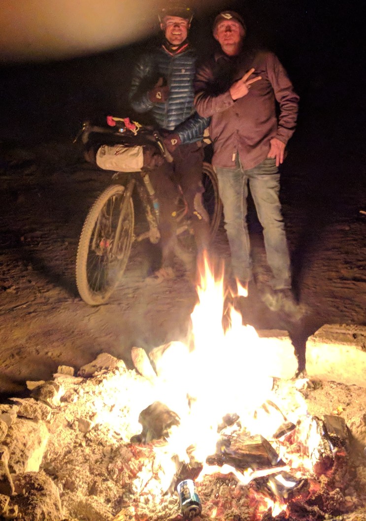
Holy hotness! Two fireplaces had the place roasting. I don’t know if it’s my red jacket, or that I was covered in snow, but all eyes were on me when I walked in the place. Oh, my, all the hootin’ and hollerin’ by these guys. One immediately offered to buy me a beer, but I asked him if a Coke was OK, I still had to ride to Prescott. Then all the noise started again. All these guys had been drinking all afternoon, and I was their new entertainment piece. In between joking back and forth, I tried to ask the bartender what microwave stuff they had. He came out from the back with frozen roast beef sandwich, a frozen cheeseburger, and a frozen pepperoni Hot Pocket. I asked for two Hot Pockets and he got them started. I went back over to the table and started laying everything out to dry. A couple at another table told me where I could lay my gloves to dry safely. Everyone was trying to help me, even if that meant trying to talk me out of going forth with my adventure. The first Hot Pocket was delivered just as the couple who had greeted me outside came back in.
The female came over and said, “Oh no, you can’t ride home on that. I have leftovers from lunch. Do you like Chicken Marsala and twice baked potatoes?”
“I would eat ALL the food,” I said.
“I’ll go heat it up,” she said as she disappeared into the back. I came to find out her mom owns the place. I wish I was better with names, but after being on the move for so many hours, remembering names isn’t on top of the list. I kept tending to my gear while eating the cheese and pepperoni pockets, and then came out the gigantic plate covered in delicious chicken, mushrooms, potatoes, and gravy. Incredible!!! The perfect trail angel, it was delicious. By the time I couldn’t eat anymore, my gear had all dried out to an acceptable level. My socks were still a little wet inside, but they still kept my feet warmer than the normal socks I had with me. Everything else was ready to fend off the giant flakes falling outside. After saying goodbye to the people inside, and all of them telling me not to go, I turned their energy into motivation and pedaled off into the snow. 40 miles and 5000′ of elevation to go, after already climbing up 9000′.
The first couple miles became a fantastic test of my dynamo front hub/light setup. Even in very easy gears, climbing up the steep snow covered climbs, the SON hub, and KLite still put out enough light to see. The struggle in these conditions is to try not to get sweaty. I did my best to control my heart rate until I made it to the top of the first climb. The snow went from heavy at times, to others where I could take my hood off for a few minutes to cool down. There were inches of snow on the ground and my 2.1″ tires were cutting fresh tracks for miles. I had music pumping for motivation and I just kept hammering through the snow. After descending a few thousand feet, the snow on the ground disappeared for about 15 miles. It was coming down so hard from overhead, I had to turn off the light on my helmet, it was blinding, I couldn’t see the front wheel. I was going fast enough now that the light on the bars was plenty bright enough. Imagine driving in a snow storm with your brights on, that’s what it was like with my headlamp lit up. When I got to the halfway point, I ate a six-pack of Oreos and chugged a bottle of water. The snow started to pile up again. The first time I had to hike through the snow came on the steepest climbing, just before Palace Station. I dug my heels into the snow to get enough traction to make it up. When it flattened out, I got back on and rode to the base of the final climb up to the Cattle Guard. 1300′ of climbing in the next 4 miles, all of it buried in snow. I tried my best to ride my skinny tires up the steep incline, but a combination of the grade and the ice packing around my rear tire eventually had my pushing the bike uphill, rear wheel locked. Now it was death snow, not death mud. When the road would flatten out a bit, I would work the rear wheel free, stomp the snow off my pedals and shoes and try to ride again. More times than not, the first few pedal strokes would not work, my iced-over shoes would just slip off, and I would have to repeat the process all over. Like I had said, death snow. A few weeks ago, I rode from Palace Station to the cattle guard at Poland Rd. in 41 minutes, this time it took an hour forty-six.
The joy of being at the cattle guard is overwhelming on some big rides. I have done many big loops and rides on Senator Highway and every time, there is a huge, inner, sigh of relief. From here, it was all downhill back to town. However cold the wind chill might be, you know you made it. I quickly put on ALL of my clothes, I even jammed on my wool socks and my “waterproof” socks. Three jackets, cap, face cover, the works. My shoes and pedals still wouldn’t function properly and I had to manage by hooking just the front of the cleat into the hook on the pedal, and ride toes pointed down. I was still freezing, not so much my core, but my feet and hands were numb by the end of the 13-mile descent. I didn’t care, I had hot food and a shower waiting. When I pulled up to the house it was 2:15am. I had covered 111 miles and almost 14,000′ in elevation that day.
532 miles, 36,685′ elevation gain, 3 days 19 hours 15 minutes.
I learned so much from this adventure. I asked for a FTS experience, and at every turn, that is what I encountered. I think, if the things I am doing aren’t hard enough that I want to quit, I am not trying hard enough. Being this close to home, I had many chances to throw in the towel, and ride a short distance home. I could have skipped the lake without trying, I could have turned around at the death mud, I could have called it quits when my bike was iced over. I could have taken an easier route than Dugas Rd. I could have escaped the snow storm. I knew I had to persevere, I had to make it through because I knew I could. I had the proper mindset and gear to make it through whatever this route had to hit me with, and at every opportunity, it hit me with its best shot.
There will be a FTS500 v2 next year. Who’s coming with me?
Have some questions or comments? Feel free to leave some.