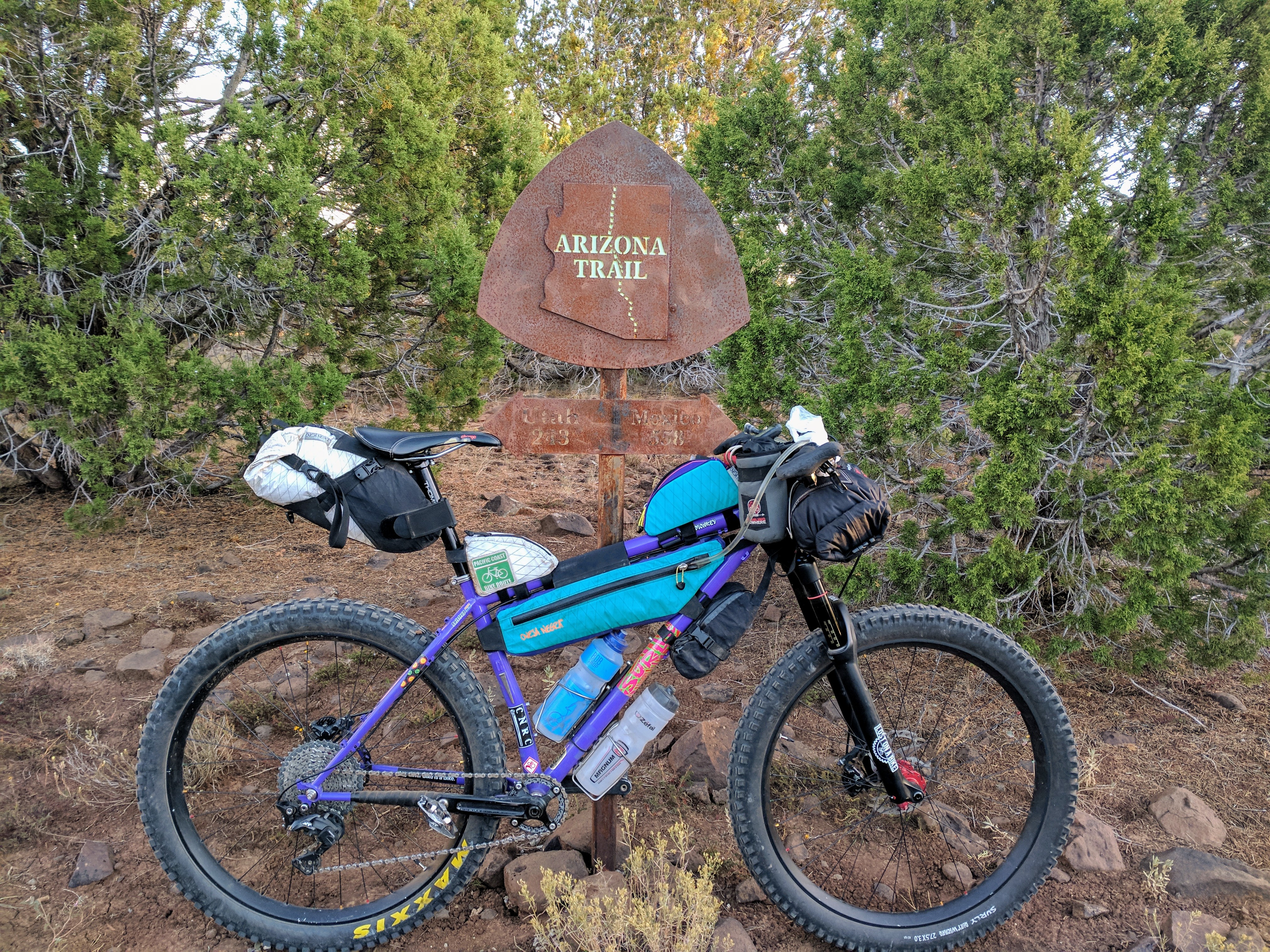
After missing last years race due to injury, I was itching to get back on this route in 2017. My wife and I scored backcountry passes in the Grand Canyon for the same weekend as the race this year, so I decided to tackle the route a little early. My hands were shaking the whole drive to Flagstaff. Even though I had completed the route before, and ridden most of it several times, I couldn’t help but be anxious about the task ahead. I had gone over every detail in my head time and time again, double checked, packed and repacked, this has to be my best planned ride so far. But still, rolling around in my mind was the climb up Mingus after riding 90 miles to get there. Not to mention the whole next day’s worth of riding.
Sarah dropped me off at REI on Thursday. I passed some time riding around near the start, looking for a place to bivvy for the night. I found a perfect spot and went back to the shopping center to grab dinner. The pasta, sauteed veggies, and feta cheese were fantastic. After dinner, I packed my cookies and fig bars into plastic bags and waited for it to get dark. I hobo camped under some bushes, right at the start of stage one.
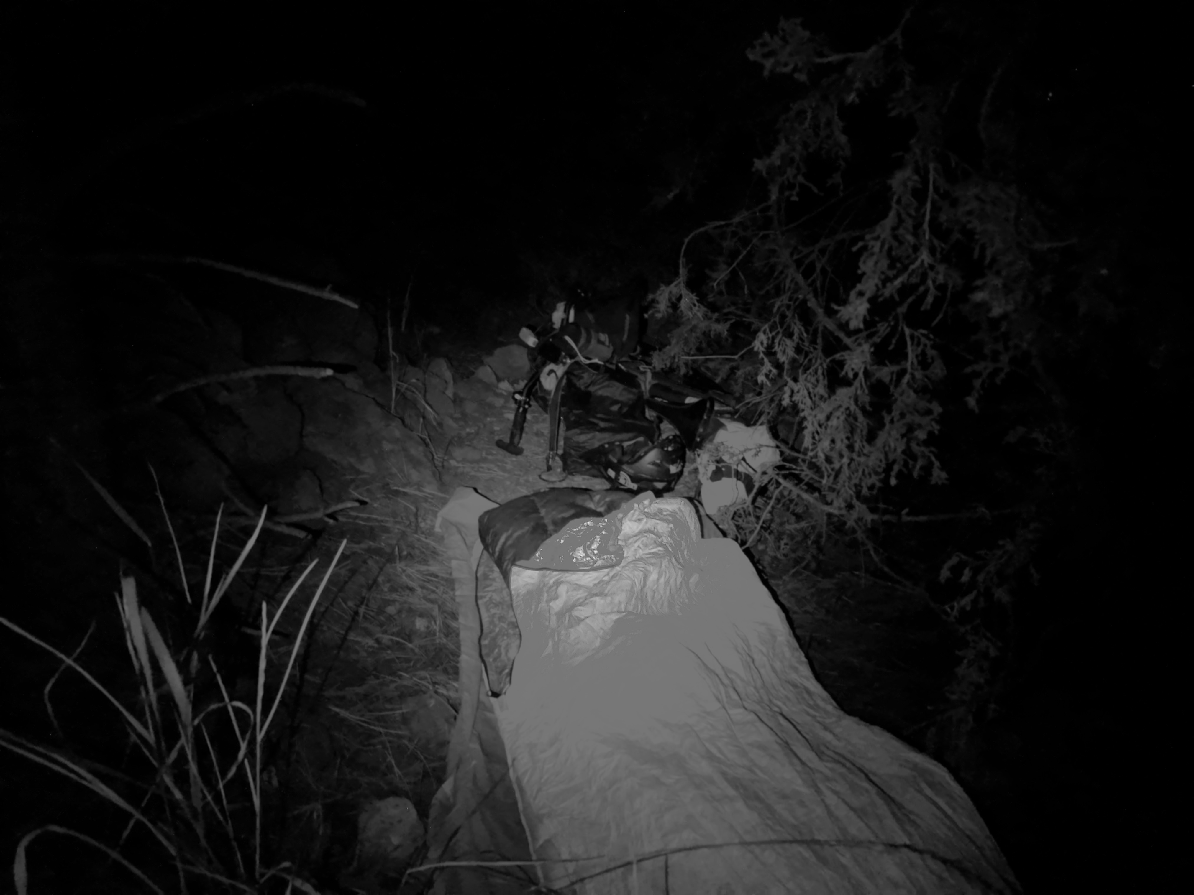
Sleep came quick but some rustling in the leaves woke me in the middle of the night, I popped my head up and a skunk was 6 feet away and closing in. I tried to squeeze my eyes nose and mouth into themselves in anticipation of getting sprayed in the face with stink. When I opened them a few seconds later, the skunk was turned and running away. 3 am alarm, I popped out of my bivvy like a kid on Christmas morning. There was a picnic table in the park right next to camp, I sat under the streetlight and ate my granola and coffee breakfast. 3:50, I was ready and waiting at the start.
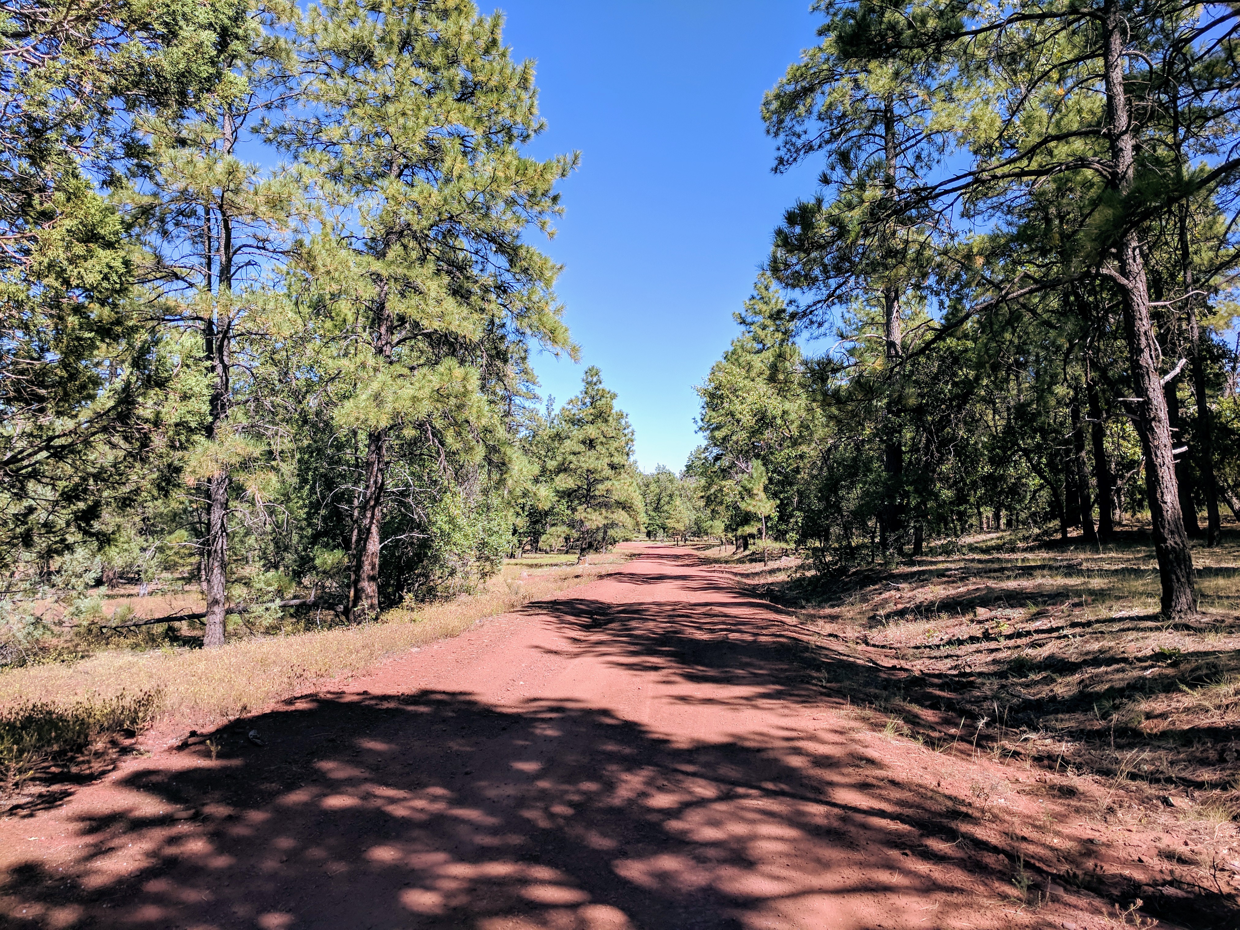
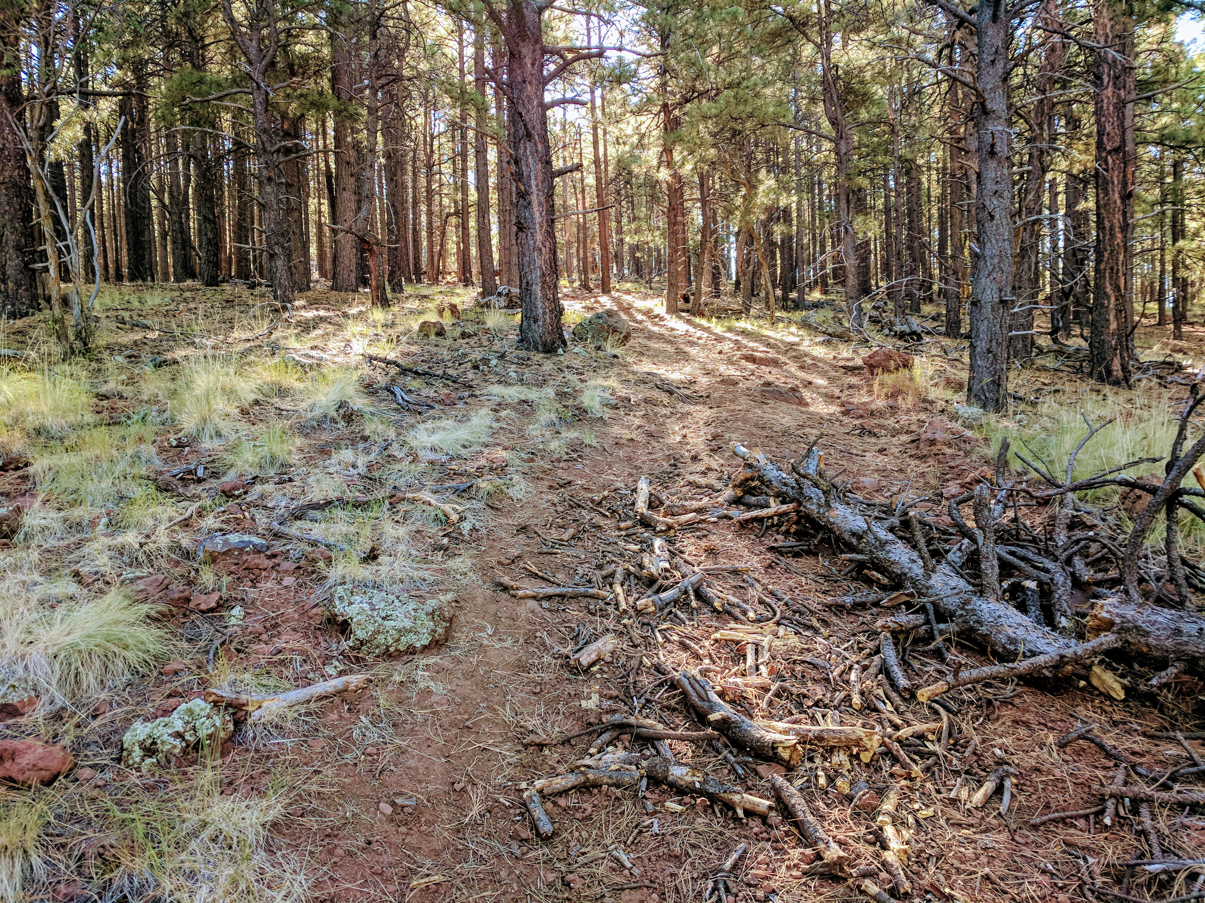
4 am, I was off. The first section of the route follows the Arizona Trail South out of town. The section closest to town is all wide gravel bike path leading to some pretty easy trail sections. There were a couple steepish climbs that would be no problem on a shorter ride, but I wasn’t going to overdo it first thing in the morning. Let the hike-a-bike begin. For the most part, the trails were fun and flowy, but it was dark so I wasn’t going quite as fast I would have in the daylight. Sunrise came just as I started on Anderson Mesa.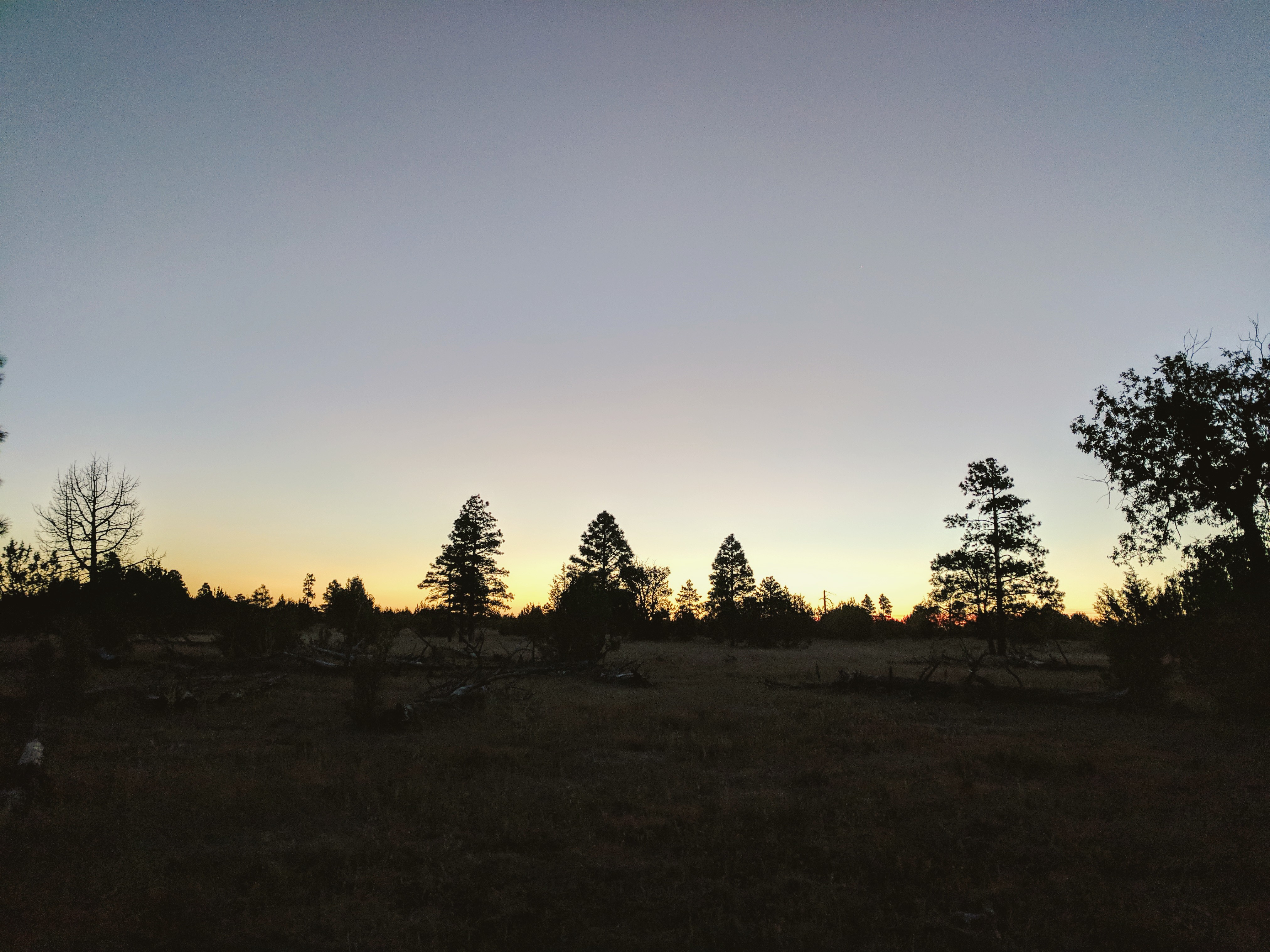
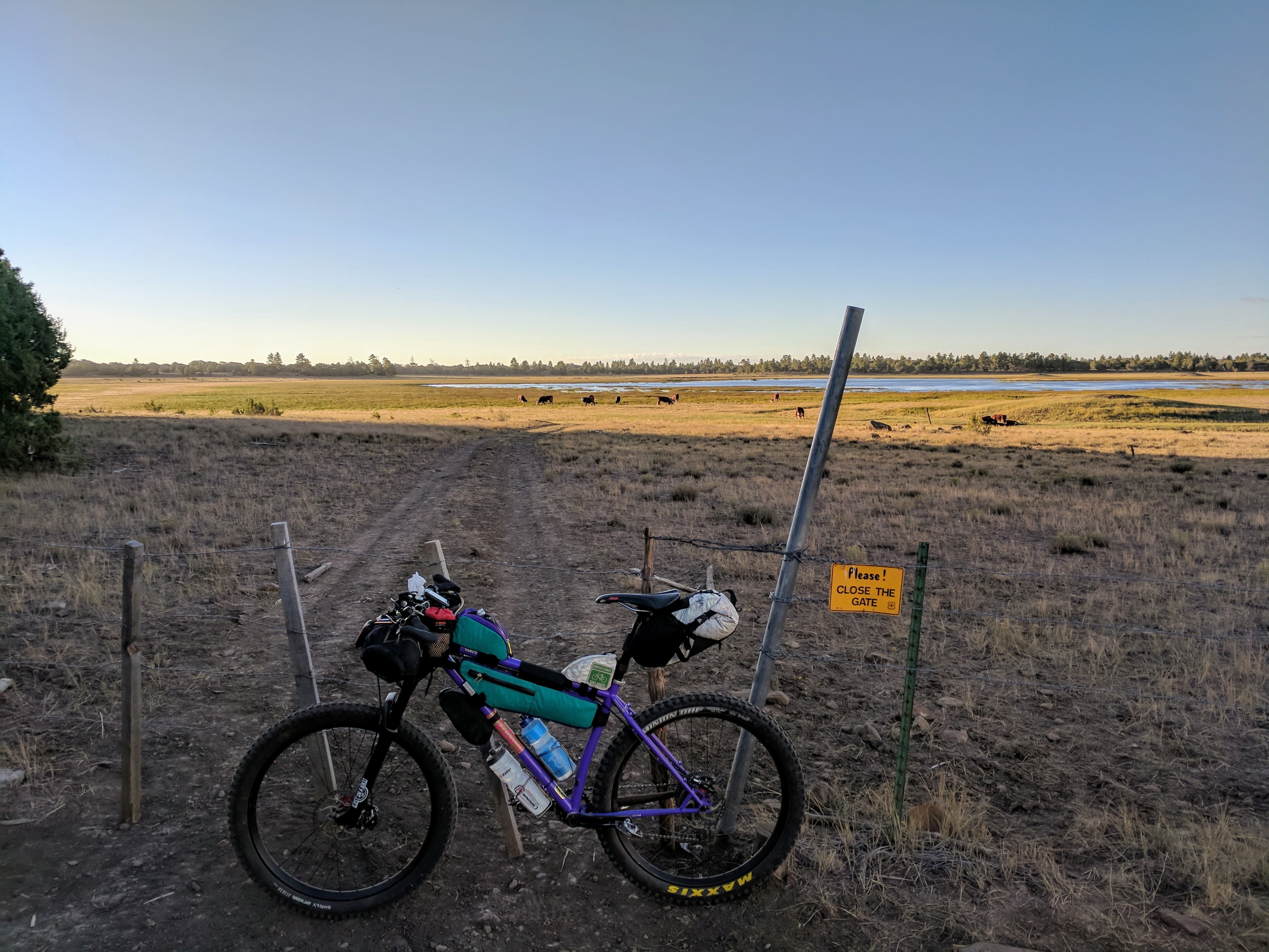
The trail on the Mesa is red clay with baby head and basketball sized lava rock embedded throughout. It is pretty slow going for this reason. It was on the Mesa where I saw two groups of five or more elk, no bulls in sight. As the sun rose, the clouds began rolling in and the wind picked up every time I was in the clear. When I arrived at the clearing overlooking Lake Mary, the clouds had me a tad bit concerned. On one hand, they were keeping me cool, on the other, they looked like they could start raining any second.
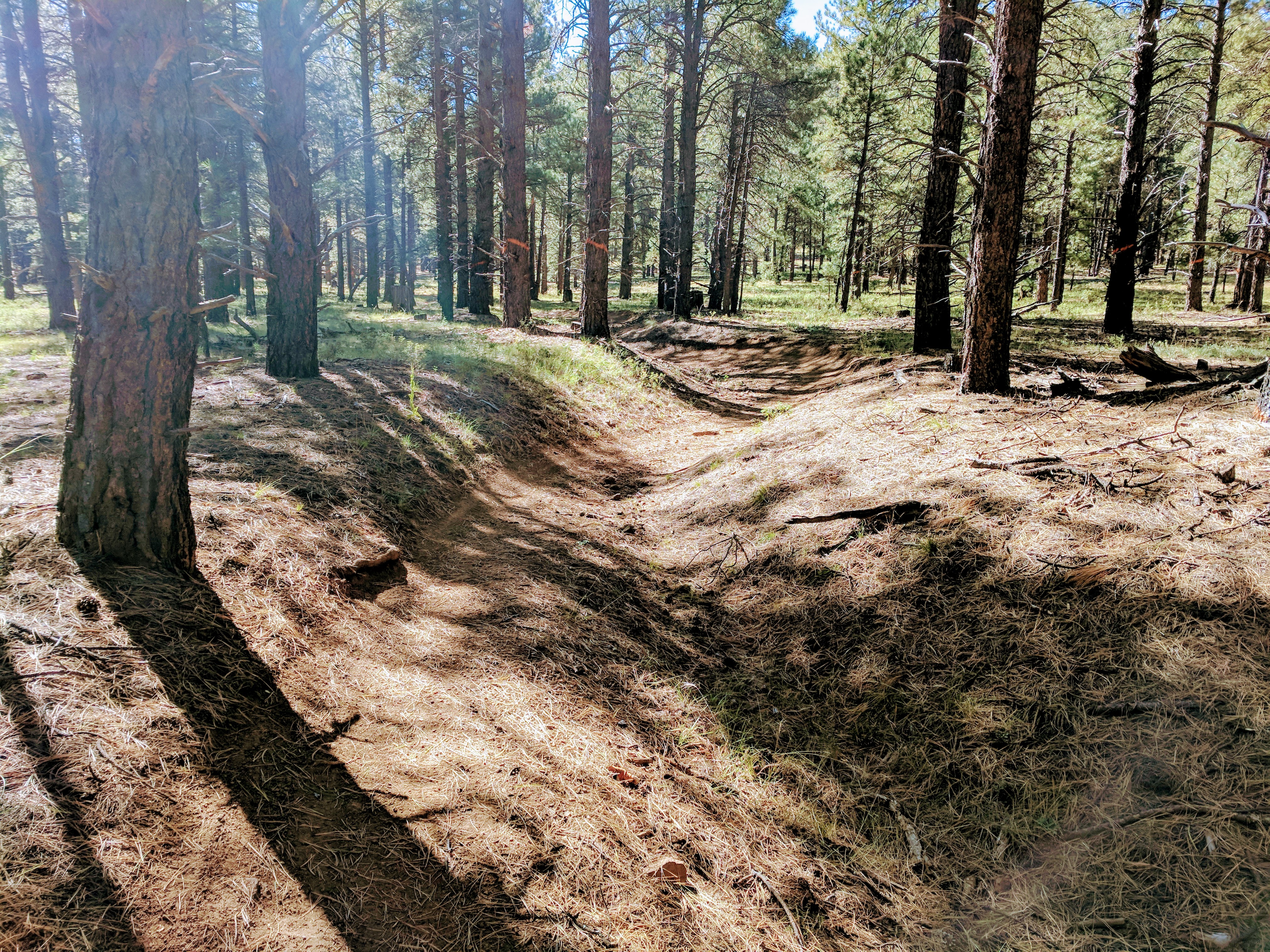
Sarah and I had just been backpacking on this section and both of us could feel it in our feet and ankles the next day. So many rocks everywhere, just slow. Still, on the Arizona Trail, the path switches back and forth from single track to double track, then a gravel section.
And it never fails, anytime you get any sort of momentum going, there’s a gate. Some gates are an easy handle, some have chains, some have a wire that’s just barely short and it takes all your body weight leaning into it to open and resecure it.
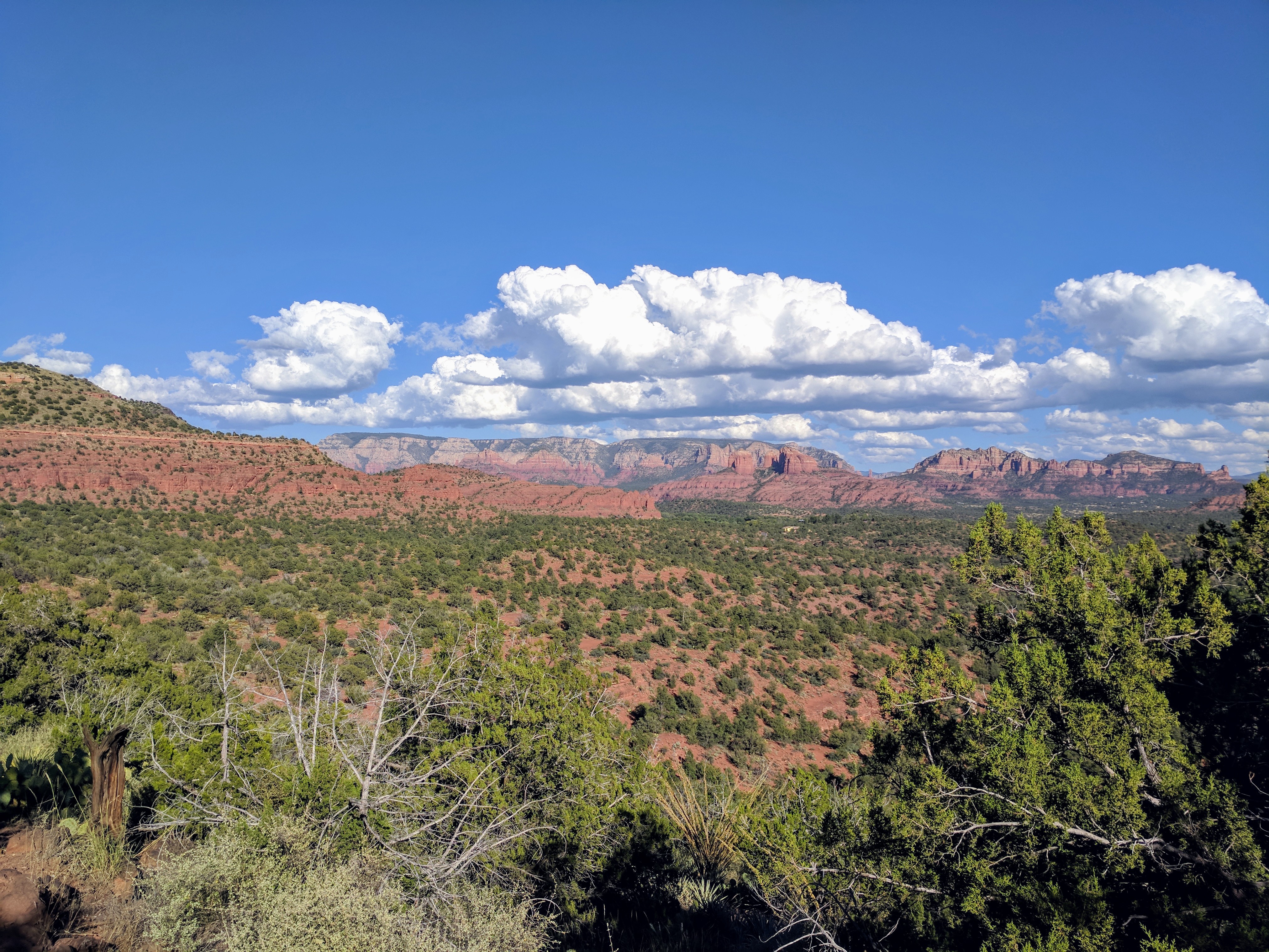
After descending from the mesa, the Arizona Trail follows an abandoned logging railroad grade. This portion is fairly decent, and a fun end to the Arizona trail section. After skirting around Mormon Lake, the route heads West on Forest Service Roads zig-zagging towards Sedona.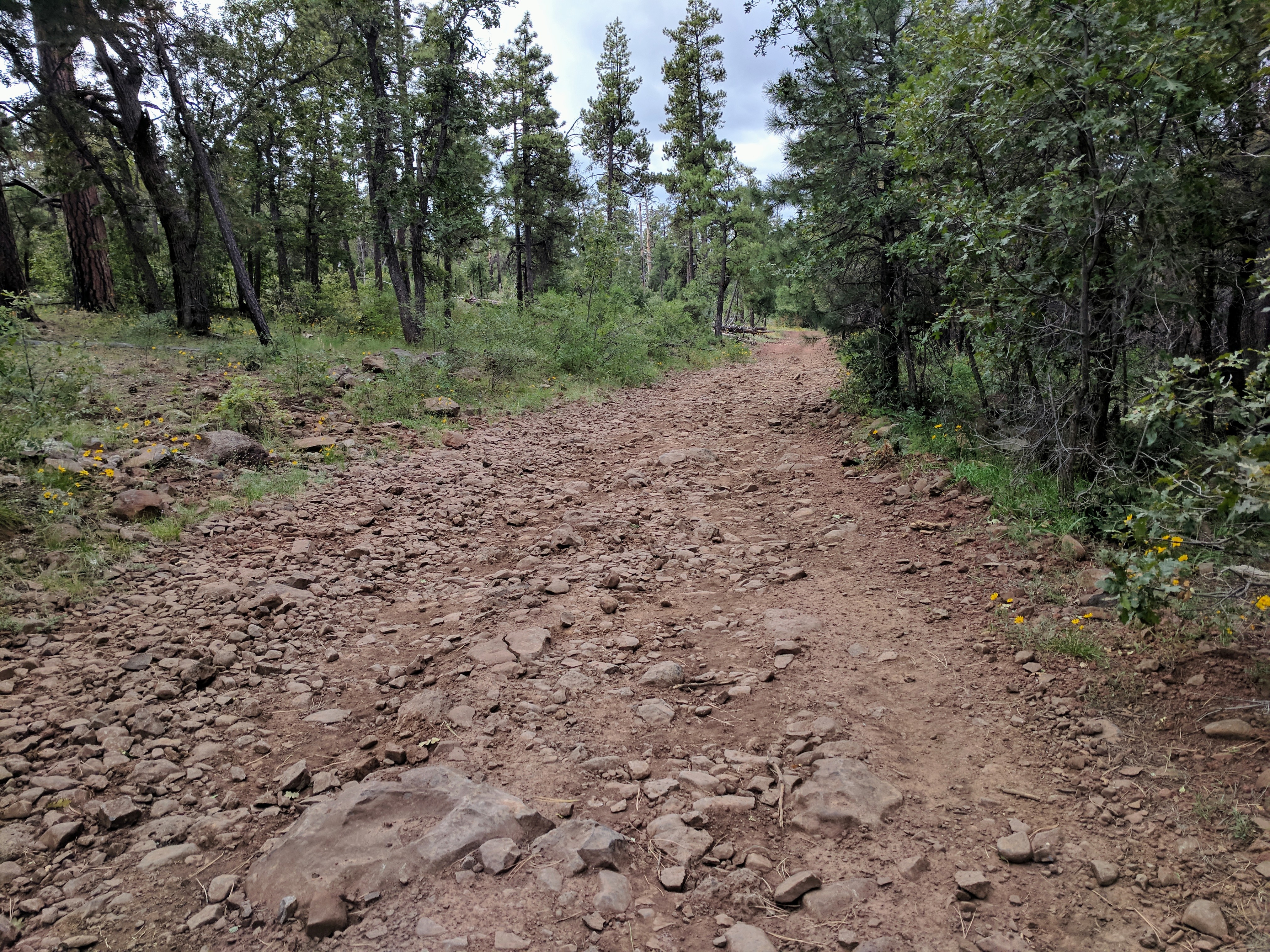
It began to sprinkle just as I reached i17 and crossed onto Schnebly Hill Road. Only a few little climbs then the descent into Sedona. The weather kept its ominous look the whole way down. 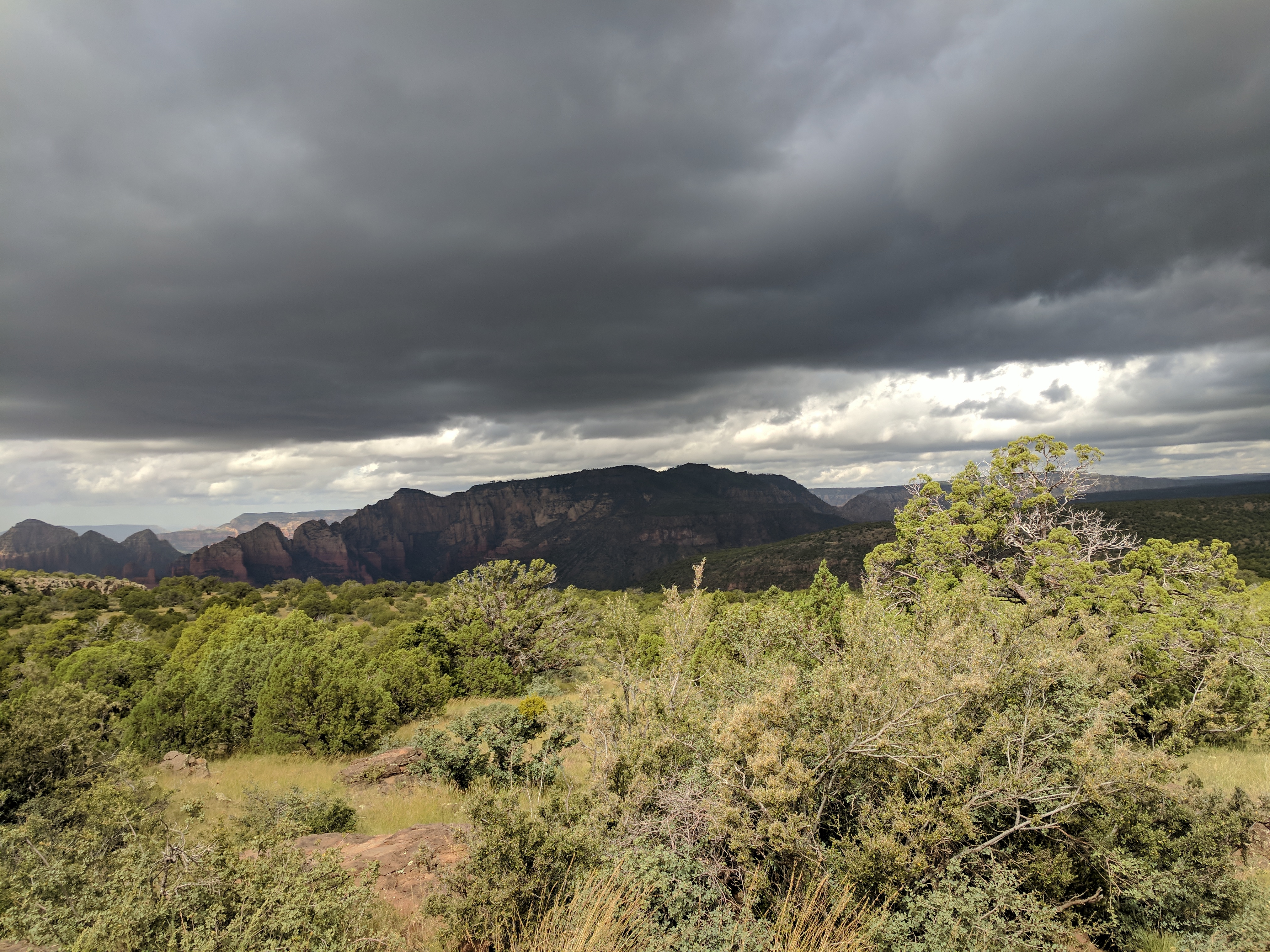
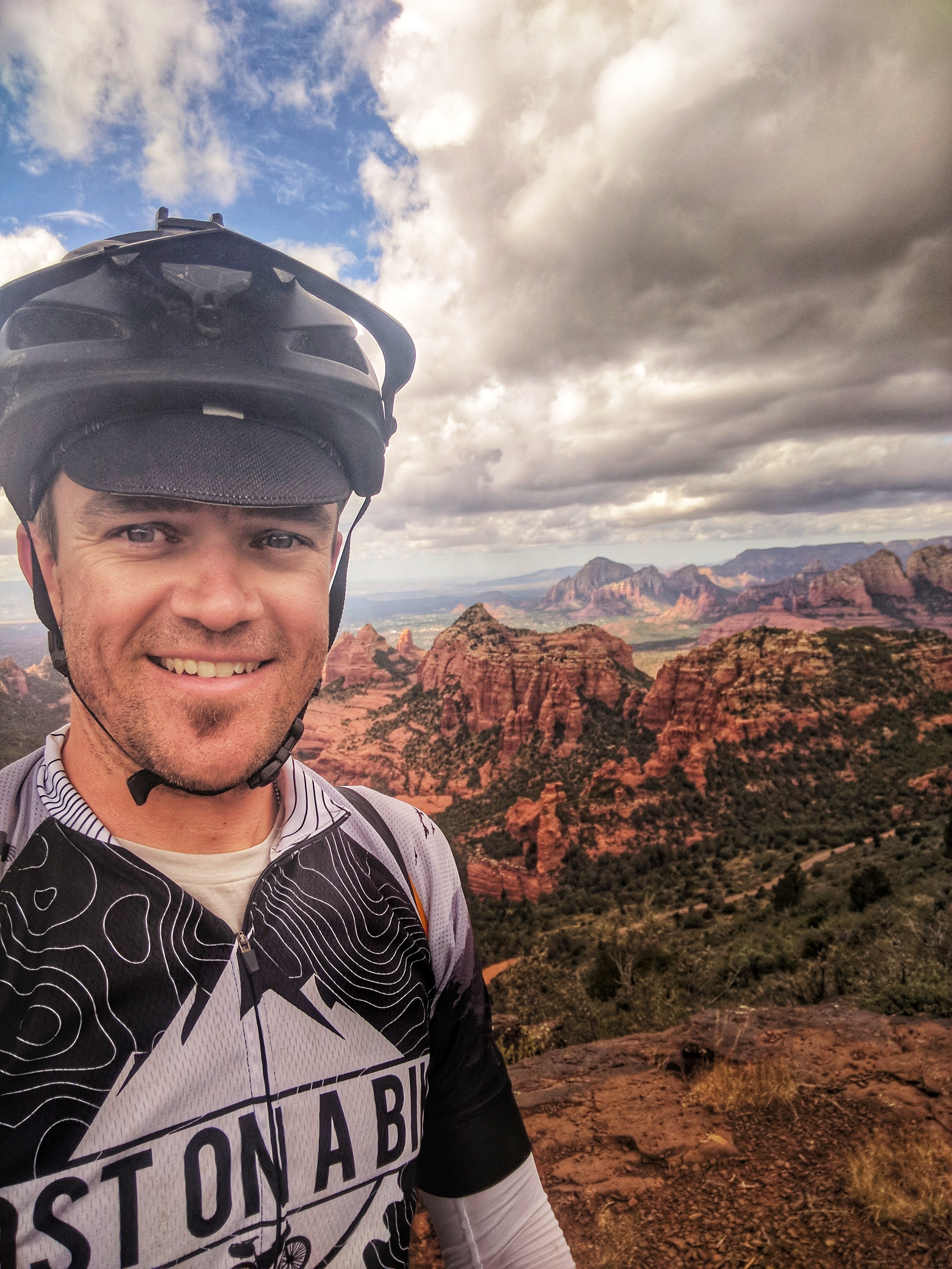
By the time I made it to the traditional end of day one, the sun had started to break up the clouds and the temps slowly started to rise. I love coming into Sedona from this direction. One moment, you’re riding in pine trees, the next you’re getting punched in the face with awesome views. My stomach was rumbling after only eating cookies and fig bars all morning. Time to drop into town.
.
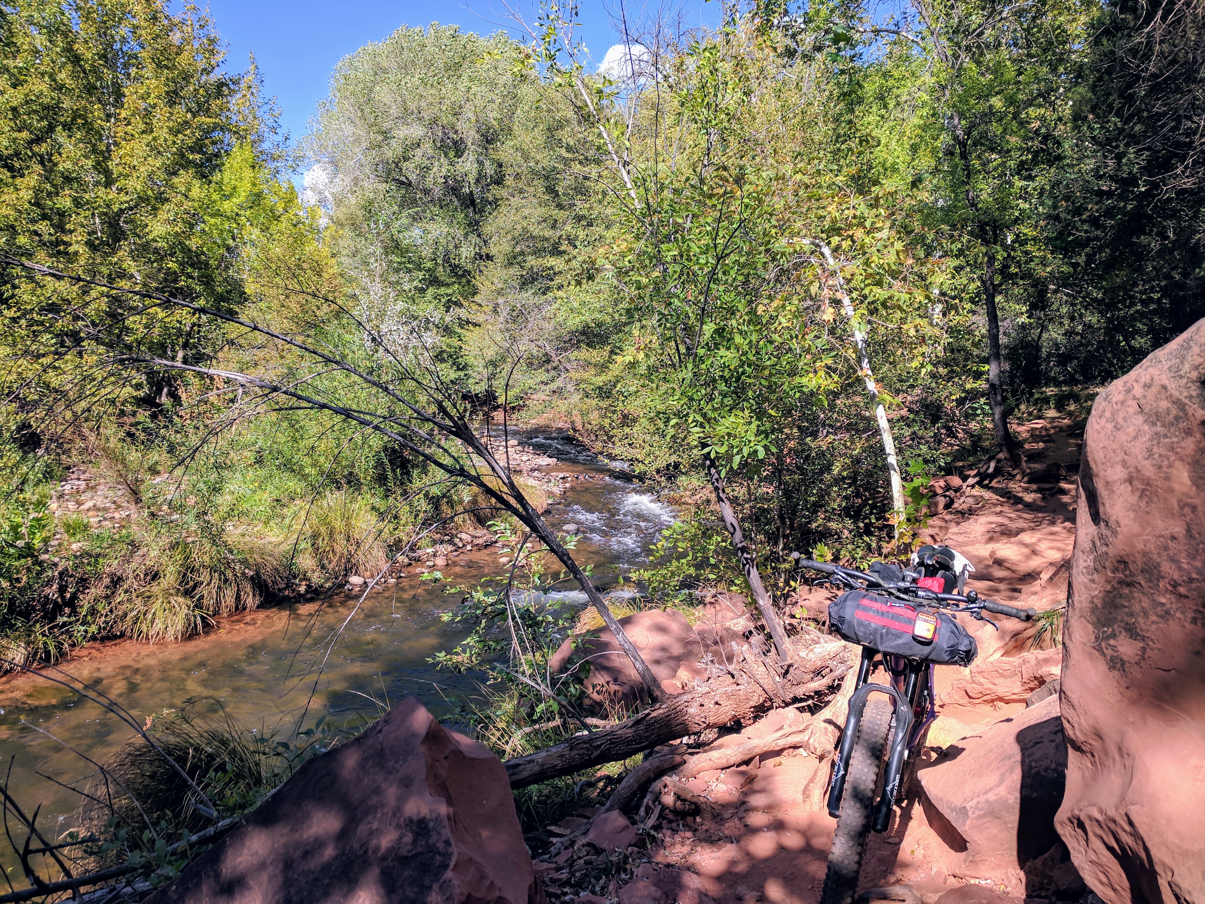
The first section of trail after camp is completely overgrown and full of Cat-Claw that rips at both arms as you force your way through. Shortly after that, the trail is almost completely washed off the side of the mountain. If you are riding this in the race, use extreme caution riding in the wee hours of the morning. The descent down Chuckwagon was rough as usual, with the expected hike-a-bike through the creek crossings. When I hit the pavement, it was 12:00 and Chipotle was only 5 minutes off route, time for a burrito. I refilled my water there and I had plenty of snacks to get me through to Cottonwood. I only carried 2 bottles out of Sedona, since you can refill at the Red Rock State Park and I didn’t want to carry any more weight than I had to. Broken Arrow Trail has a minor reroute to it that is not reflected in the race route GPX file, I did have to backtrack a little bit to get back on course. As I tried to make it up one of the last few climbs on the way to Chicken Point, my front wheel bounced off a rock and I had my only spill of the entire ride. I tore a hole in the elbow of my sun sleeve, but that was the only harm done.
Sedona is a fun and amazing place to ride. When you add the extra weight of camping gear, wads of food, giant water bottles, and fatigue from the 50-mile trek to get there, your perception is a bit altered. Where I would normally power my way through obstacles and up steep terrain, I was reduced to lifting the bike and hoisting it up the crumbling Slickrock. Every once in a while there is a smooth section and you can enjoy the majestic surroundings. 
Templeton drops down to Buddha Beach where you lug your bike over more giant rocks. At least it’s in the shade near the creek.
There was more hike-a-bike on the way up Baldwin. This trail is best enjoyed in the other direction.
While on Baldwin, I was supposed to be watching for the faintest bit of a trail that follows some power lines, and every time I ride this route, I wander all over looking for it. After circling around a few times, I find the line with my Garmin and head down the right direction towards Red Rock State Park. I rolled through the visitor center around 3:30 and filled only my water bottles again as I knew there was a good steep push out of the park. The Lime Kiln Trail heads over a rocky, steep ridge, with several sections I couldn’t ride on my best day. I turned around to take one last look back at the red.
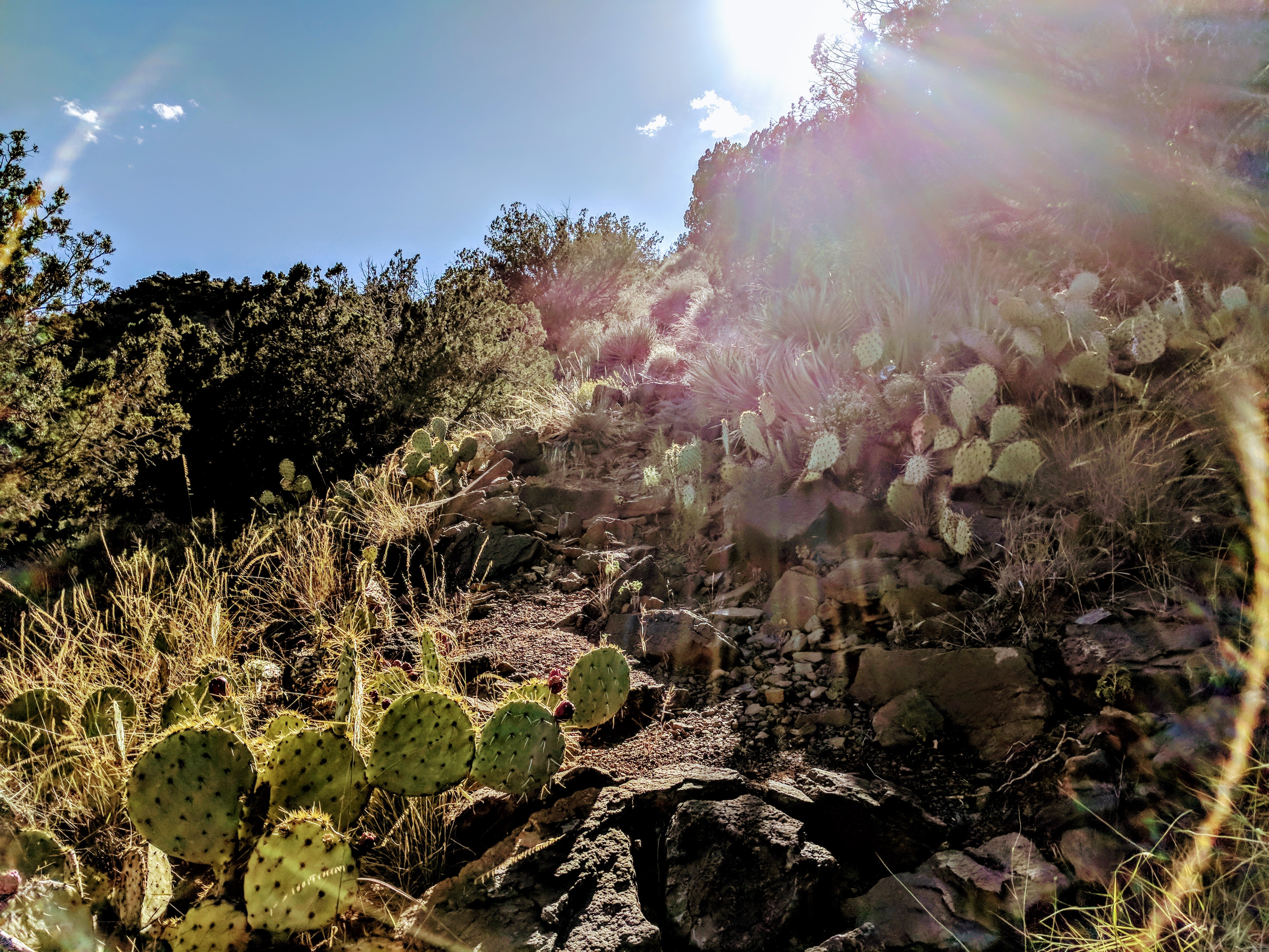
Now time for some hike-a-bike, I think this is the cactus death trap section.
After a quarter mile of pushing the bike, the ride down the other side wasn’t too bad. That connects to a few gravel and sand road sections, then the trail heads under 89a and directly into a quarter mile long section of nasty things to get stuck in your tires and socks. I don’t know that they were making it through my tread, but I am glad I run tubeless tires, there’s no way I could carry enough patches to fix that tube. My socks looked about the same.
The stretch of trail between Sedona and Cottonwood is very difficult to follow. Some parts are on dirt roads, then all of a sudden, the GPS starts beeping to tell me I am off course. But I didn’t see any trail…
The grass is so high, the trail is indistinguishable until you are riding through it. You only know you’re on it because it is smooth when you’re heading the right direction. Shortly after…

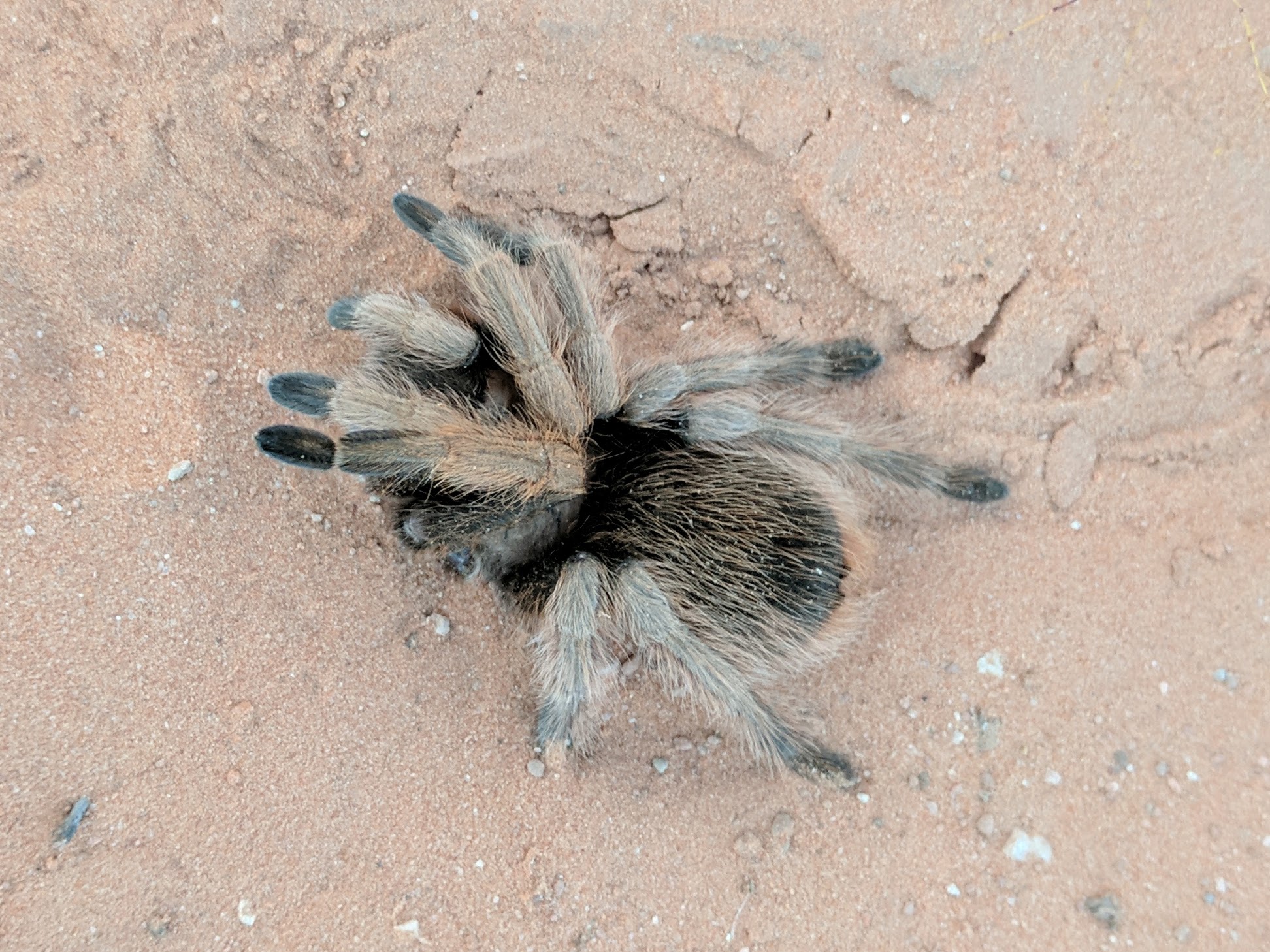
This guy seemed like he was not doing well.
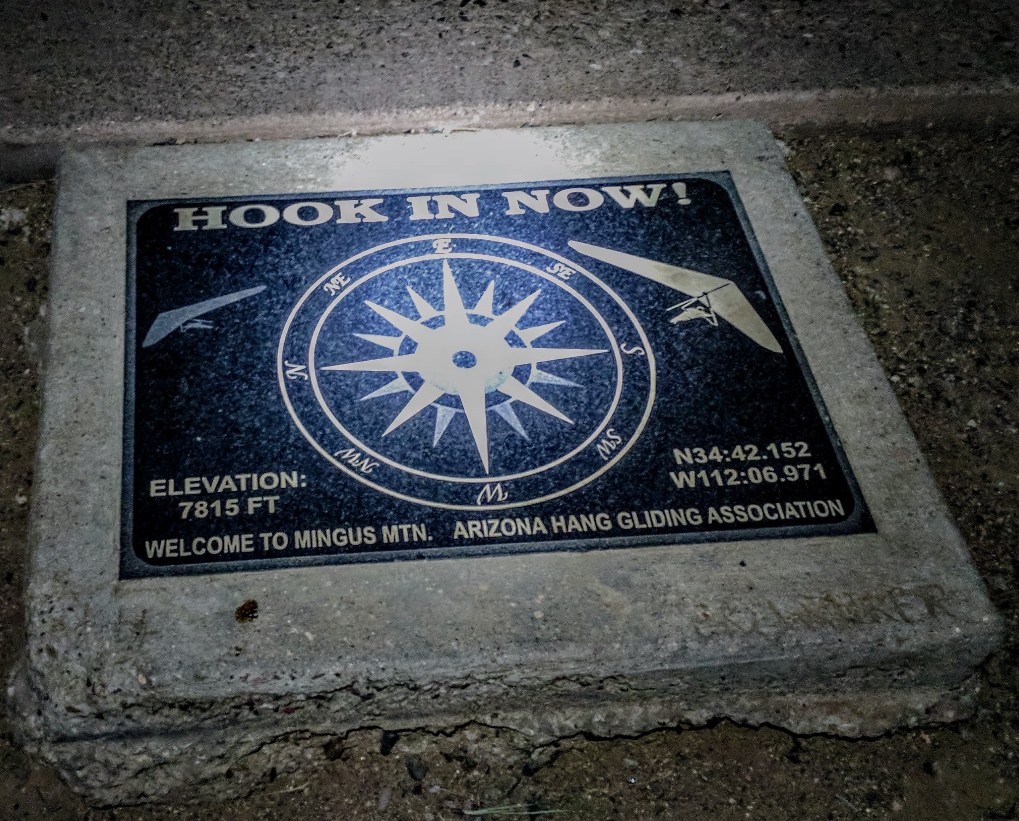
The sun was starting to set, but I was determined to get to Cottonwood in time for dinner at one of my favorite BBQ joints. After dinner, the goal was to push to the top of Mingus Mountain, about 4000′ up from town.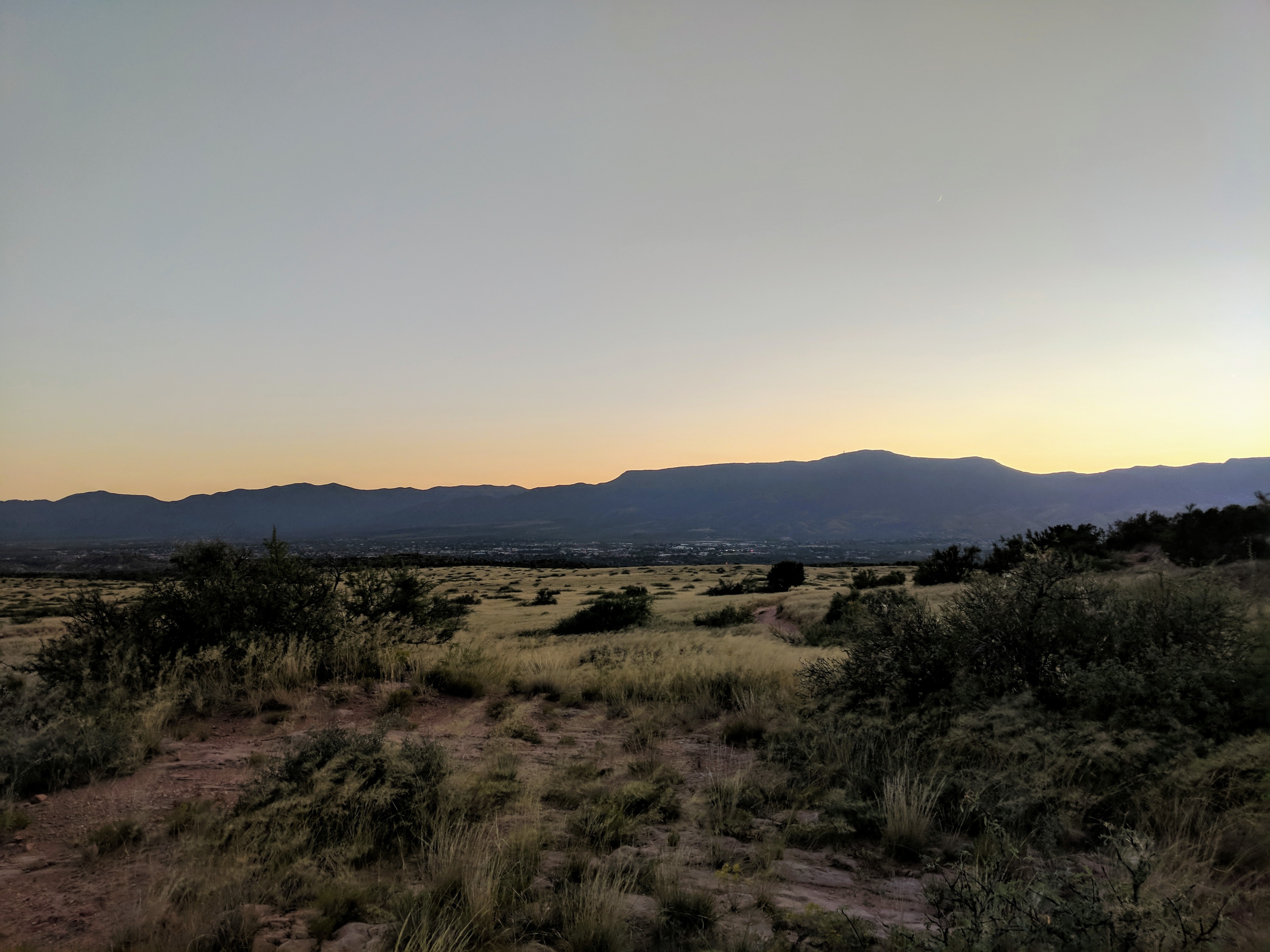
I arrived at Colt Grille just after dark and ordered a double helping of food. I was going to need it if I wanted to top out on Mingus before I camped. The food really hit the spot and was gone in a flash. After finishing up dinner, I went outside and stood next to one of the propane heaters on the patio as I changed from my hot weather to cold weather attire. The people sitting next to me asked where I was headed with all these clothes and equipment. When I told them I was taking the dirt road and trails to the top of Mingus before I slept, their jaws hit the table. They couldn’t believe I was out there alone, there was a little relief when I explained my SPOT tracker. They wished me luck as I headed off to the Maverick Gas Station at the bottom of the climb. As I approached the stoplight something seemed strange, there were no lights on the corner where Maverick should be. As I got closer, I could see the chainlink fence around the parking lot. The whole place was shut down for renovations. I was very disappointed, I had hoped to grab a sandwich, chips, and a Coke for lunch the next day. Tractor Supply Store was still open, surprising since it was after 8. I made some quick food decisions and grabbed some extra water bottles. I paid and asked if I could use their water fountain to refill my bottles and hydration bladder. He pointed me to the back.
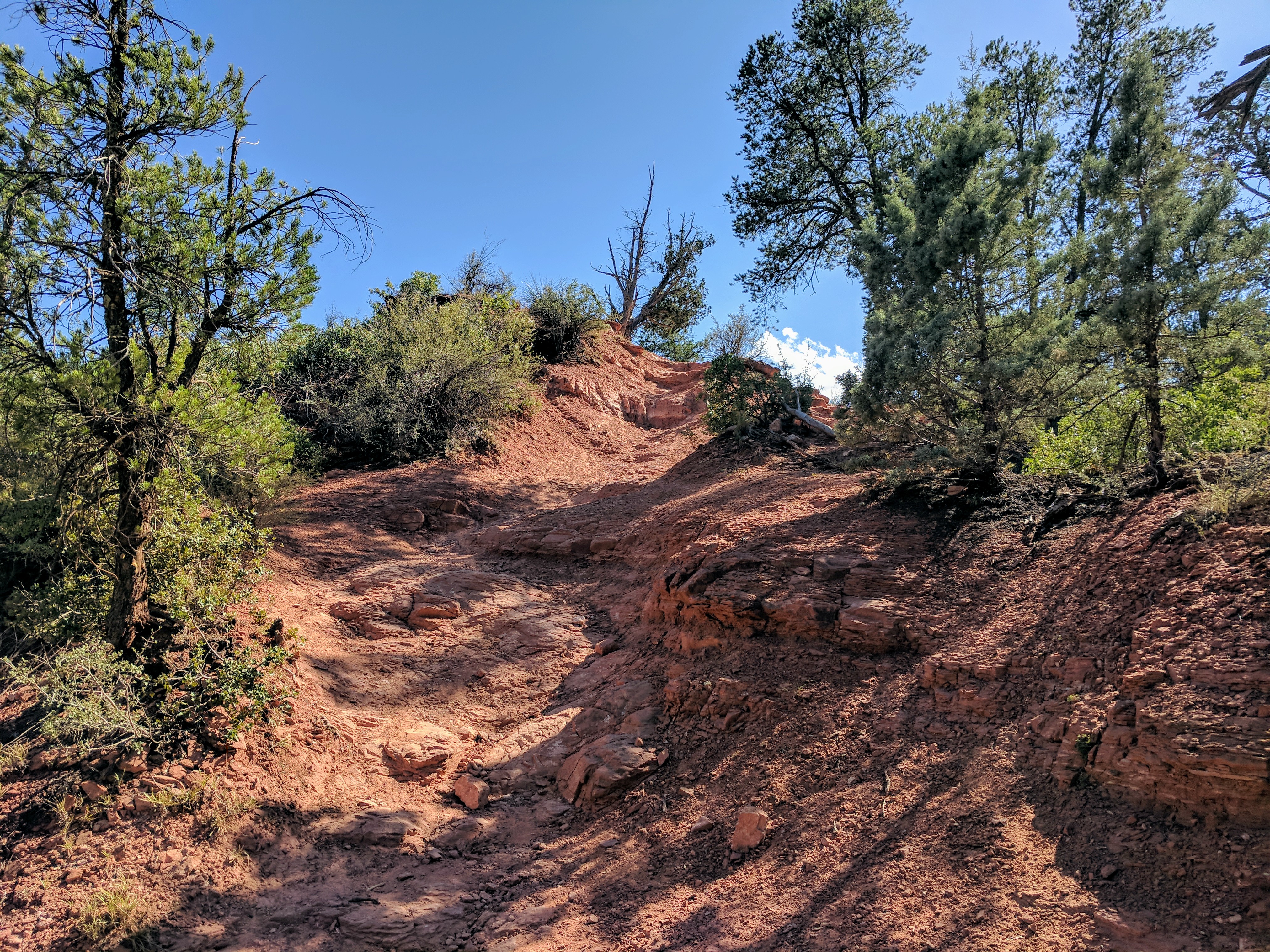
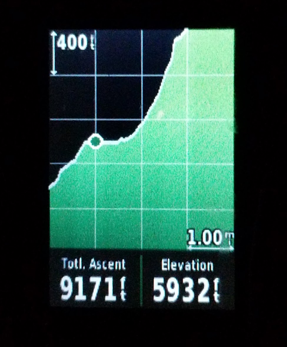
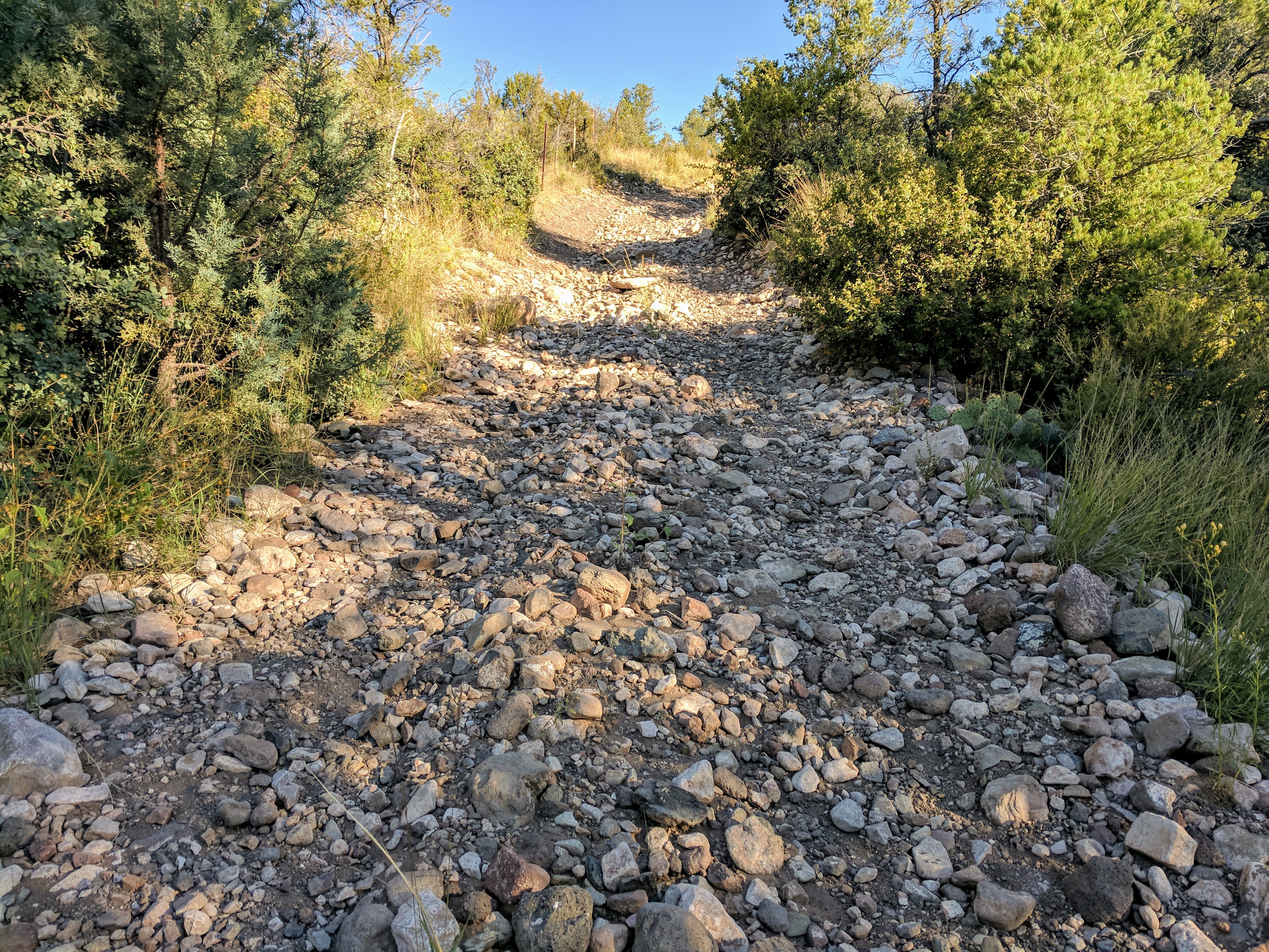
I packed up all my gear and headed up the pavement past the airport. After a short time, the pavement ends, leading to gravel that rises faster and faster as you head up. Eventually, I was forced off the bike, pushing up the loose sections. About halfway up there is a short, very slight downhill break, then the real hike-a-bike begins. It was 10 pm when I hit the singletrack, it was midnight when I hit the top. Two hours to go two miles, 1600′ of elevation gain. Many times I was pushing the bike almost straight up, hold the brakes, take two steps, push the bike straight up, hold the brakes, and repeat over and over. Almost to the very top, the trail becomes very overgrown with weeds and other high desert pointy things.
Even after the worst of the hoist-a-bike is over, there is another section with the embedded lava rock to dodge and bounce off of. I was so happy when it was over.
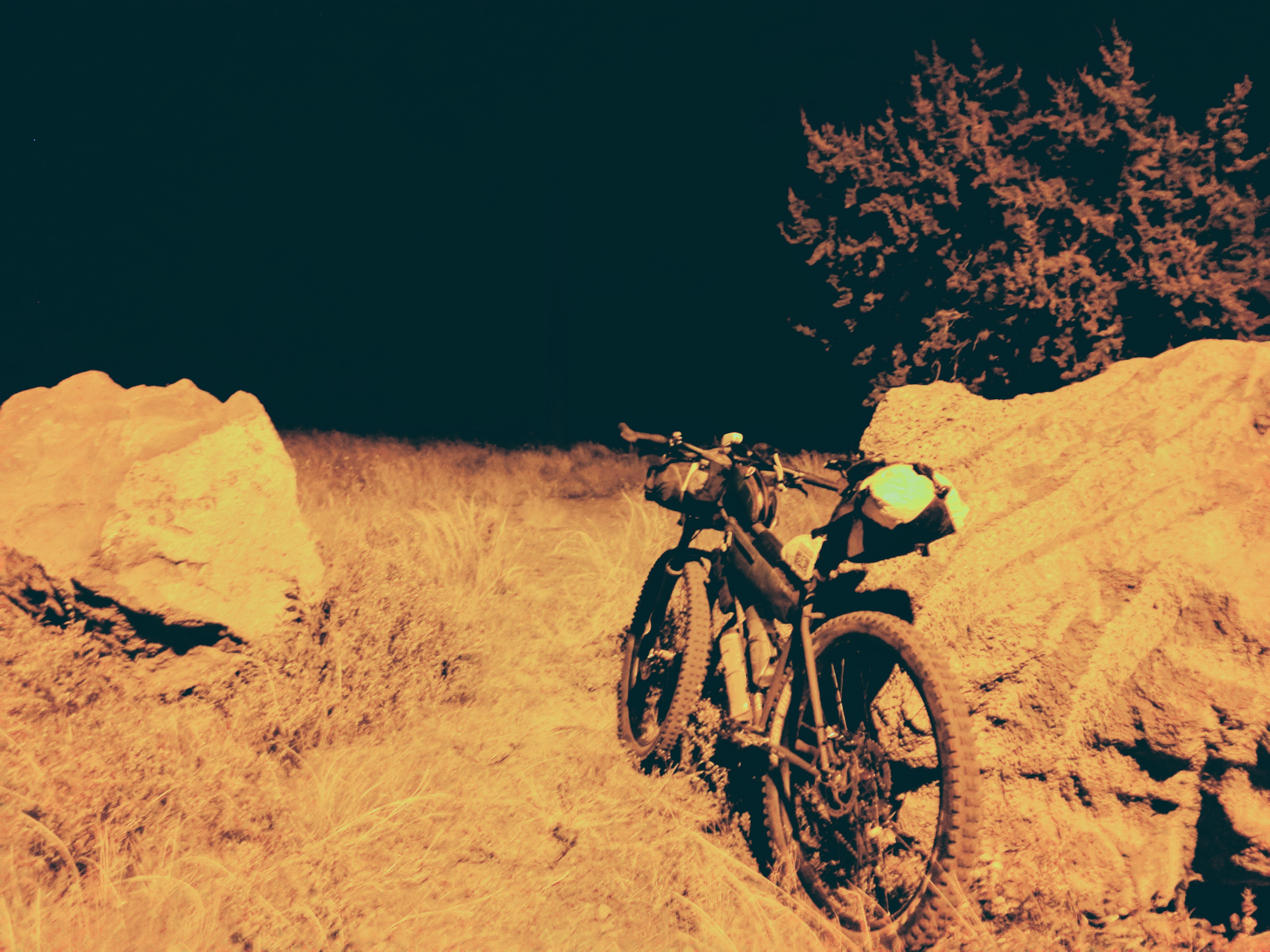
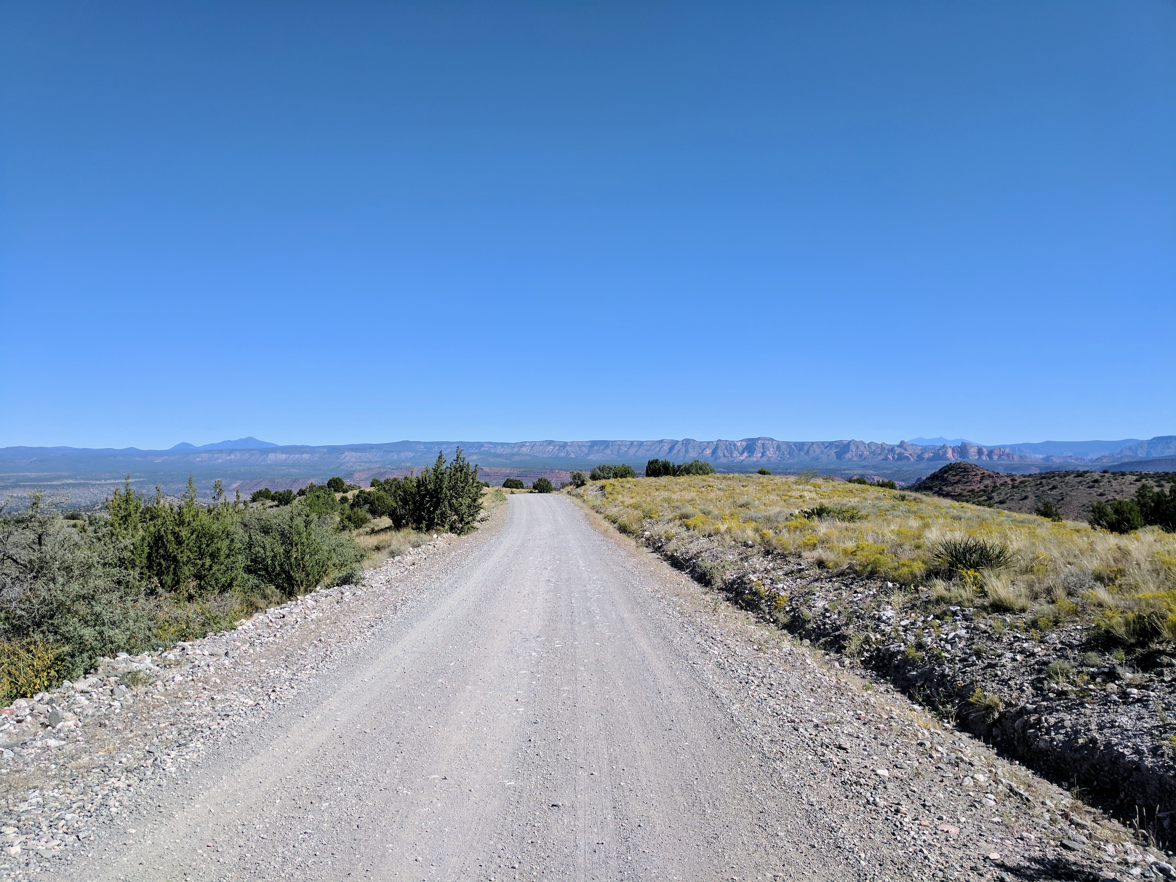
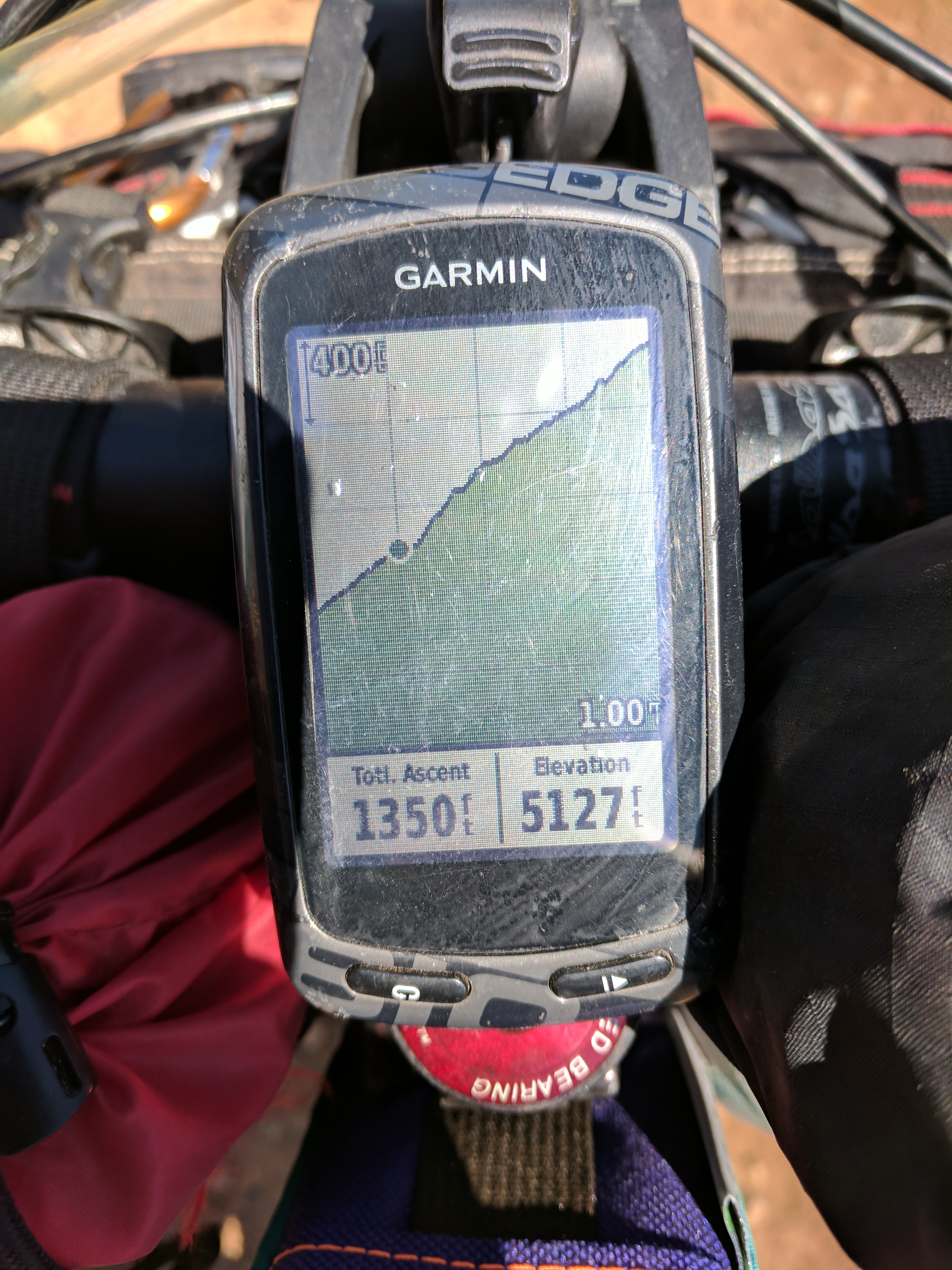
Now for some high-speed downhill on good gravel for a change, but first it was time to bundle up, the thermometer on my GPS said 38 degrees. I put on my rain pants, down jacket, rain jacket, covered my face and ears, and pulled on my winter gloves. Riding the trails down Mingus after midnight was the best reward at the end of a dirty century. I made camp just before crossing 89a. It was 3:30 when I hit the ground, 111 miles from where I started.
I woke up at 6 am with my food bag right next to my head. I scarfed down some granola and caramel corn while I stuffed my gear into the handlebar bag. Just as I rolled out of camp, I saw someone on the trail ahead of me. It was Chris Peckham, he came out just to say hi. It seems he always finds me when I’m on this route. After crossing 89a, I rolled along the same powerline road that was covered with death mud when I rode it a few months earlier. The dry conditions and my 3″ wide tires made pretty quick work of most parts of the loose gravel. 
Never fails though, eventually, it just got too steep to ride, it was time to get some short hike-a-bike sections in.
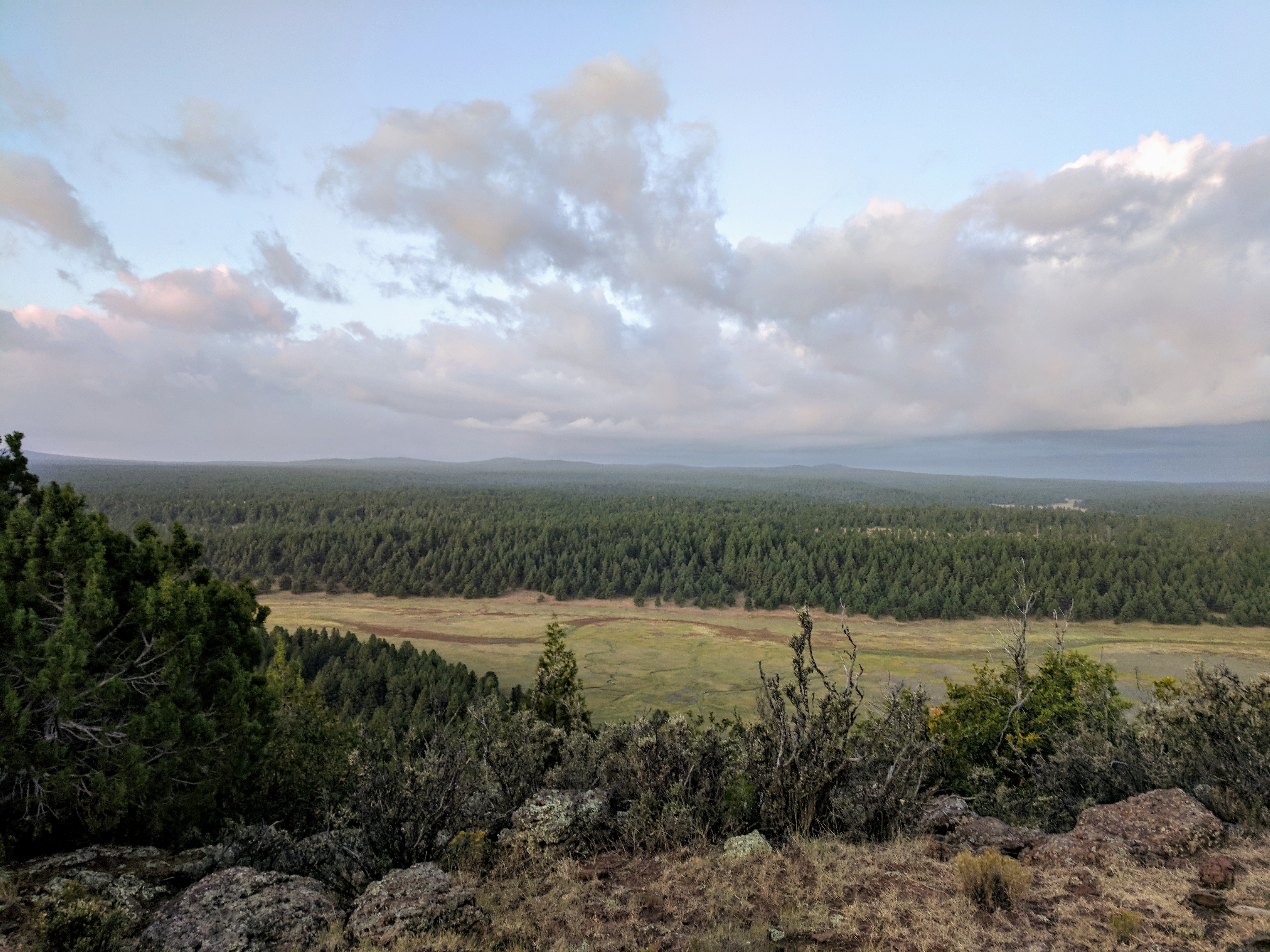
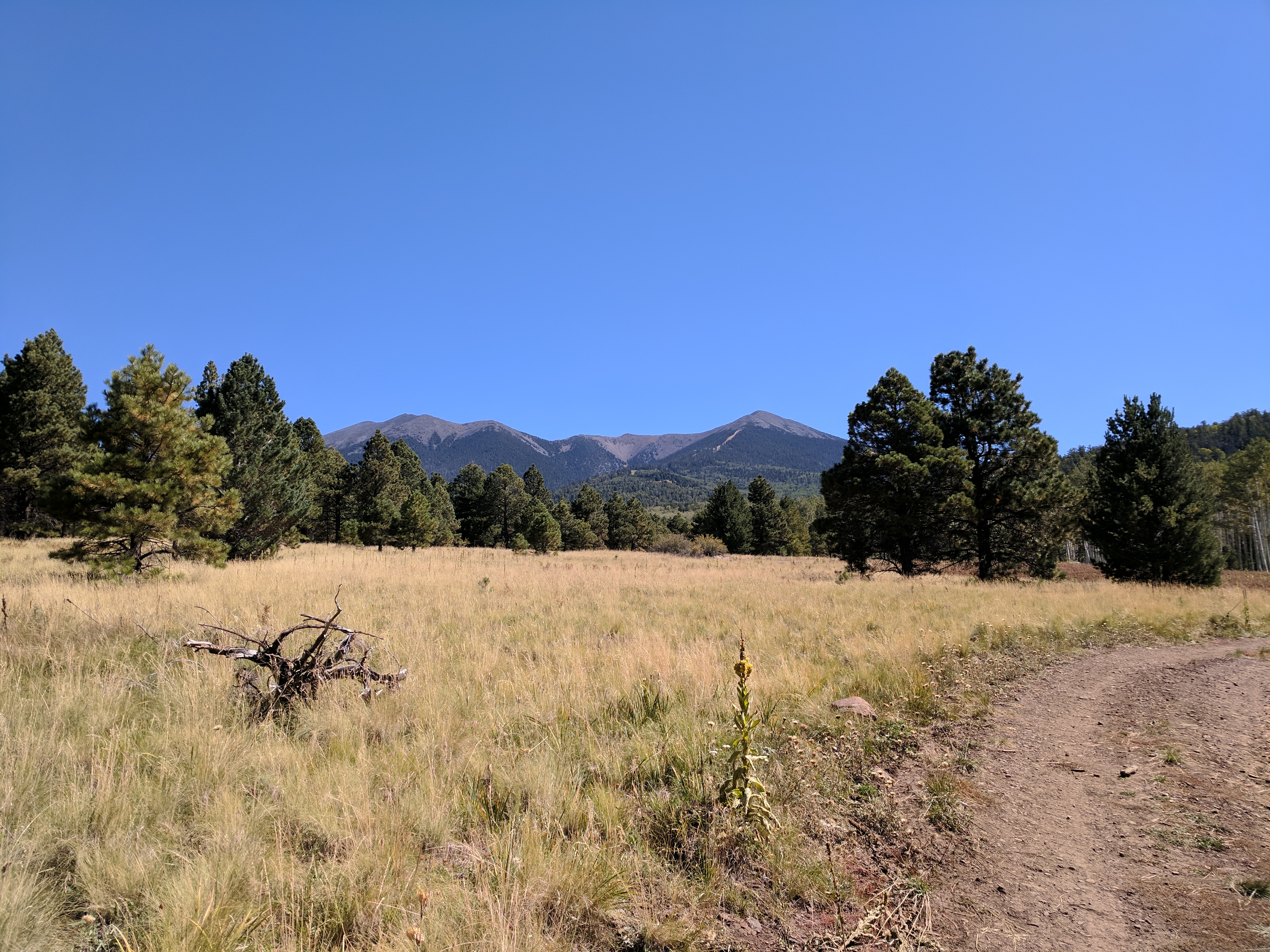
After the substation, there was a familiar 4-mile section over to Perkinsville Road that I have ridden more times than I can remember. That went by fast, and the descent to the Verde River went by even faster. I had to pause to reflect on what lies ahead. Far off on the left is Bill Williams Mountain. I had to climb to the top of that, and before I would sleep, I’d make it halfway to the San Fransisco Peaks on the right. I still had to drop down a good bit to the Verde River.
When I hit the river, my GPS crashed and I lost all the data from the start of the day. The way out of the river seems like a never-ending trudge, the miles tick off slowly, there are few breaks in climbing and very few trees large enough to provide any shade. The thermometer read 91 degrees at its highest.
I was sweating pretty good, and I didn’t have enough water to over-do it. It was about this time that the poor food decisions I had made in Cottonwood were starting to catch up to me. I should have packed a little more water, and had I known I really should have packed some better food in old town before riding to Maverick. Too late for that now, so I did the best with what I did have. I stripped down to my bibs and base layer t-shirt to stay as cool as possible. I ate bites of food and sipped on water all day to space them out together. The higher I climbed, the cooler it got. Pine Flat is one of my favorite spots, it signals the end of the really rough roads and the presence of taller trees for shade.
The climbing didn’t stop there, but the nice roads are much easier. When I got back to the Perkinsville Road pavement, I had to put my clothes back on, the wind was so harsh I had goosebumps all over my arms. One big climb up the mountain ahead.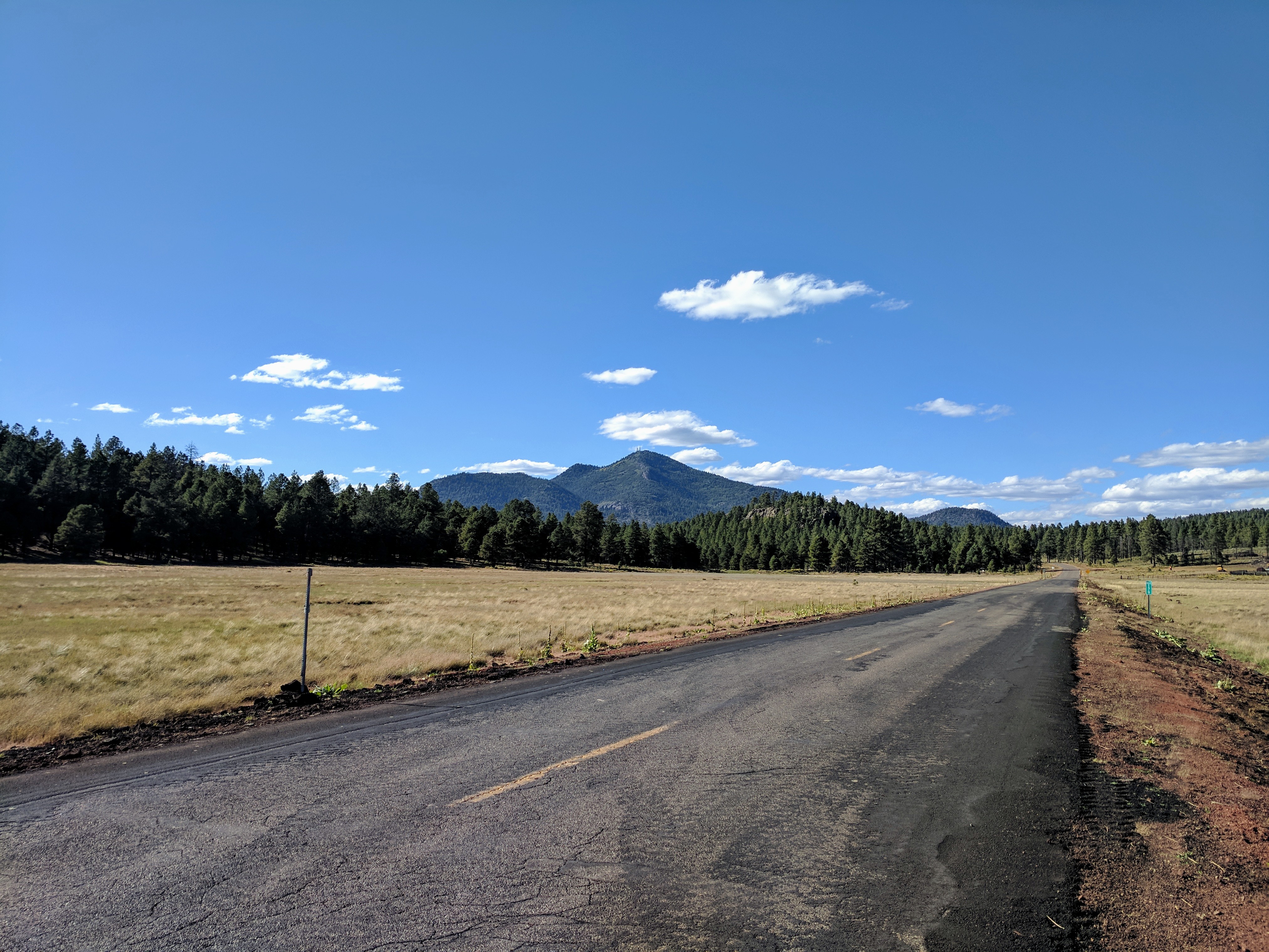
Benham Trail heads up the East side of Bill Williams Mountain, almost 1600′ in 4 1/2 miles. I have ridden up most of it, fresh first thing in the morning, but I was far from fresh at this point and pushed the bike up plenty. The trail down the other side is even steeper and covered in downed trees, the whole way down was off and on, over and over. I made it to the bottom after needing my lights for the last few miles. I was very hungry after a long day with no real meals, just junk food, and candy bars. Williams was jamming on a Friday night and decided Pizza Factory would be a good bet to get in and out with a full belly, and possibly carry any leftovers. Tonight there were none. I ate the whole pizza and drank Cokes until I had to pee. I put on my arm and leg warmers, and also my down jacket before I left. I stopped at Circle K to refill my water. While I was in line, I was doing the mileage math in my head. If I could make it all the way to Parks, I could camp nearby and grab breakfast in the morning. The next 12 miles from Williams were all smooth gravel roads, much of it was even downhill. I blasted through it and made it to Sycamore Canyon Rim Trail by 11 pm.
Like so many other “flat” sections of trail on this route, the terrain is strewn with more embedded rocks to bounce from and dodge. Hard during the day, even worse at midnight. I took no chances and pushed the bike whenever it was the smart move. The trail has some beautiful views, but it was pitch black and all I could see was the rocky trail in front of me.

It was 1:30 am when I made it to the other end of the rim trail and it was really cold. I looked at my Garmin and it said 19 degrees. I covered up all my exposed skin and climbed my way back up towards Parks. Next time I tried to get a drink of water, everything was frozen. The water bottles, the hose, everything. The GPS needed to charge, so I swapped the cables and realized my phone had stopped charging. My battery pack was dead! There was about 10% left on the GPS and 60% left on my phone. I sat on the bench at the Parks General Store at 3 am downloading a GPS app and the Coconino 250 GPX file so I’d have a backup. I rode about a mile up the road to a spot where all the trees had a nice soft blanket of pine needles beneath them. I pulled out the bivvy and my sleeping bag, not bothering to get out the inflatable pad. I was already wearing all my clothes so I pulled the down quilt over my head and got a little sleep.
I had kept the battery pack on me all night hoping if I warmed it up, it would start charging again, but I had no such luck. If I kept moving forward, there was a truck stop half a mile off route, maybe they’d have a wall charger. They definitely had a McDonalds I could warm up in and get a high calorie, hot breakfast. I packed up camp in a matter of minutes, jumped on the bike and got moving to stay warm. A few miles later I could see the truck stop calling me. The flat pavement made for a quick detour. I went straight for their electronics aisle and found a wall charger, paid and got the Garmin charging as fast as possible. Next up, order a big breakfast that would hopefully propel me most of the last 30 miles. I tried to eat my sausage biscuits slow, but I was so hungry they were gone before I had enough charge on the GPS. I killed some time by carefully organizing everything in my packs in the most efficient manner. When it hit 35%, I pulled the plug and got back on the road.
The rest of the ride had it’s share of climbing, but mostly by way of pretty good roads.
One final hike-a-bike stretch…
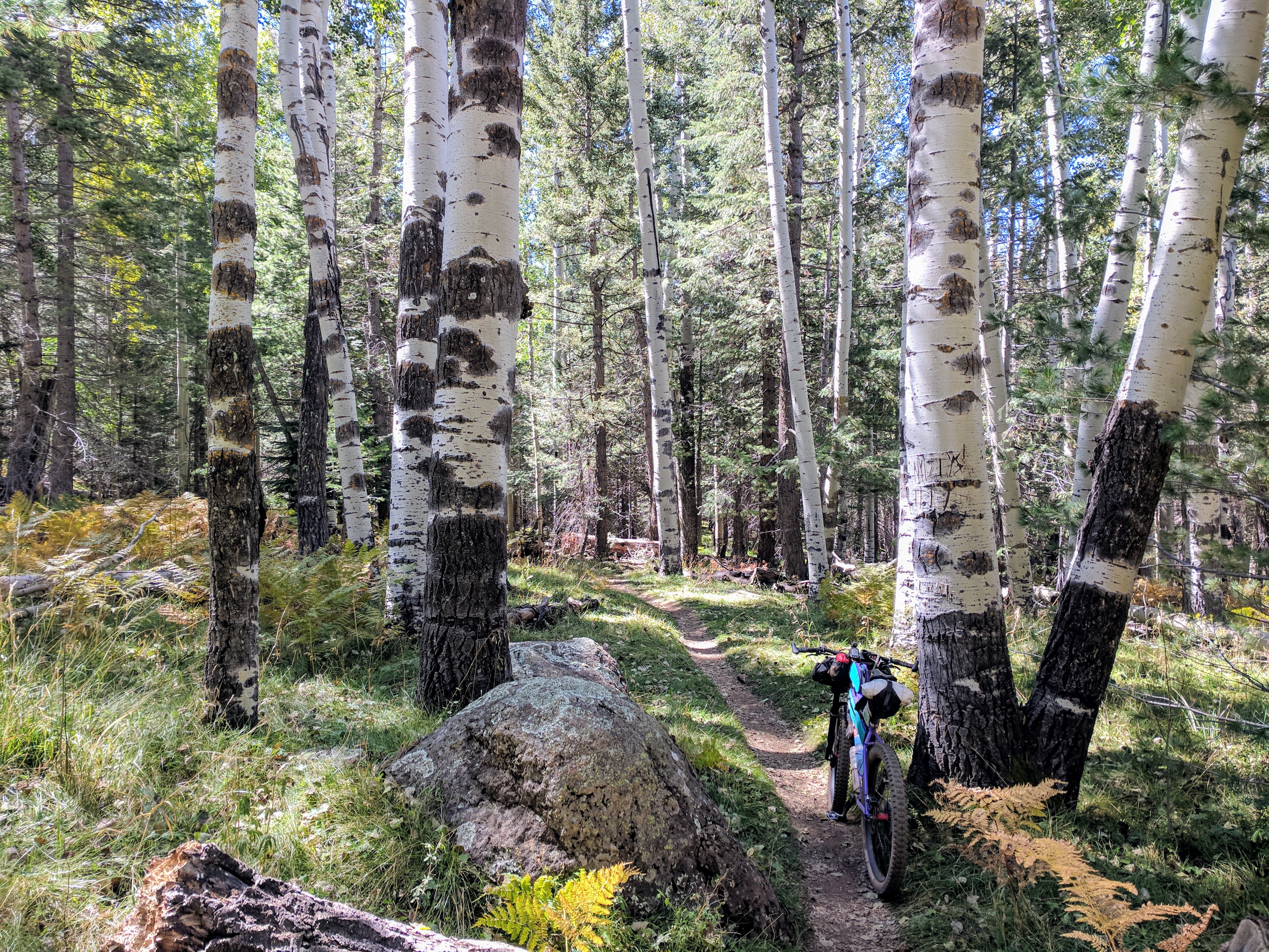
Then, what I like to call the bobsled trail, winding bermed corners through the pines. This was the section I had been waiting for. I have only ridden it while bikepacking and must go back sometime without all the extra gear. It is definitely one of the highlights of the trip.
The last good climb takes you up a good forest road for a few miles, ever closer to the San Francisco Peaks.
Making it to Aspen Corner signifies the end of any real climbing. After all the hard work, the Coconino 250 finishes with a ride down the Arizona Trail, through aspens, pines, rocks, and sand.
I had really hoped to complete the ride in 48 hours, but the terrain proved to be too relentless, and my the food I brought on the second day could have been a lot better. I tried my best to push myself further each day than I ever had before. When I hit the pavement outside Flagstaff, the time on the clock said 2 days, 9hours, 28 minutes. I’ll take that, and I’m sure I’ll be back again.
Here is a video about my gear setup:
Have some questions or comments? Feel free to leave some.