Snap…snap, I was clipped in. Rolling tires on the road before dawn freezes my face. I round the corner to make the descent to town. Butterflies in my stomach, this time, I’m not dreaming. This is real. Christmas lights still on the trees at the courthouse, seems like a nice sendoff. I turn the corner and I have three friends outside the cafe, already checking my SPOT tracker to see where I am.
Eight of us chat while we wait for our orders. I answered all types of questions from “what did you bring to eat,” and “where are you sleeping” to “what put this idea in your head?” The waitress brought out our food but the butterflies were still making it hard to eat. Finally, with a few bites left, I threw in the towel, ready to get this adventure started. Francois and Deborah Maurice bought my breakfast as they were so amused by my story. We all crossed the street to take a few pictures. After a few jokes, and a long farewell hug from my amazing wife, I was off to the first climb up Thumb Butte Road.
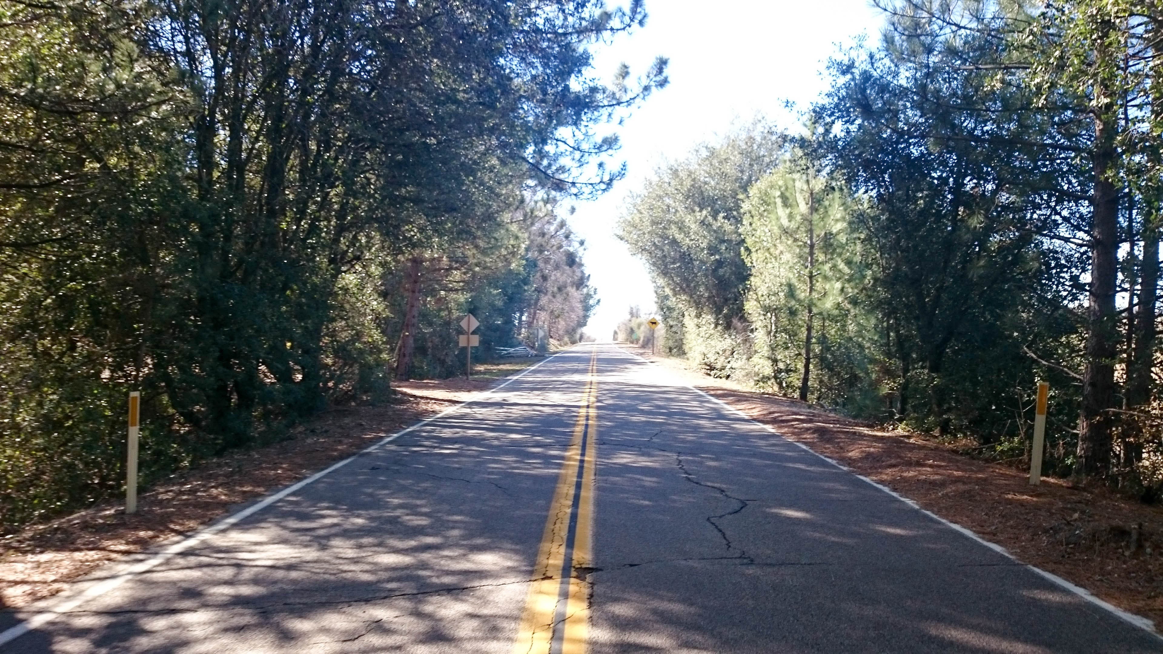
 I had no reason to blow it out of the gate, so I cruised up the road in a pretty easy gear. I knew there would be snow once I hit gravel, but I had no idea how bad it was going to be.
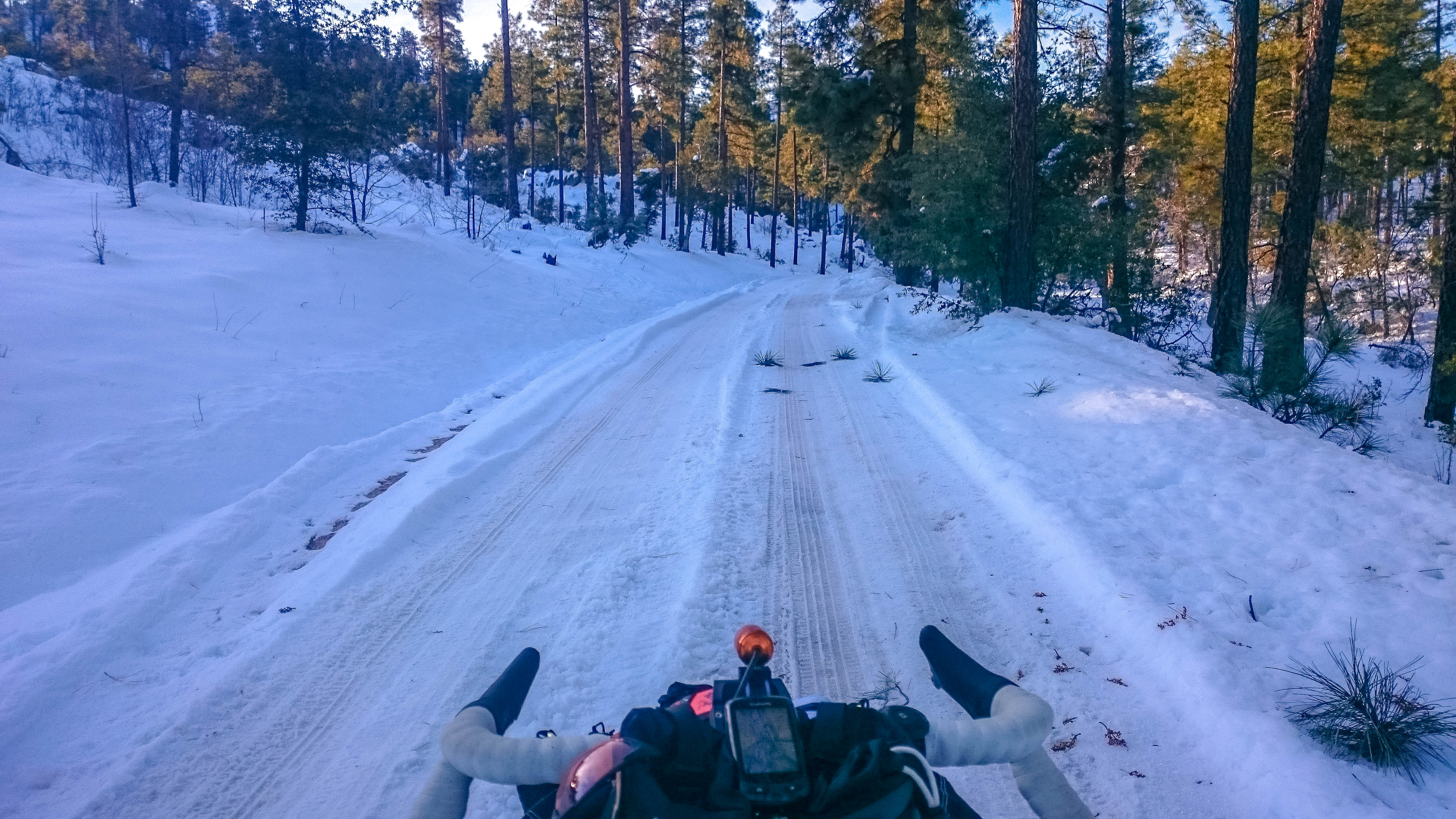 Luckily the 4+ miles of gravel to the overlook were all ride-able, with the exception of a few scattered, shady deep sections. I stopped on the way up for one last look at Prescott. Riding in the snow seemed like a fitting way to start this trip through the desert.
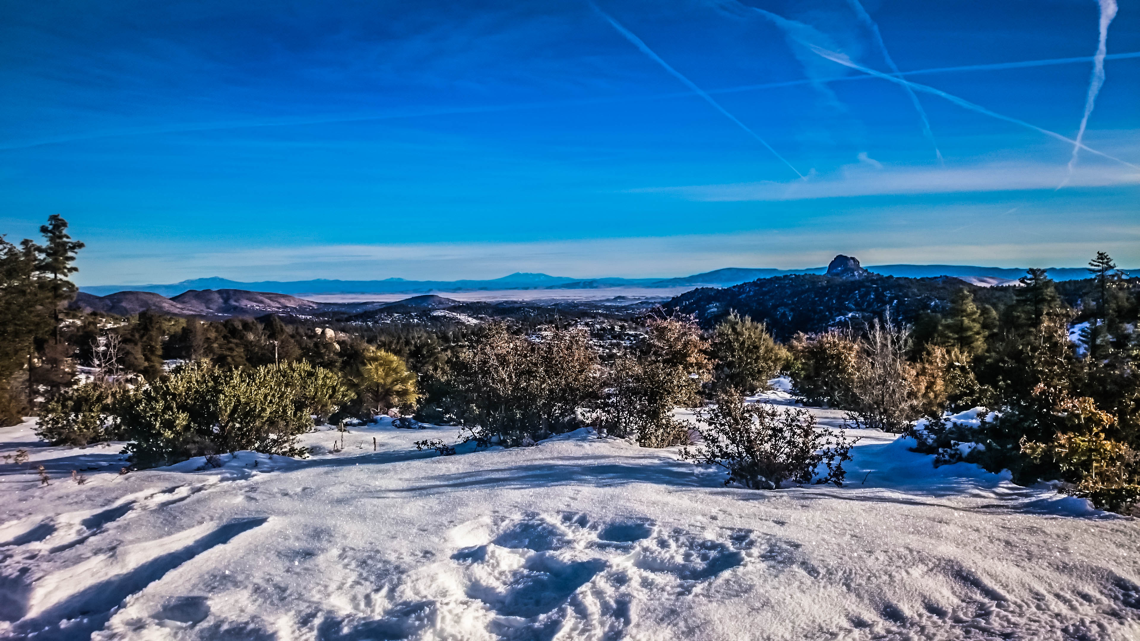 I hit the overlook, and soon began the slippery ride down Copper Basin Road. Last time I was down this road, it had been plowed, this time it was a ping pong match on ice, between my front tire and the sides of the tire tracks.
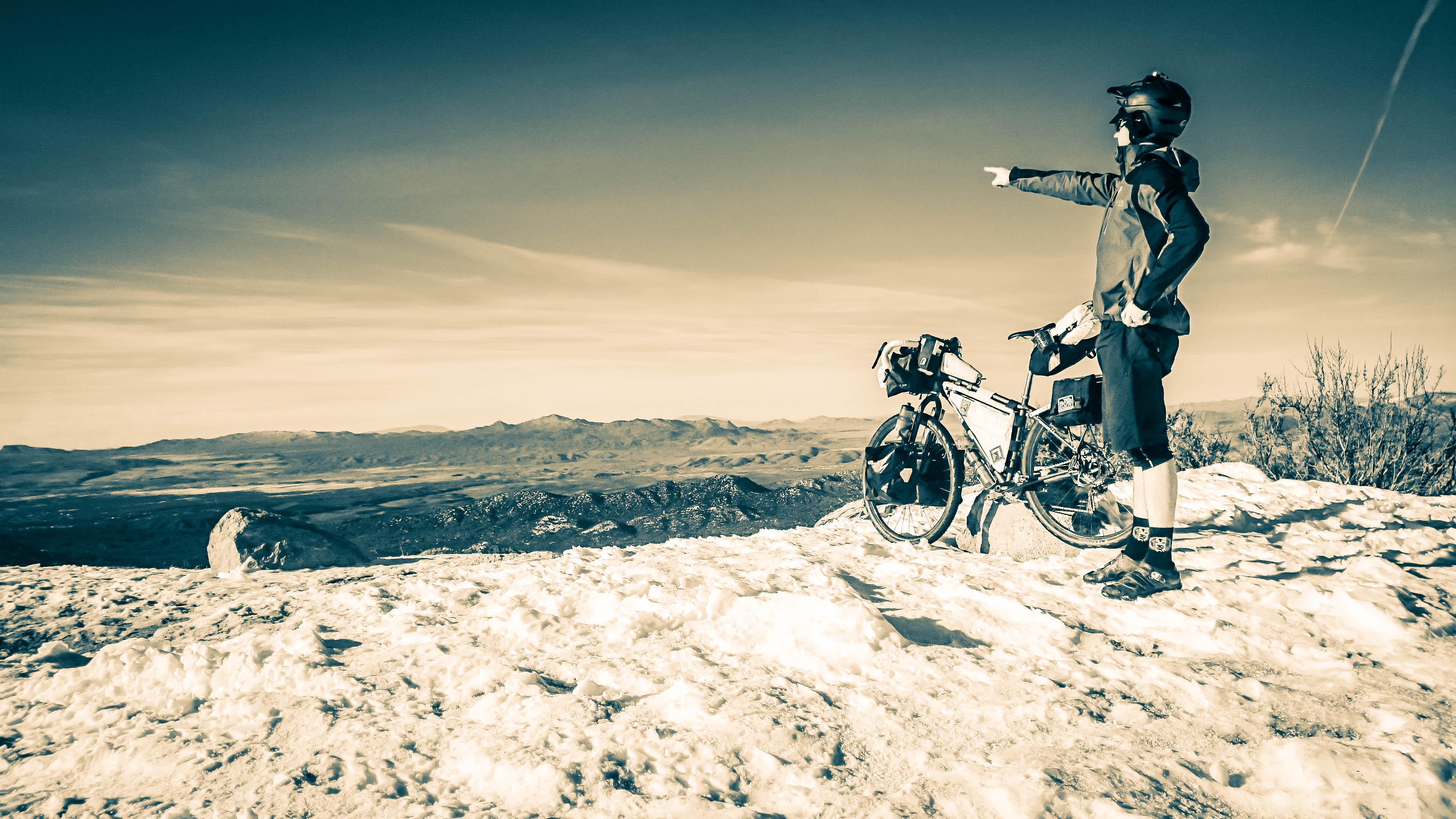 I stepped into to 2’ deep snow enough times to get my socks soaked.
 I made the turn towards Wilhoit and the road turned to alternating sand, snow, ice and mud. I chased a lone coyote down the road for over a quarter mile. Shortly after, I found a roadrunner and we played the same game, but no acme tricks. The tires had acquired a layer of mud and cat litter sized sand that stayed on until I hit speed on the paved roads a few miles later.
I passed through Wilhoit and made my way on to 89. Clumps of sand flung off the tires as my speed over the road increased. They cleaned themselves nicely, and the next several miles of pavement saw no issues. Steel is real. I knew I had some steep downhill coming up and the ride down the highway to Congress was so fast I could keep pace with the cars. Halfway through, I met some kids who were driving back to California. They asked what I was doing and when I told them, they were stunned one would even think about riding that far. I asked them to snap a few shots and I was on my way.
 Blasting down the rest of the mountain was so chilly I needed my jacket again. I refilled water and picked up a snack at the gas station in Congress. An elderly Marine couldn’t carry his beer out to his car, so I gave him a hand before I headed off to find the dirt road to Alamo Lake. I wasn’t headed to LA, but I got got my first glimpse of the task ahead.
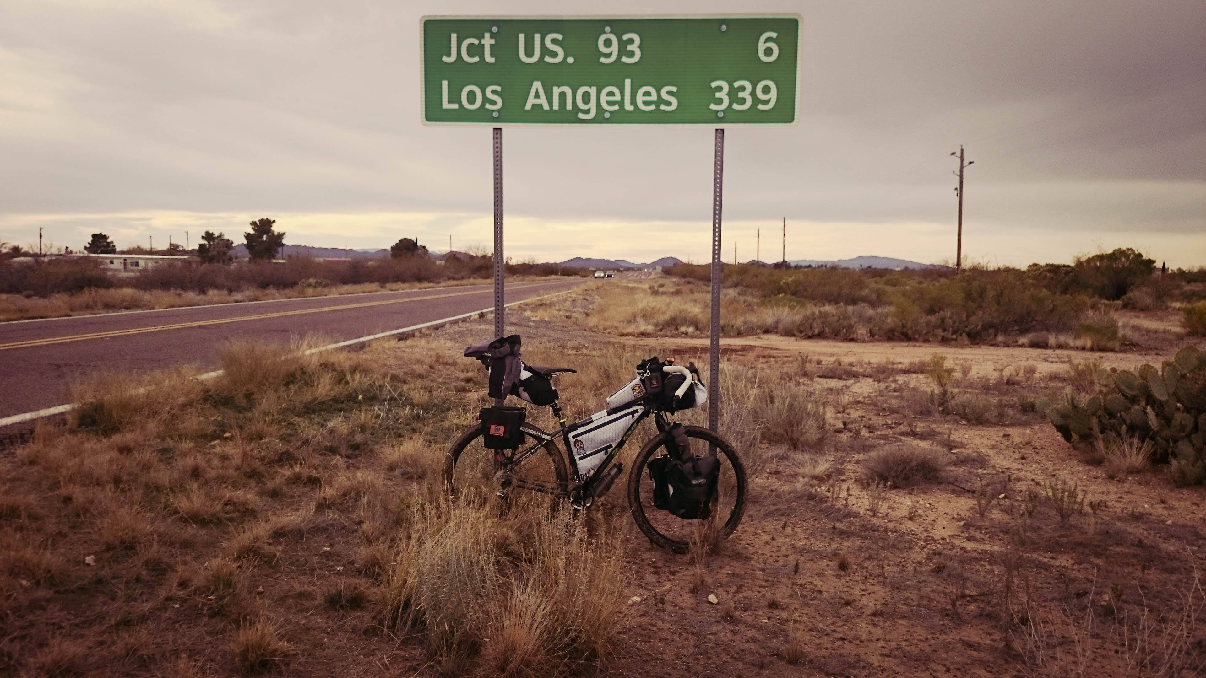 Once I found the dirt, the line on my GPS had to be altered every time erosion had developed a wash through the road. What was to be straight, was now a zig zag through flat territory. Some washes could be navigated by 2” tires, others forced me off the bike to walk across through a sandpit.
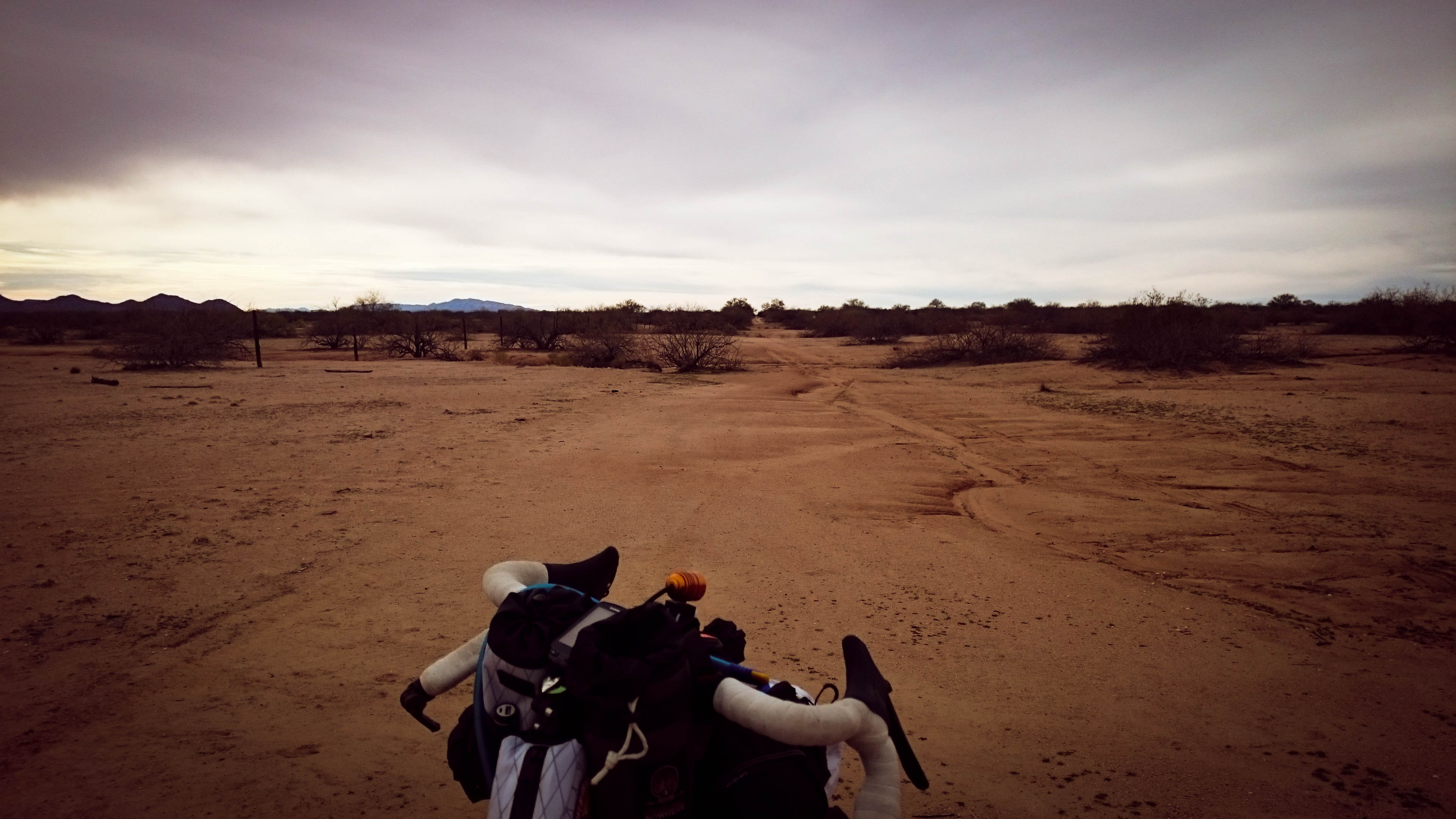 I could see a highway coming up in the distance, unfortunately it was on the other side of a high barbed wire fence. I found a wash I could take under the fence. I cleared the debris and pushed the bike under, only to find the gate had been buried and entangled in roots of a large tree. I took the panniers and bottles off, threw them over, hoisted the still heavy bike over, with caution to stay free of the fence, then I climbed over the gate. I was happy to know that was the only fence I had to jump.
A short road section with good shoulder led me to the last stretch of gravel for the day. 30 miles of very gentle downhill, mostly slowed down by loose sand and rock or the light headwind. The road was very wide and I could really look around at all the scenery. Arizona must have some of the best washboard. I was passing Joshua trees left and right. Saguaros towered over the desert floor. Every once in awhile, my front wheel would break loose in a sandy patch. The daylight was quickly disappearing. I stopped to snap a shot while the colors were at their peak.
  Darkness set in, the oasis was still several miles away.
 The temps started to drop, time for the jacket to go back on. I could now see the faint lights of the Wayside Oasis in the distance. As I rolled closer I could begin to make out the RVs and Campers. One Camper even had a big screen TV setup outside with a fire pit and chairs all around. I was finally there. As I was leaning my bike against a post on the front porch, a man came walking out the door with his family. “You Made It! Perfect timing,” he yelled as he walked down the steps to approach me. “Where’d you come from?” he asked. I told them I had started in Prescott that morning, and I was headed to Oceanside. They were in awe of the adventure, wished me good luck, and we bid each other farewell. I was just in time to watch all the football fans go crazy over the Packers v. Cardinals game. Not a team sports fan at all, it was comical to watch everyone get so worked up over something that has so little to do with them personally. I was just happy to have a cold beer. One of the ladies at the bar saw me by myself and asked where I came from. I explained to her where I started, and where I was headed. “Unbelievable,” she said. She went back to the bar to tell her girlfriend, who was now stomping on her Green Bay sweatshirt, too upset to hear anyone but the Cardinals fans cheering. I paid my tab and was out the door.
I was planning on having breakfast at the Oasis, so I proceeded backwards along my route to an area I had scoped out on route to Wayside. I barely made it off the property when I was stopped by the same man who greeted me as I was parking my bike upon arrival. “If you’re headed to Cali, you’re going the wrong way!” he yelled. I explained my plan and headed back about a quarter mile, or as far as it took so I couldn’t hear the hum of generators.
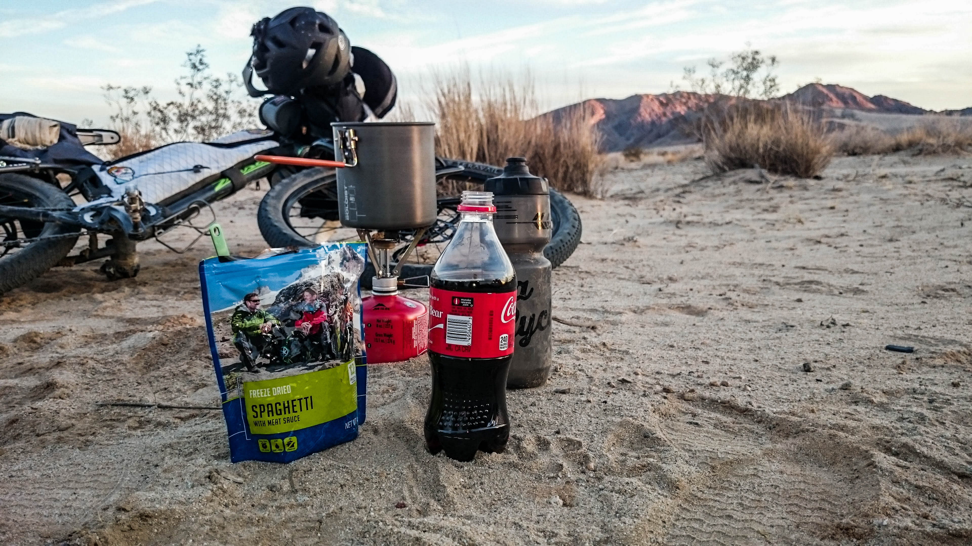
I found a flat spot and started gathering some twigs and thumb size branches fallen to the ground from the sickly desert shrubs around me. The small fire lit my way so I could begin sifting through the food pannier to find all the necessary items to prepare the evening’s meal. I boiled the water as I started putting up the tent. Once boiling, I started rehydrating my beef stroganoff. I had to wait 8 minutes to eat, so I finished the tent, air mattress, pillow, and fluffed my down quilt. I collected several more bunches of tiny branches and sat down to eat my meal. I carried a Coca-Cola 30+ miles and it was totally worth it. An incredible meal to finish off the day. I peed out the fire and I was off to the tent for the night. The down quilt was warm and I was soon asleep.
In the morning, I awoke to be surprised by ice droplets all over the 30 degree quilt. Maybe it got a little colder than I expected. I pulled the day’s clothes out of my dry bag turned pillow and stuffed them under the quilt with me to warm them up. Once dressed, I packed up what gear was dry and eagerly awaited the sun’s warmth to beat down on my tent.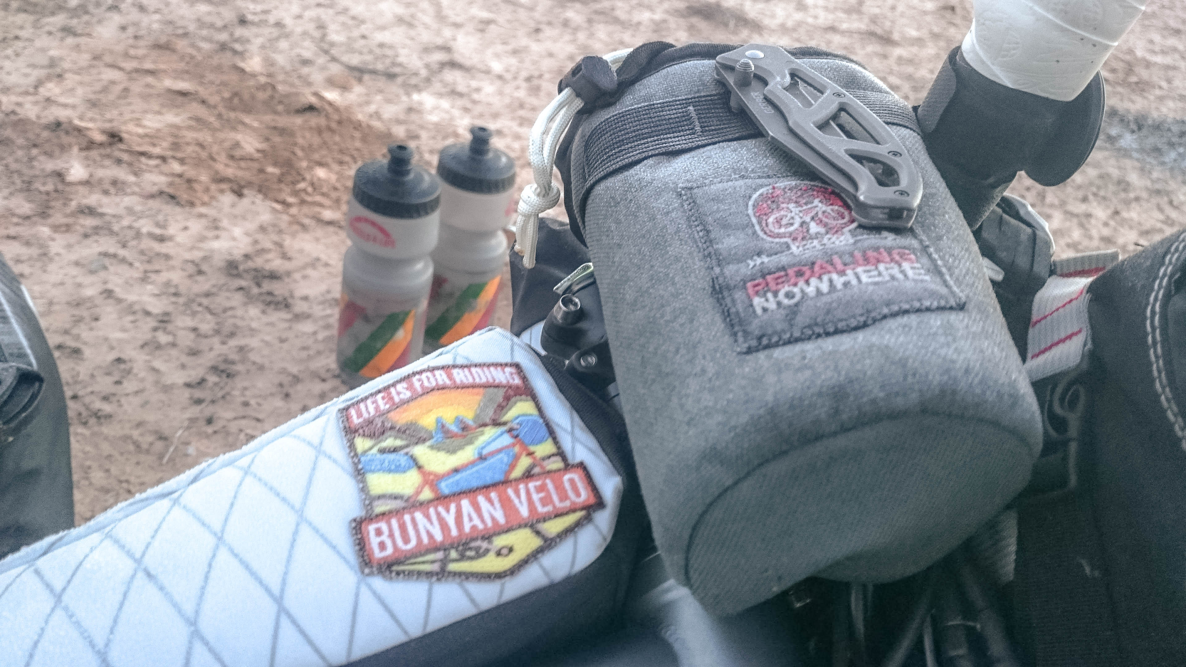 The Oasis didn’t open until 8am, but things still weren’t drying fast enough. I pulled out my travel towel and dried of all that I could before packing the last remaining items into my seat bag. After double checking the campsite for any trace, I was back en route to a giant breakfast burrito.
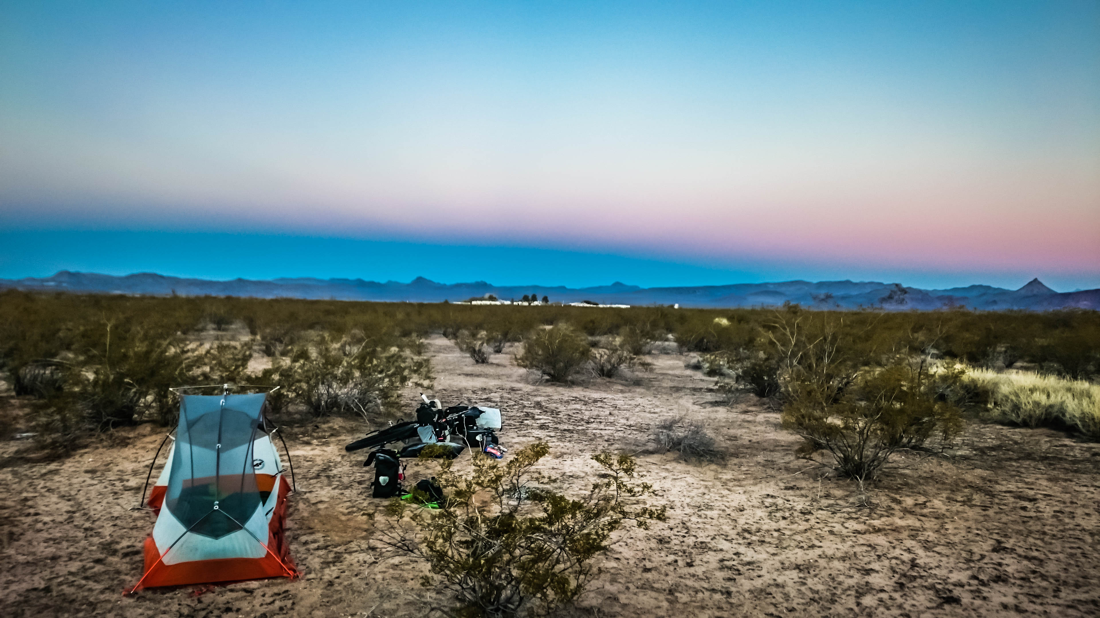 The place was half empty when I pulled up to the bar. The service was slow, coffee about gone, not what I was hoping for. There were three young children who took a seat next to me at the bar. They kept pestering the bartender for some root beers while everyone around kept trying to shoo them off. After waiting an eternity for some fresh coffee, I ordered my burrito and inquired about getting a bacon and cheese sandwich to go. The burrito was tasty, a perfect breakfast for a ride through the desert. Unfortunately, the sandwich took a long time to arrive as well. It was 10 o’clock before I managed to swing my leg back over the bike.
 The first stretch of gravel roads were good, with the occasional washboard section, vibrating everything on the bike.
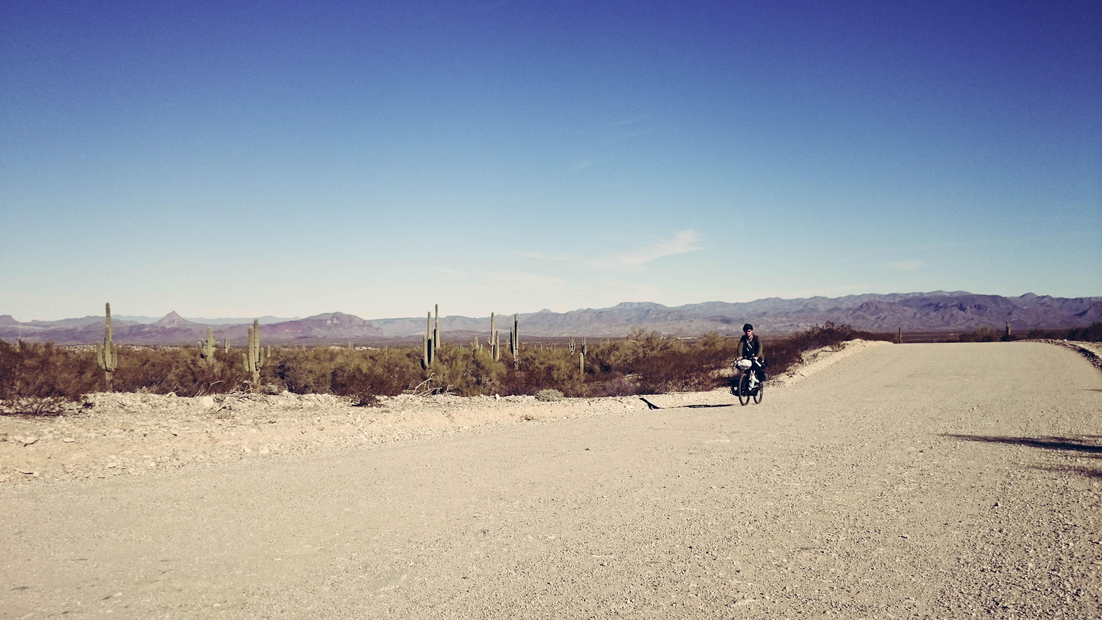 Traffic was light for a short bit on the road. All of a sudden, my GPS started beeping, alerting me I was off track. I had uploaded a track to my GPS with a section missing. A straight diagonal line covered the missing portion. I was lucky to have cell service where I was at and managed to locate the tank I was headed for.
 What was a nice section of gravel turned into a sandpit. Riding quickly turned into more and more pushing the bike. I finally moved off the road and started following the cattle tracks weaving between the thorns and cacti. It was slow, but it was better than hike a bike.
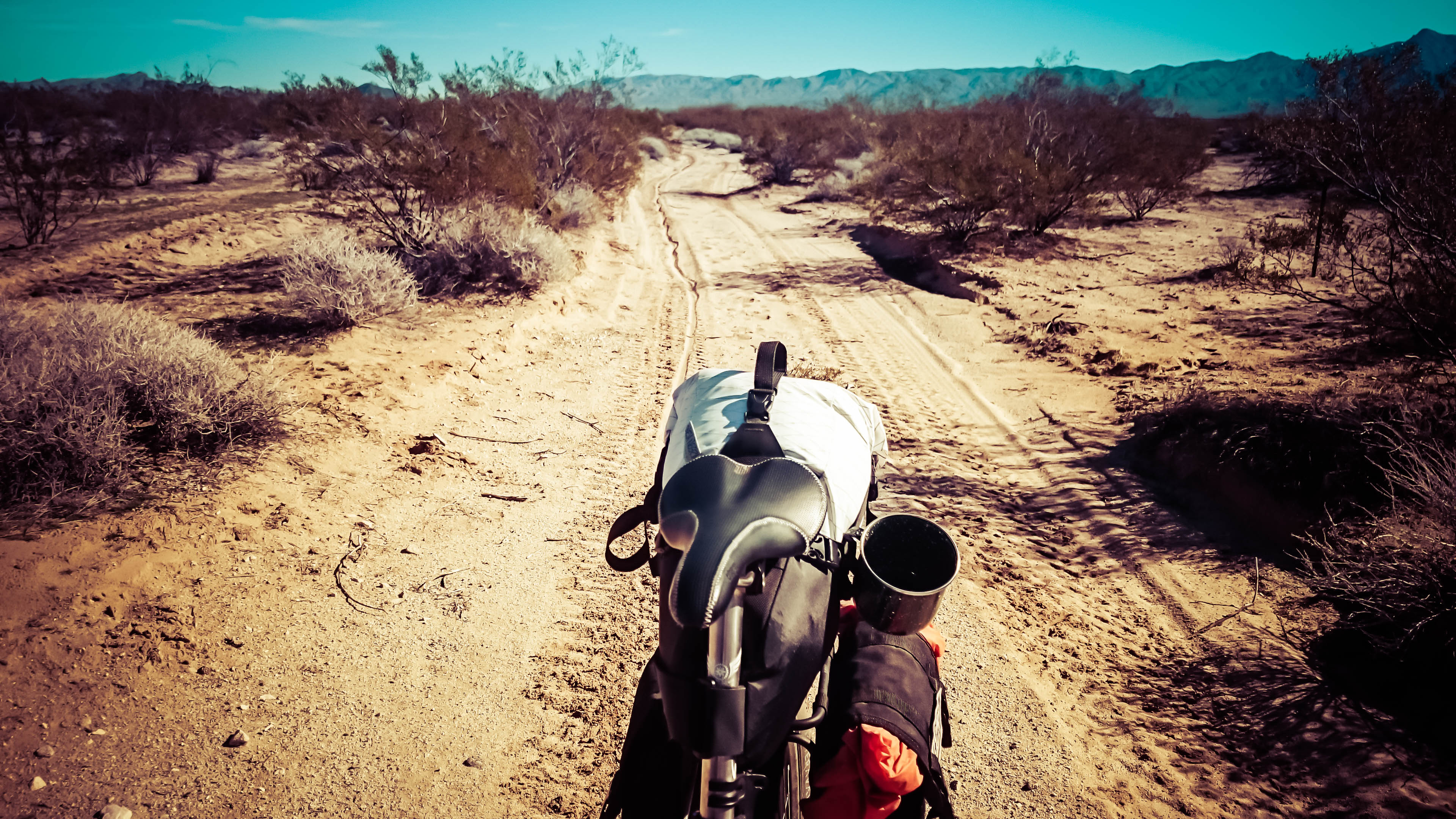 I stopped at North Tank for my lunch. One lonely cow stared me down as I rested and ate my bacon and cheese sandwich under a spindly, leafless tree. After lunch, the sand let up briefly, and I could ride the road for several miles. The next area I was headed towards is part of a Pro Truck off road race course. The trucks had been out practicing which meant the soft road had been turned into a deep sandbox.
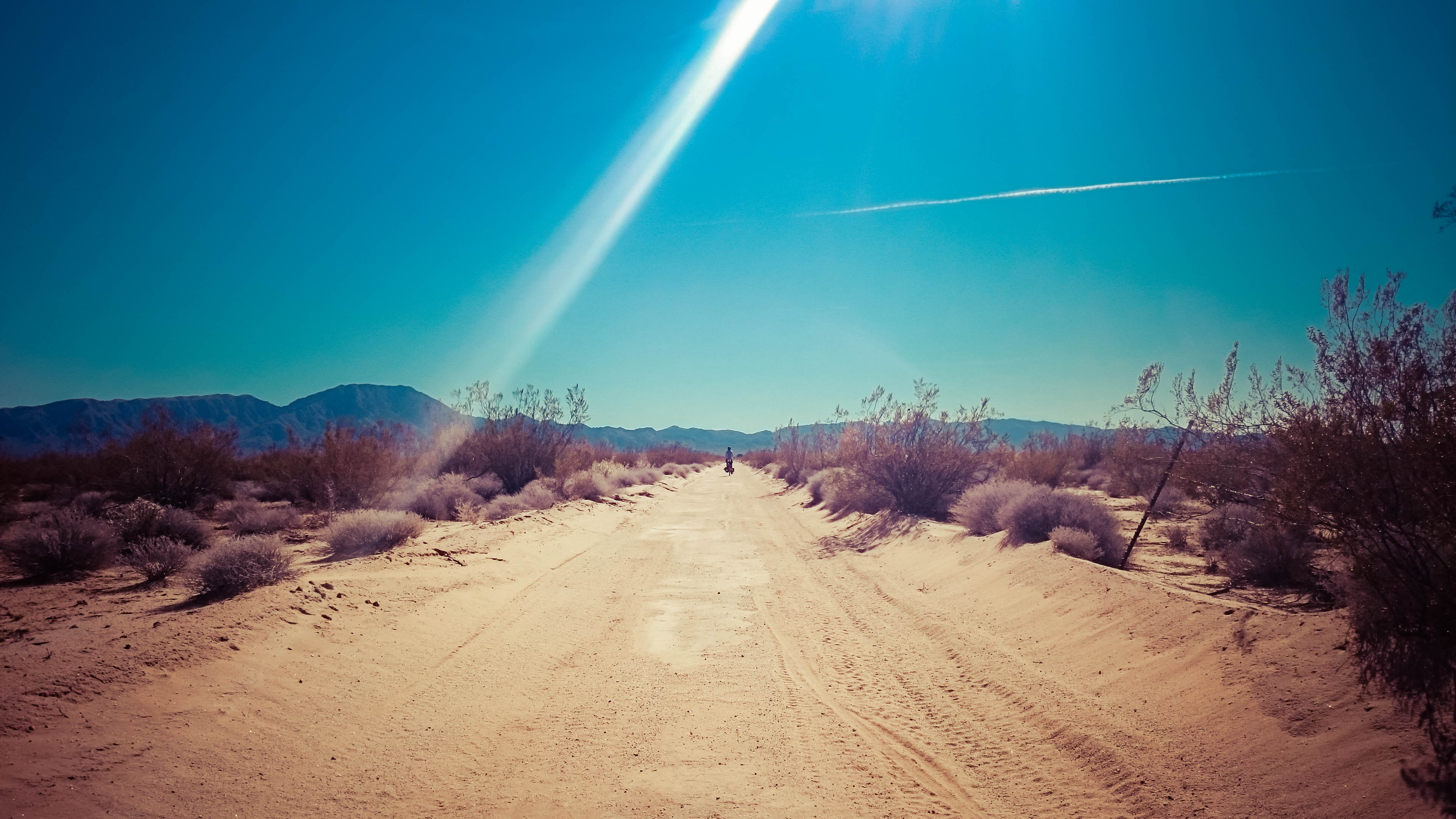 I pushed the bike through the sand until the race course turned off to the left. The sand was over, and I was able to pedal the rest of the day.
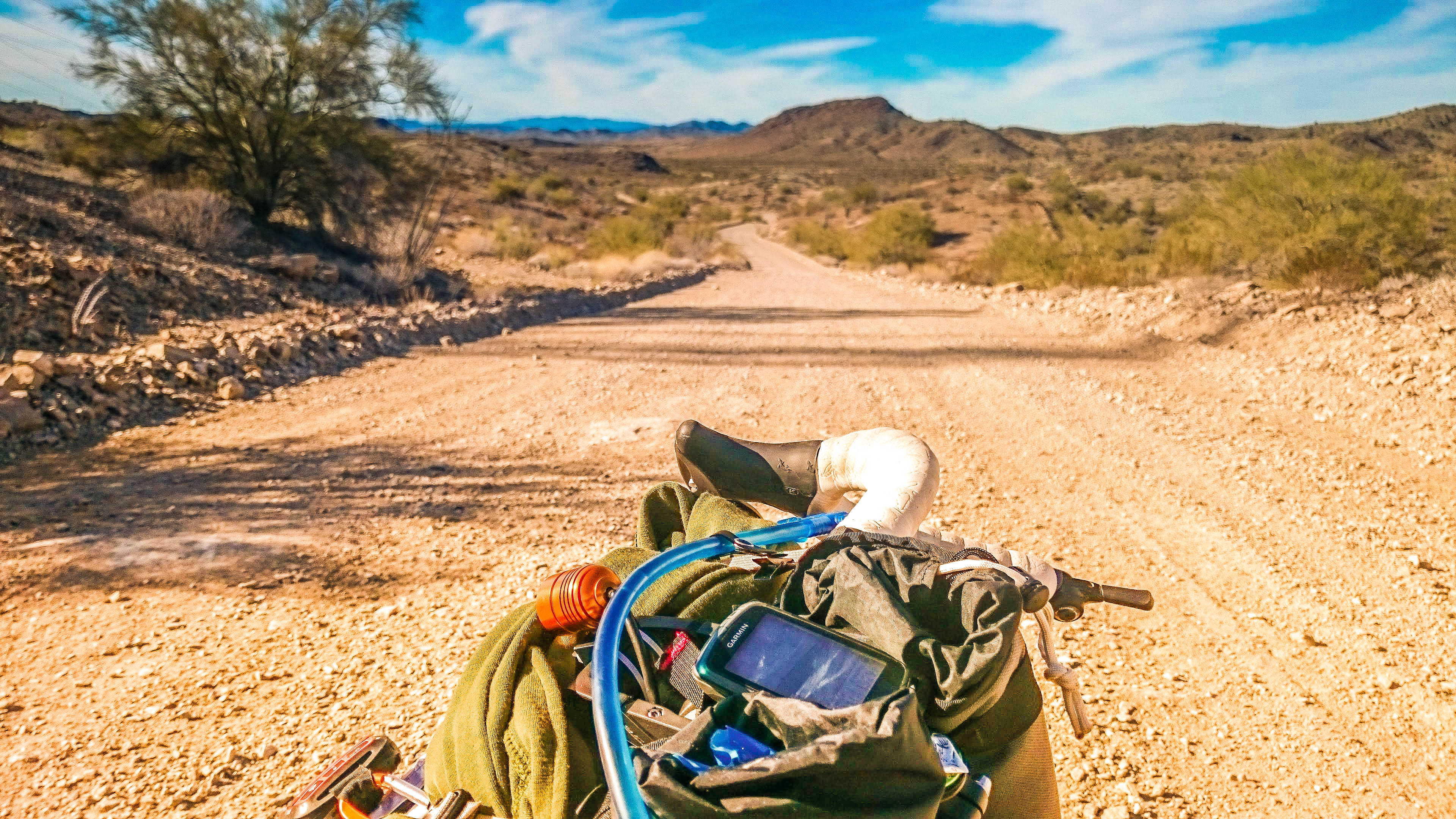
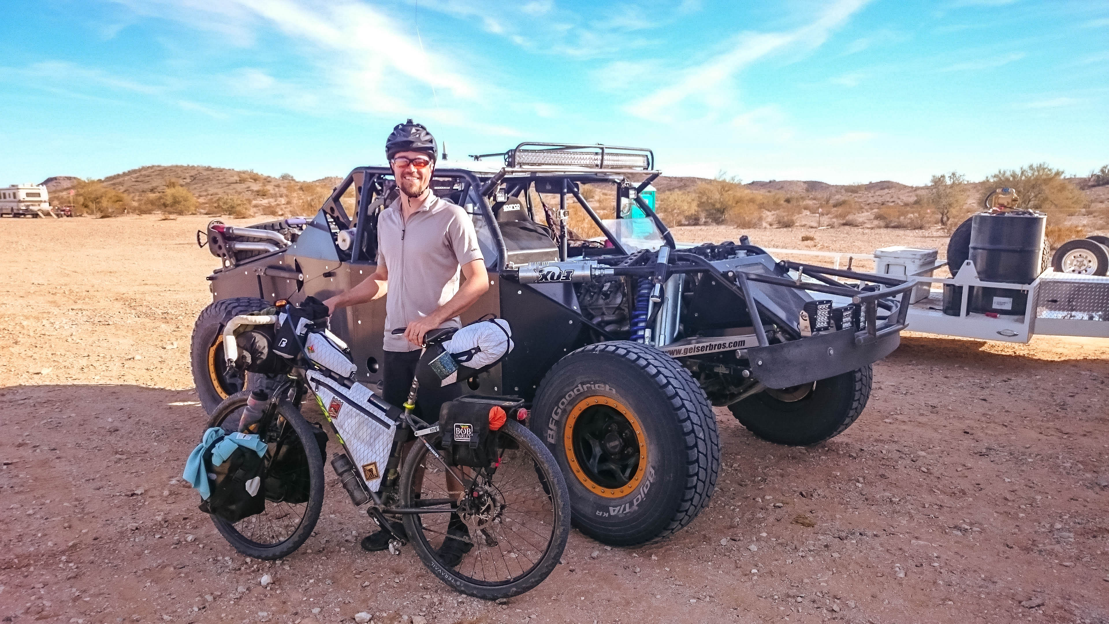
Excited to be pedaling again, I made quick time for the rest of the afternoon. I only stopped a few times for photos. I knew I was getting closer to civilization when I began seeing RVs spread out over the desert. I found one of the race trucks. The owner recognized my SPOT tracker and asked where I came from. He was astounded at how far I had made it in two days with no motor. We talked about the route to Parker as he finished his cigarette. It was nice to enjoy some real shade.
These would be the last gravel roads I would enjoy in Arizona. After 140 miles of back country, I really came in contact with very few people.

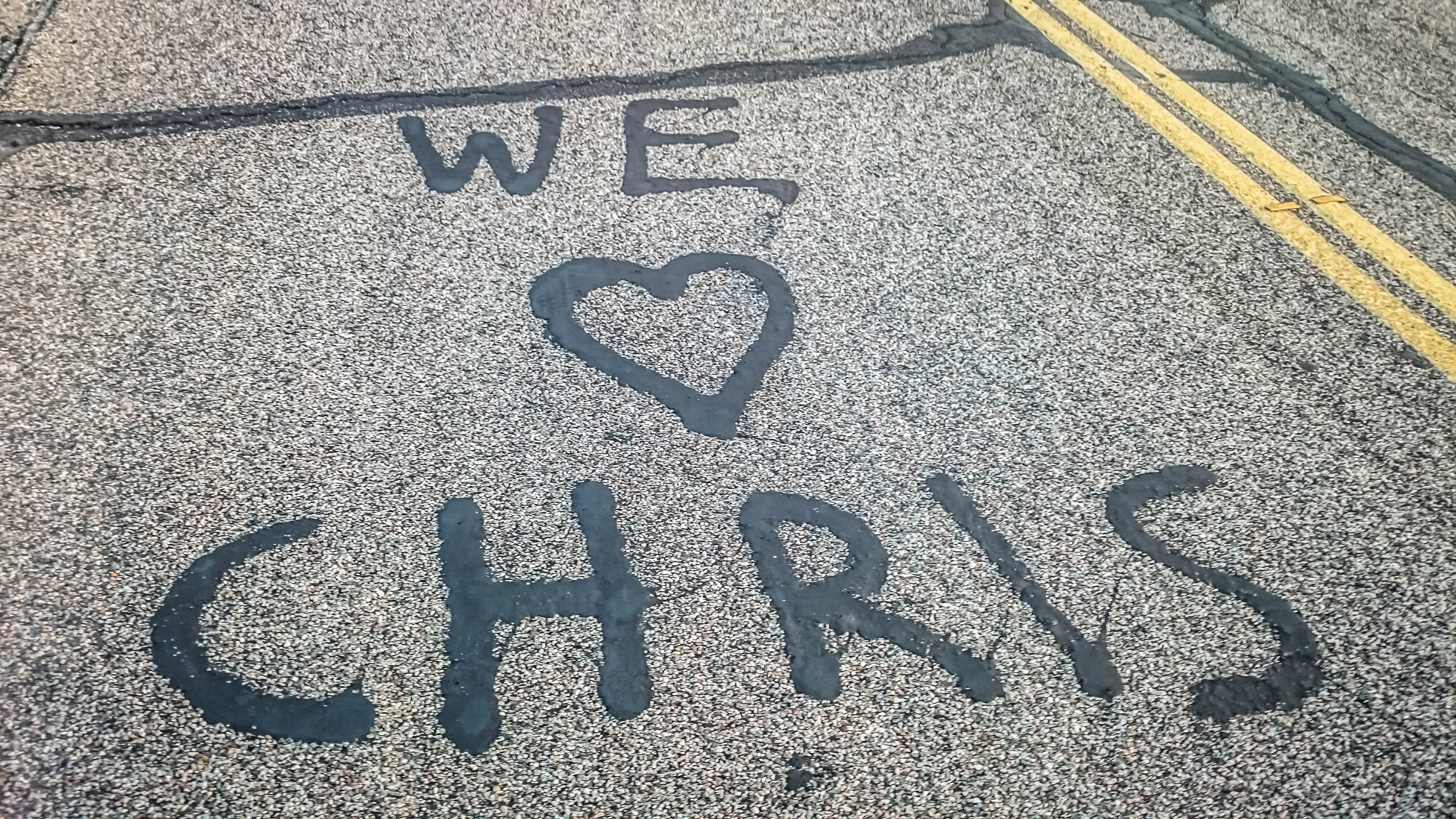
Parker had to be getting close now. I was rolling down a patch of old, rough pavement when I spotted this message in the road. What a coincidence to stumble upon this, in the middle of nowhere.
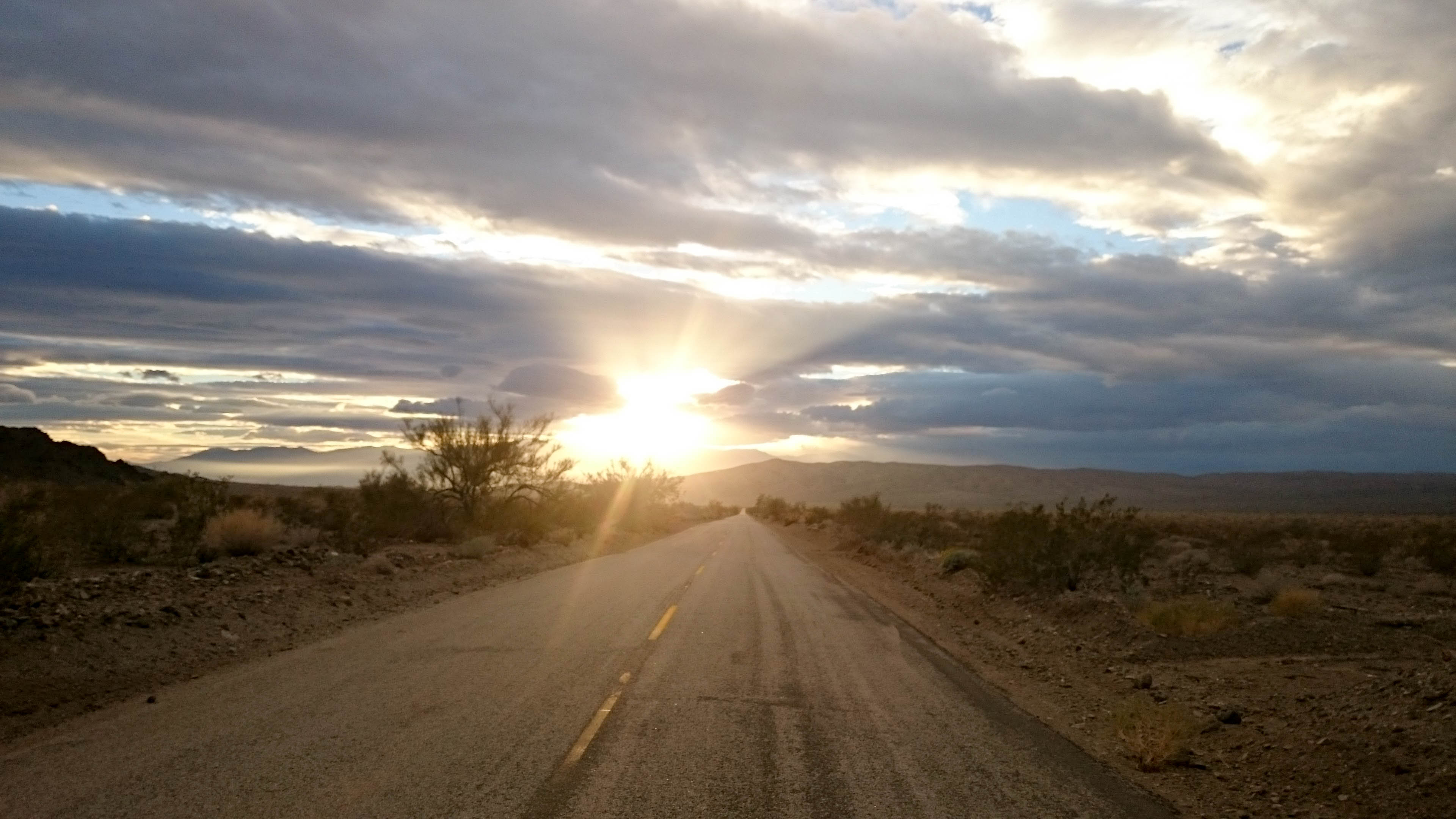
Realizing I would not make it to camp before dark, I opted to stop for a picture of the sun setting over the mountains in California. Just as the sky went dark, I pulled into Parker and stocked up at the first gas station I came across.

A quick refill in meant I had a cold Coke to enjoy with dinner, but there were still several miles to go before I was at an area where I could make camp.

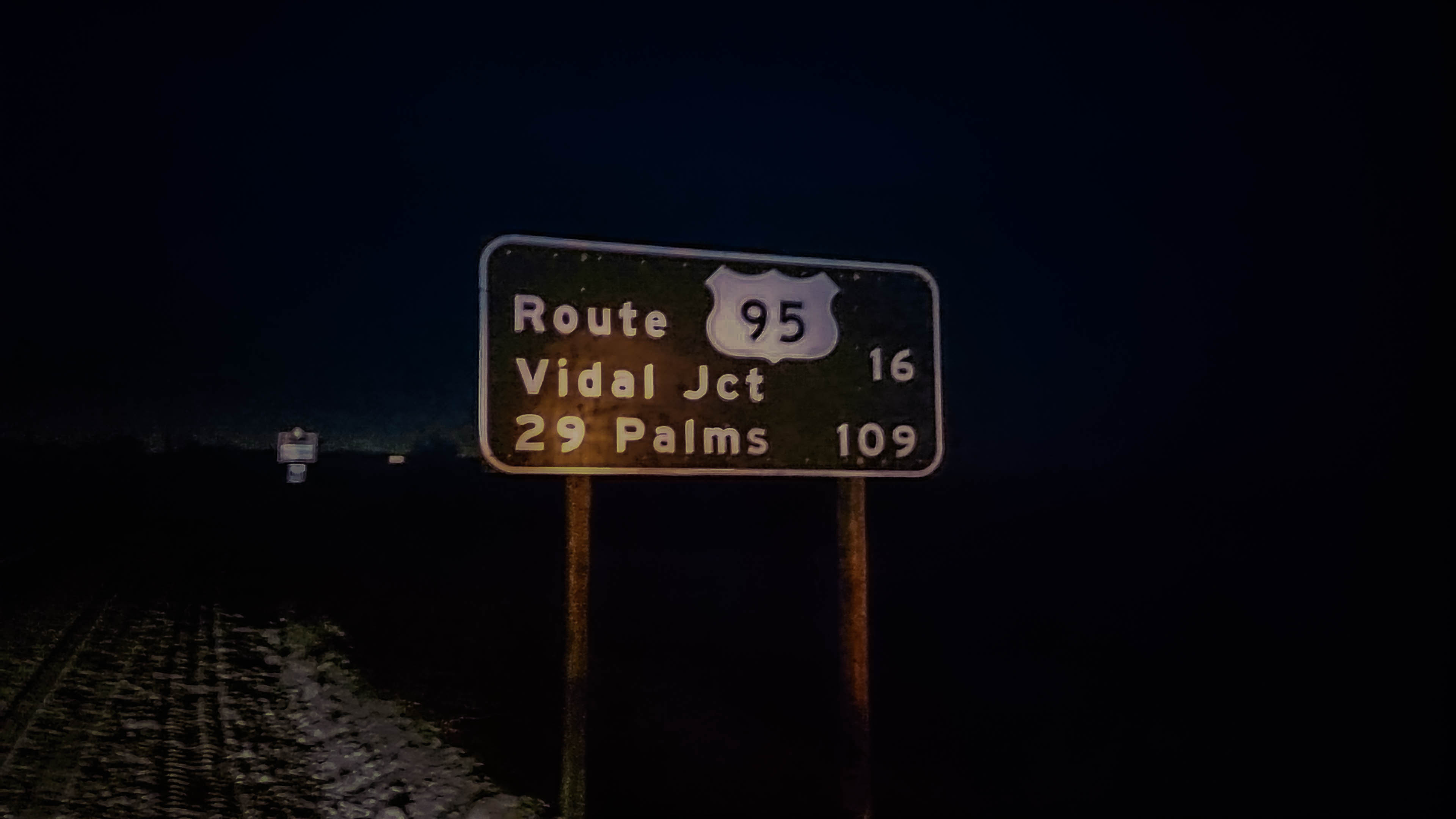
I crossed the bridge over the Colorado River, my first time crossing a state border by bicycle. As I was snapping a picture of the Welcome to California sign, I heard a rustling in the brush behind me. A group of 5 wild burros were hiding in the shadows. My goal for the night was to camp next to the aqueduct just off the road to Vidal Junction. This may have been the scariest part of the entire ride as semi trucks whizzed past in both directions.
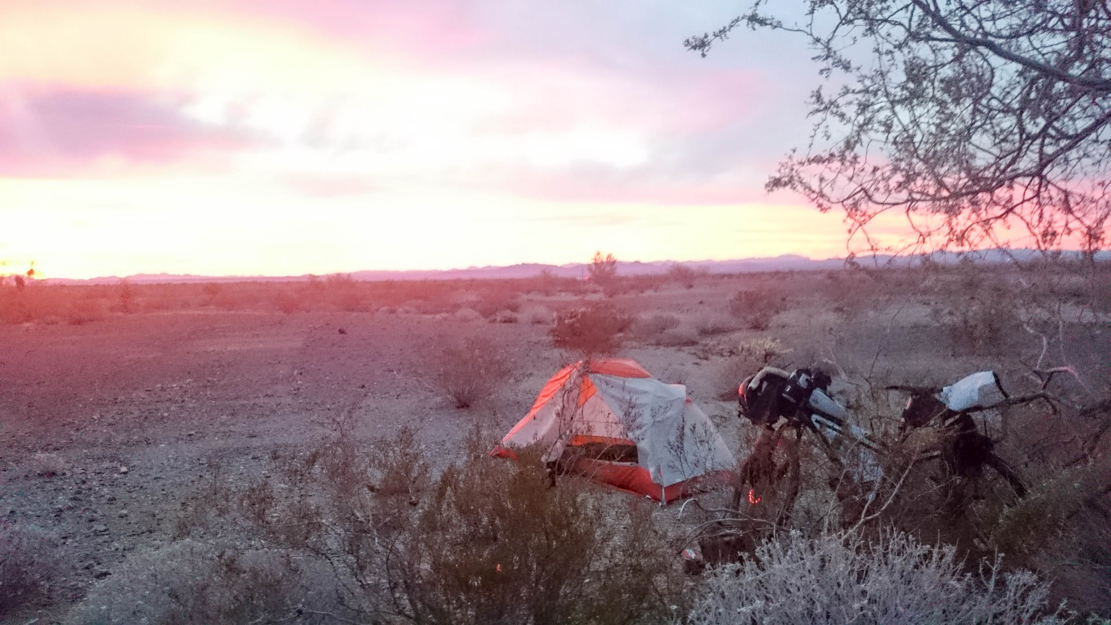
I was beyond ready to eat my Macaroni and Cheese dinner and had to stop to scarf down a couple candy bars on my way up and down the roller coaster road. I turned towards the aqueduct and circled around until I had found a nice little flat spot, where I thought I could hide for the night. I ate all the food I could stuff into my belly, and slept like a log. I awoke to a fire in the sky, a perfect sunrise for my first day in California.

I tried to get packed up quick so no one would spot me, and it was going to be a long day on the road. I didn’t really have anything with me for breakfast, so I double checked there was no evidence of camp, and I was on the road again.
The gas station in Vidal Junction was the last refill for 93 miles. I stocked up on water, Snickers Bars, Coke, and Gatorade. I chugged a can off coffee while I ate a muffin and chatted with some truckers. Their trucks were being inspected by the CHP.
After about 5 miles, an RV went flying past, then a Highway Patrol car, and two other cars. The CHP Officer flipped on his lights and pulled over an 1/8th of a mile ahead of me. I rode closer, nervous he would derail my route for the day. His hand was out the window, waving something back and forth. I rolled up to see it was a bicycle tube, still in the wrapper. He explained he had found it on the road and asked me if it was the right size. He told me to stay as far to the right as possible and to stay safe. He looked over my bike and said have a nice day. No questions, no other concerns about food or water, he was just gone. I figure he could tell I was prepared for what lie ahead.
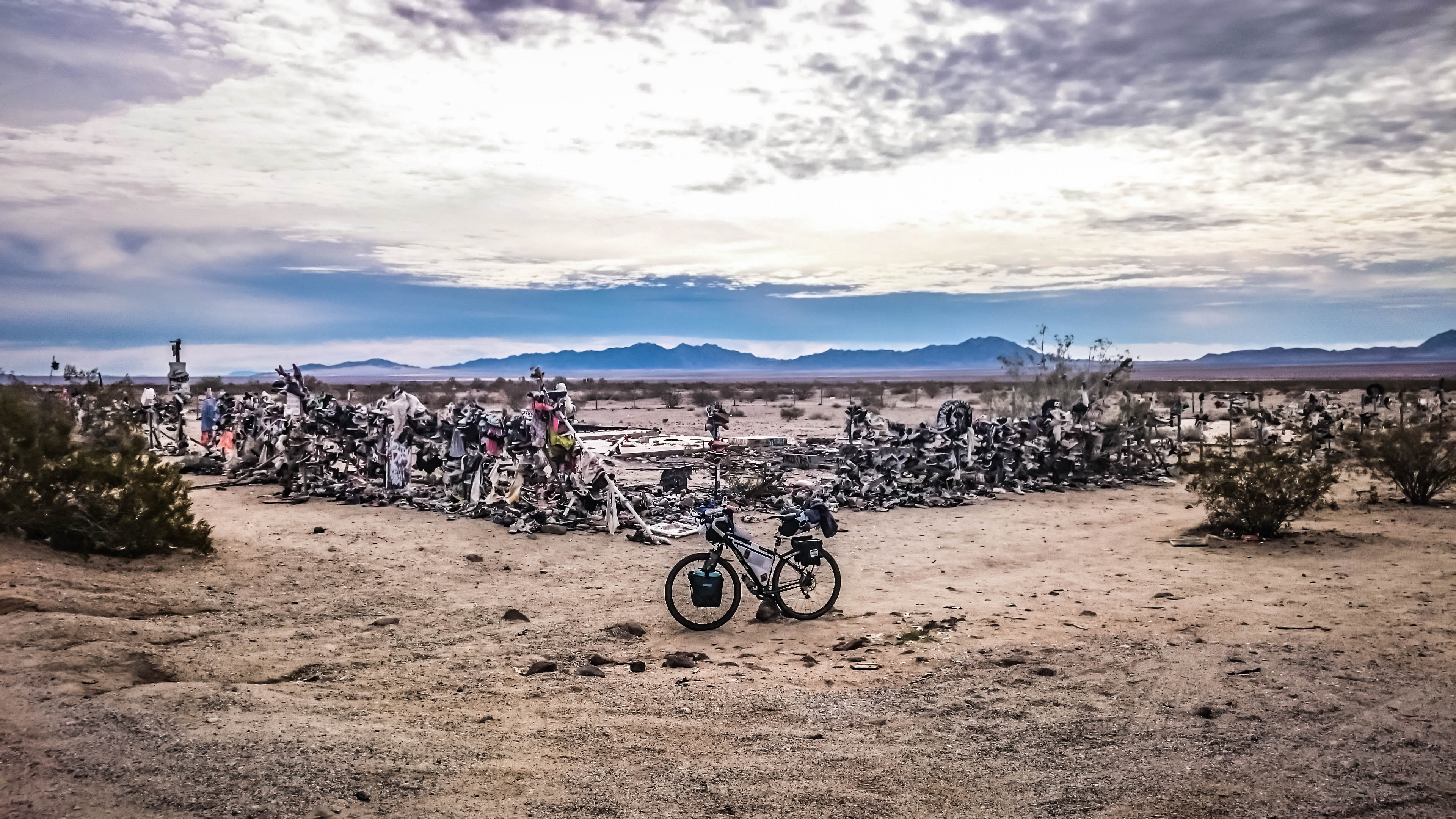
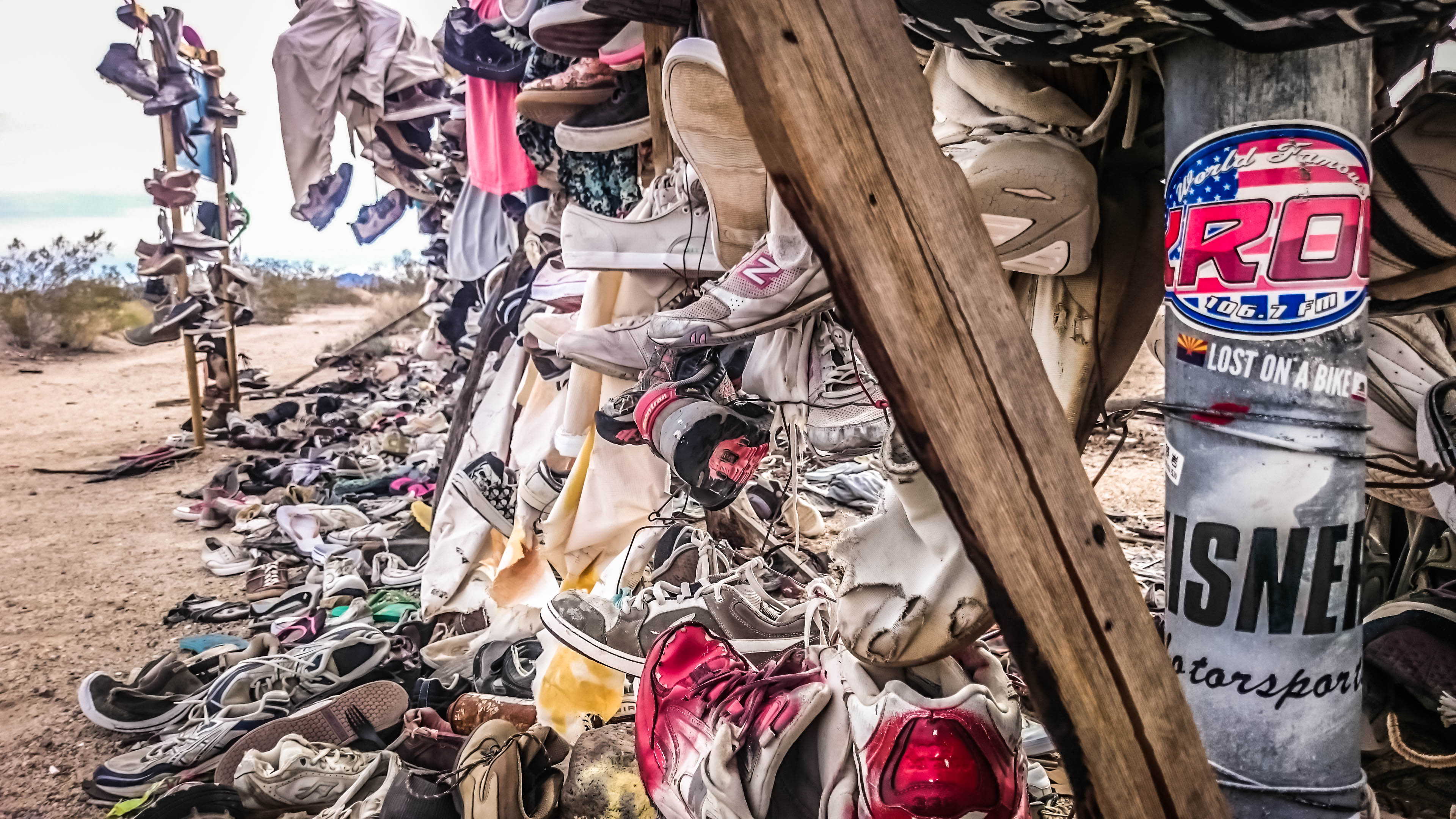
Somewhere along the Twentynine Palms Highway, there used to be a tree, covered with old shoes. The tree burnt down and all that remains now is the shoe fence. The whole thing is covered with sun bleached shoes, gloves, shirts, and other random junk. There’s even a Lost on a Bike sticker on there.
More in the middle of nowhere.

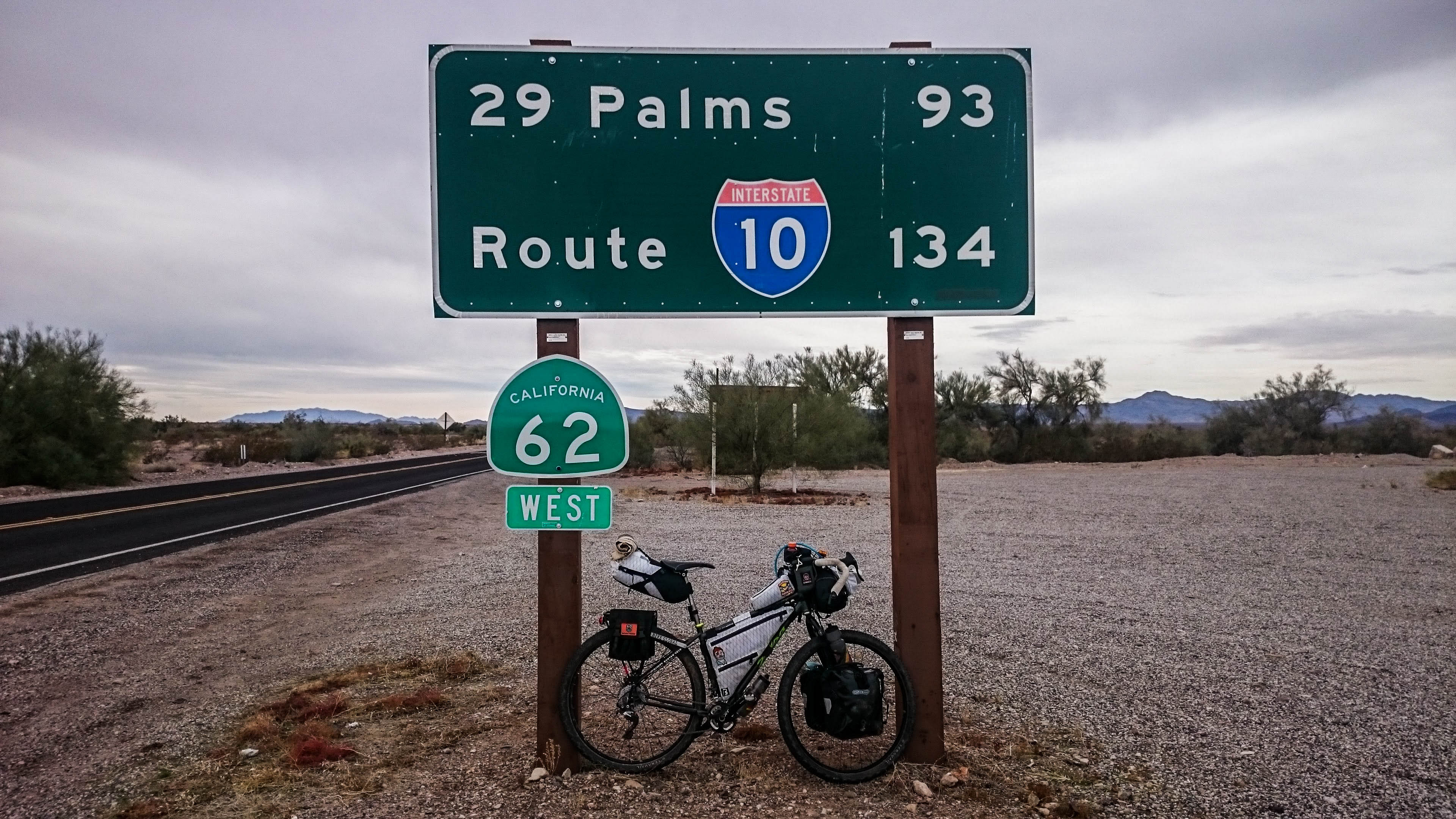
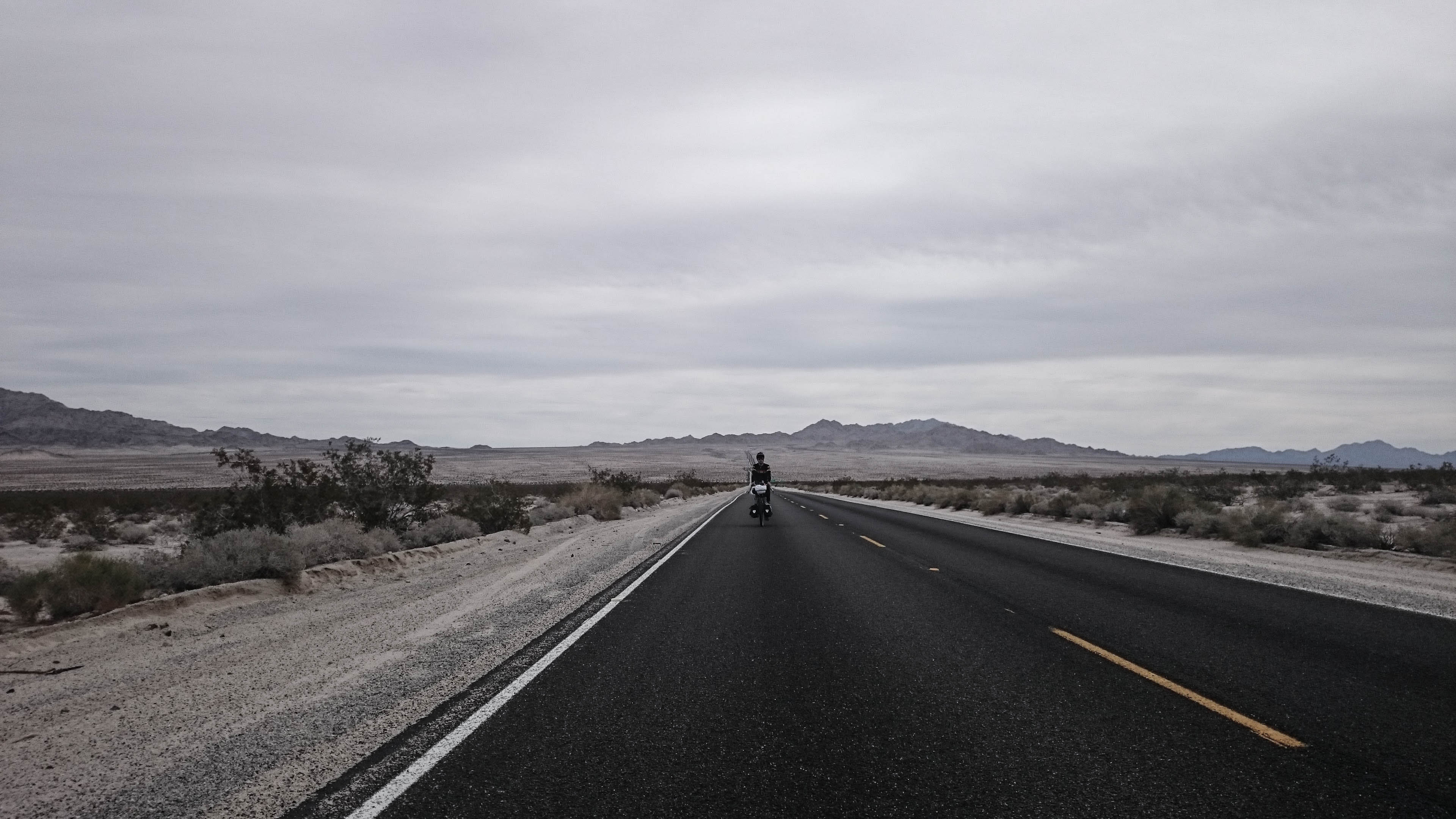
Most of the cars and all of the semi trucks turned down 177 towards Desert Center and Indio, I finally got to relax and the road was so straight, you could see cars from miles away. All day I had been blessed with the best weather one could hope for when crossing a barren dry desert, cool and mostly cloudy. I wore my arm warmers all day. I had been prepared for the worse, and carried far more water than I needed.
The plan was to camp on the outskirts of Joshua Tree National Park, but when I got there, the road I found on Google Maps was now closed to all but foot traffic. No big deal, the farther I went, the closer I was my next refill in Twentynine Palms. A few short detours to the left and right would have been easy on a fat bike, but my 2.2s weren’t ready for a trek across the desert floor. Eventually I found a road firm enough to ride with my tires. It led me over a hill, so I would be hidden from the highway, the only problem was I was rolling into a popular spot for target practice. The ground was littered with broken glass everywhere.
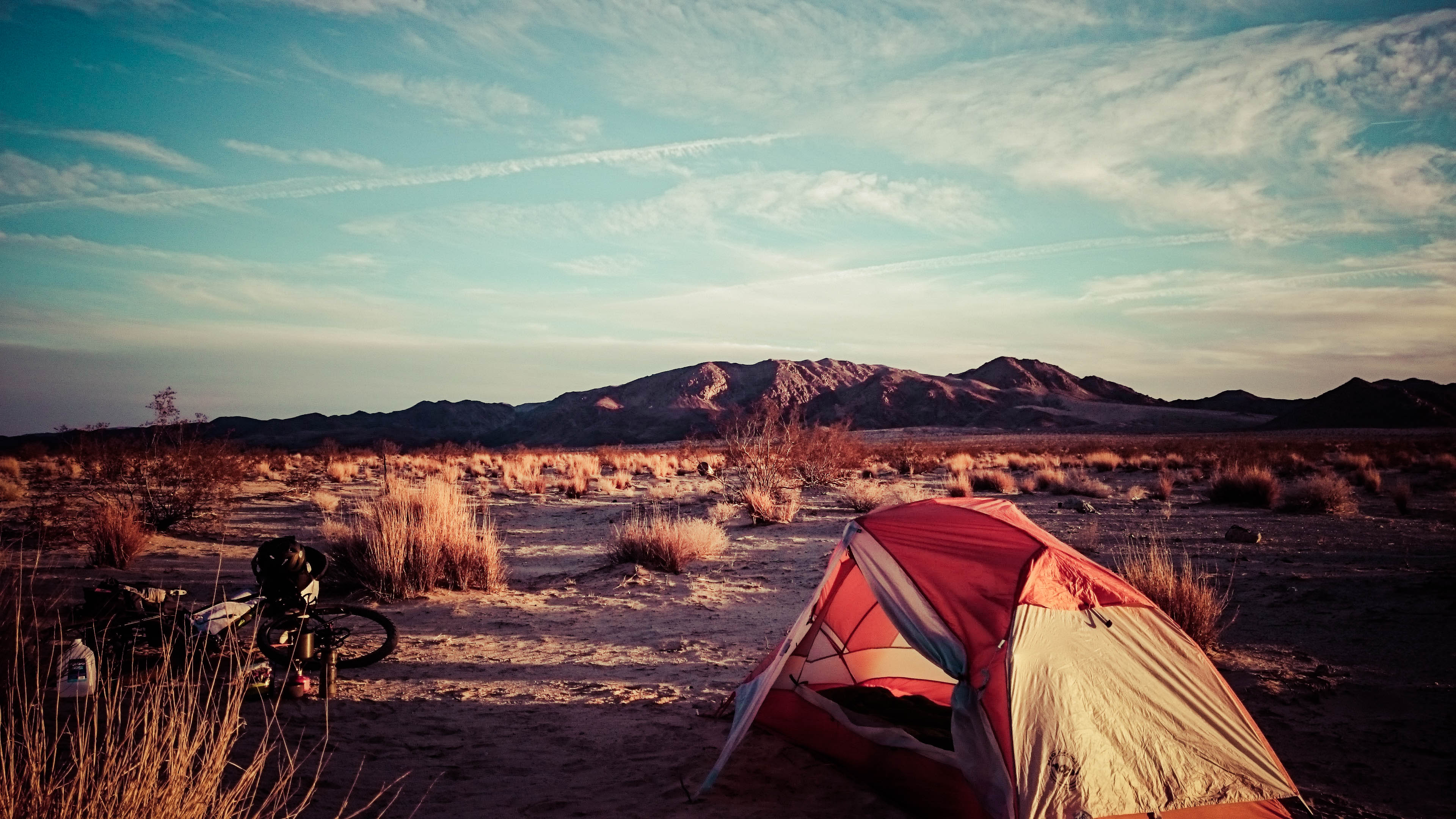
I managed to find one nice spot, where wind and rain had washed a fresh layer of sand over all the debris. I carried plenty of water and a Coke all the way from Vidal Junction to have a fantastic dinner.
I finished dinner just in time for the amazing sunset. The road was over a hill and plenty far away, so I got a great night’s sleep.

Twentynine Palms was a short distance away and traffic on my side of the road was nonexistent. There were lots of these little tiny shacks, some occupied, some stripped bare.

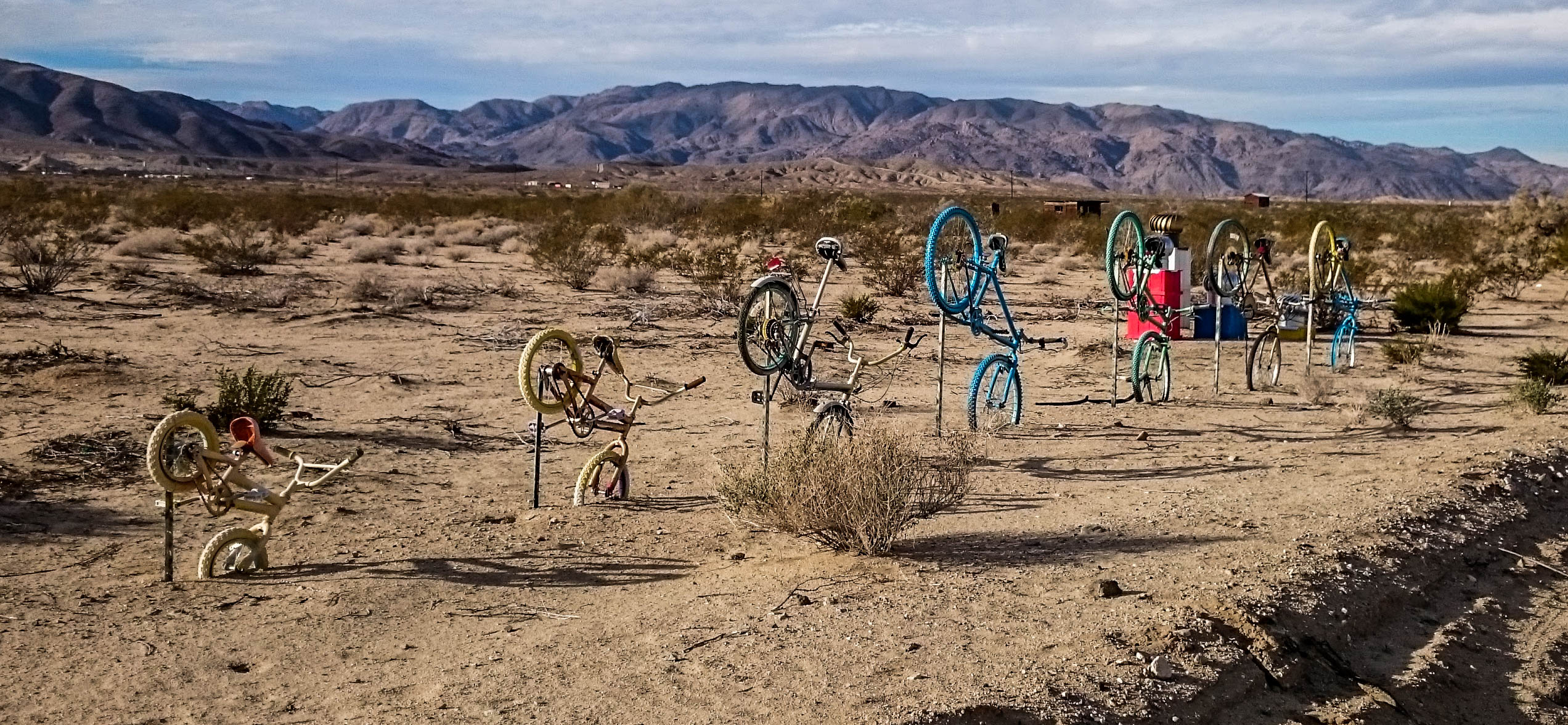
Bicycle yard art.
Even though I made it to city limits, it was still a while before I got to any sort of refill.
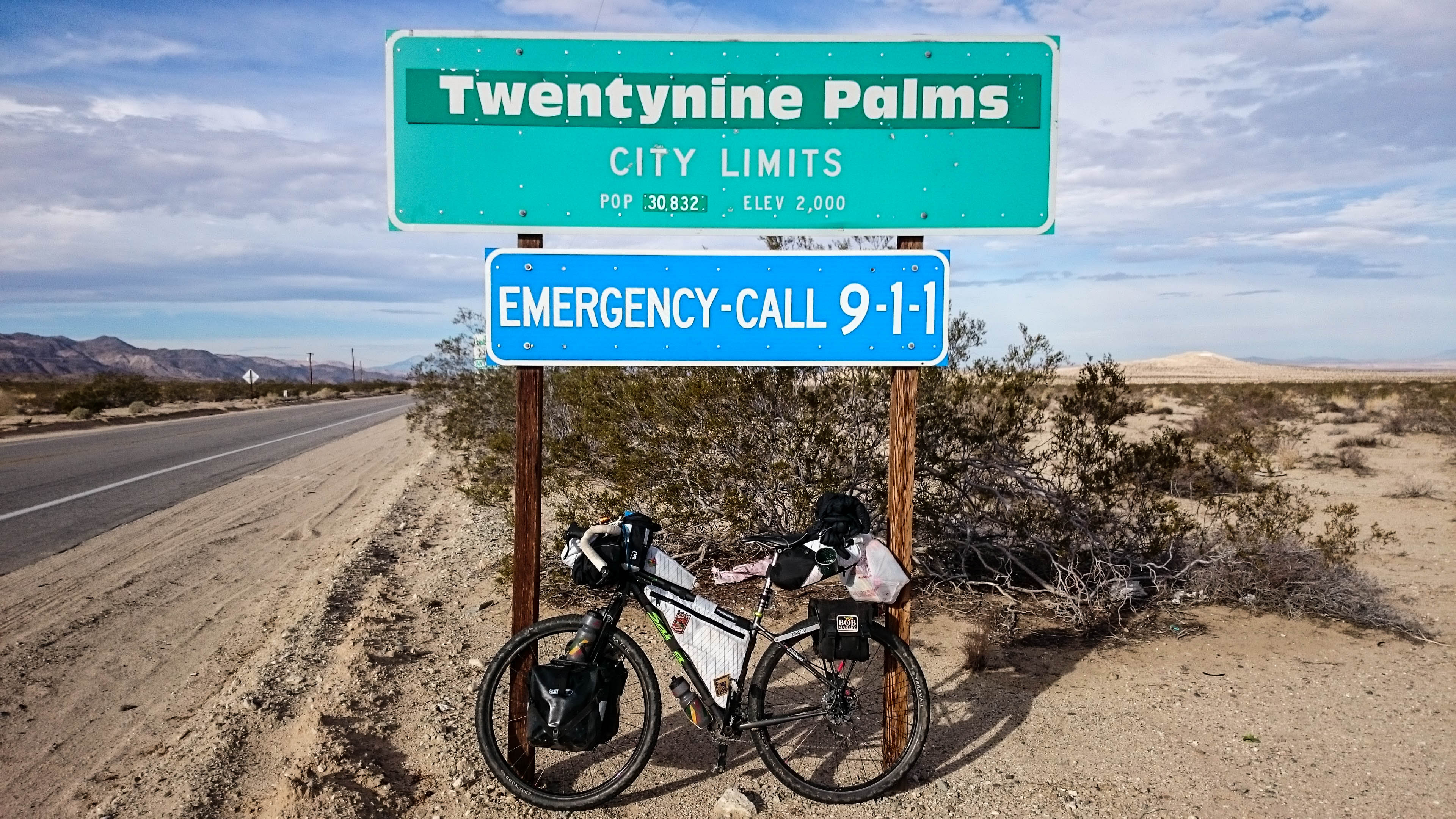
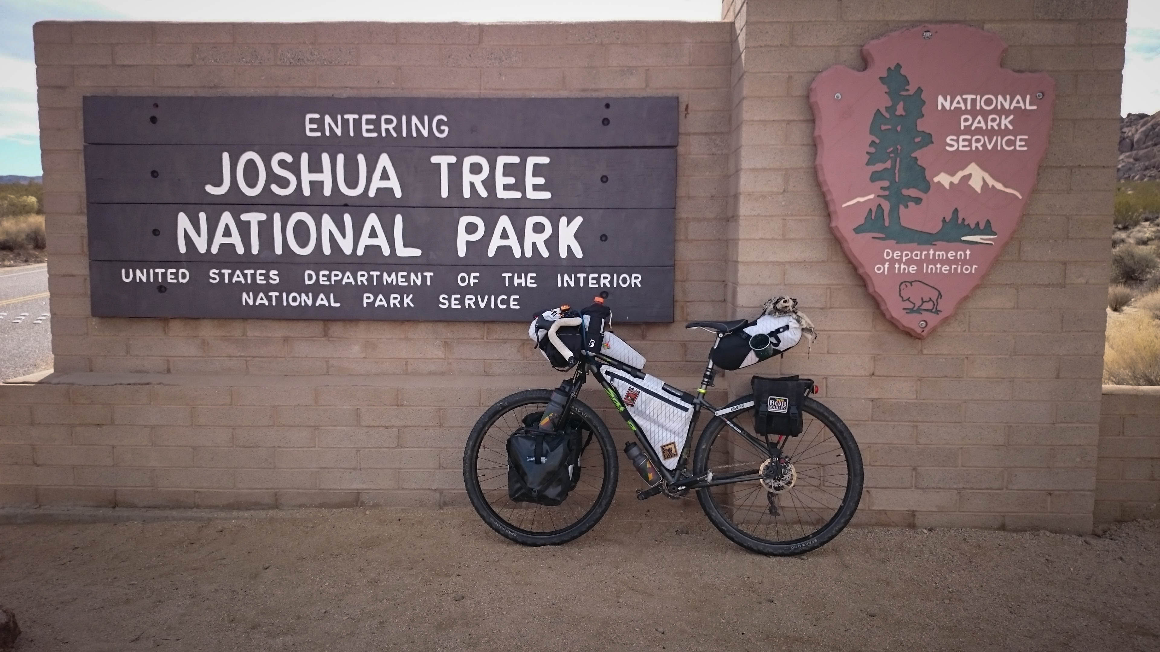
Unfortunately, the only thing close on route was a McDonalds and a liquor store. I ate several breakfast burritos, cleaned up in the bathroom, and was out the door. As I packed up my jacket a man came over and started questioning every single item on my whole bike. He had never seen anything like it, or heard of anyone riding that far, just for the fun of it. I rolled over to the liquor store, refilled my water, and bought a handful of Snickers bars. The entrance to Joshua Tree National Park was only a few blocks away. I needed to dry out a few pieces of gear and I wanted to see if they had any souvenir patches, so I stopped at the park store. As I was coming out, there were about 12 park rangers having a meeting about a coworker’s retirement and what statue they were going to erect in his honor. I packed up my nice, dry gear extra slowly so I could eavesdrop on the meeting.
Upon entering the park, I got to ride up a long straight road, baking in the sun. As soon as the road leveled out, the clouds rolled in to keep me cool for the rest of the day.
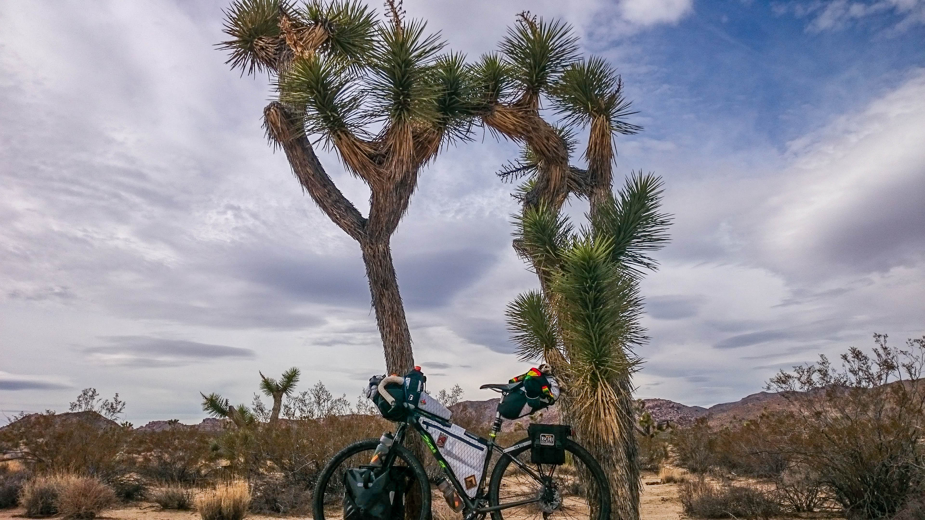
The Joshua Trees here look like they are maintained by a crew of landscapers. The ones I rode past in Arizona were bushy almost down to the base. The clouds rolled in thicker and quickly I was ready for the windbreaker as I was blasting down the hill through the park. 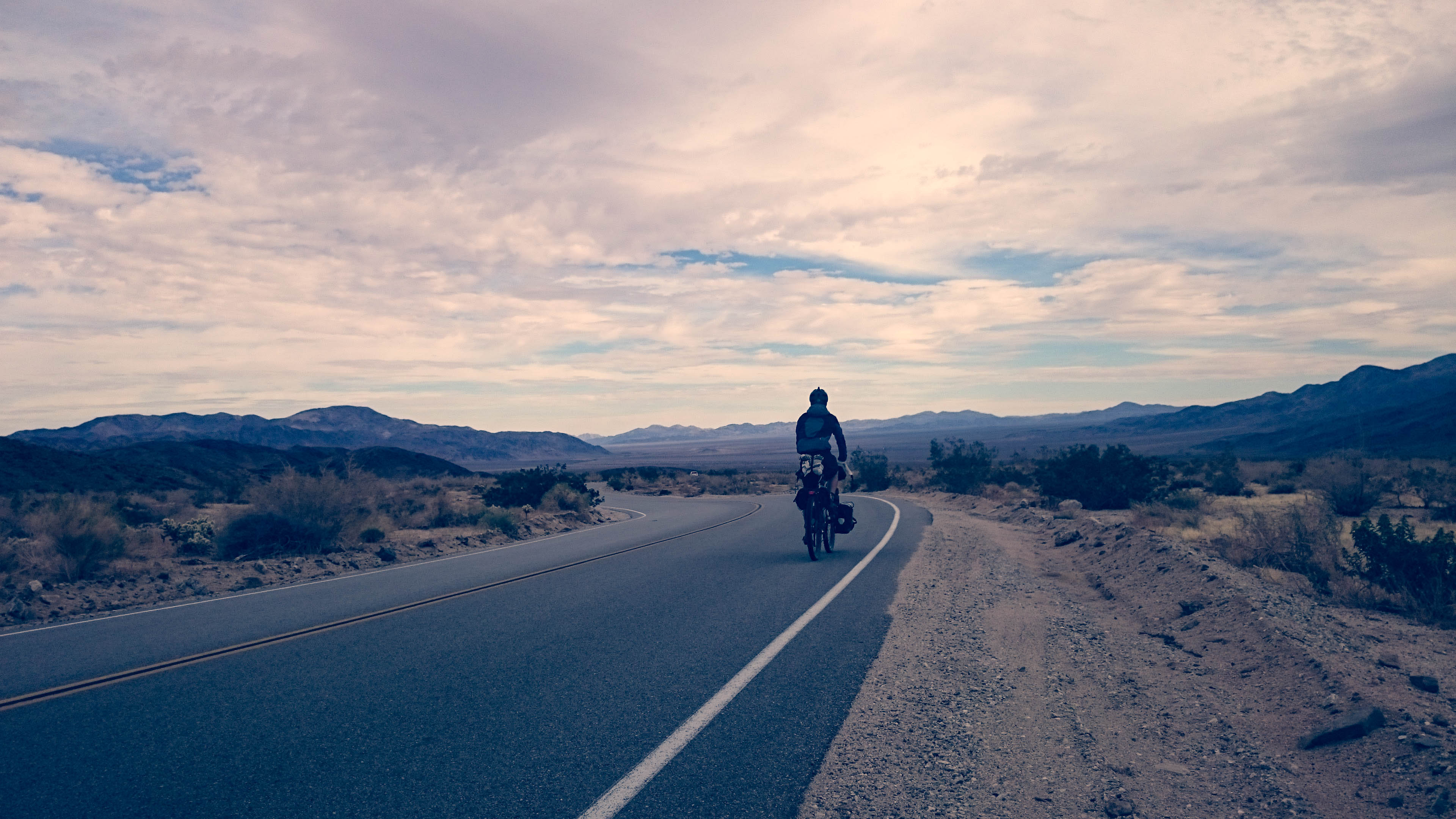
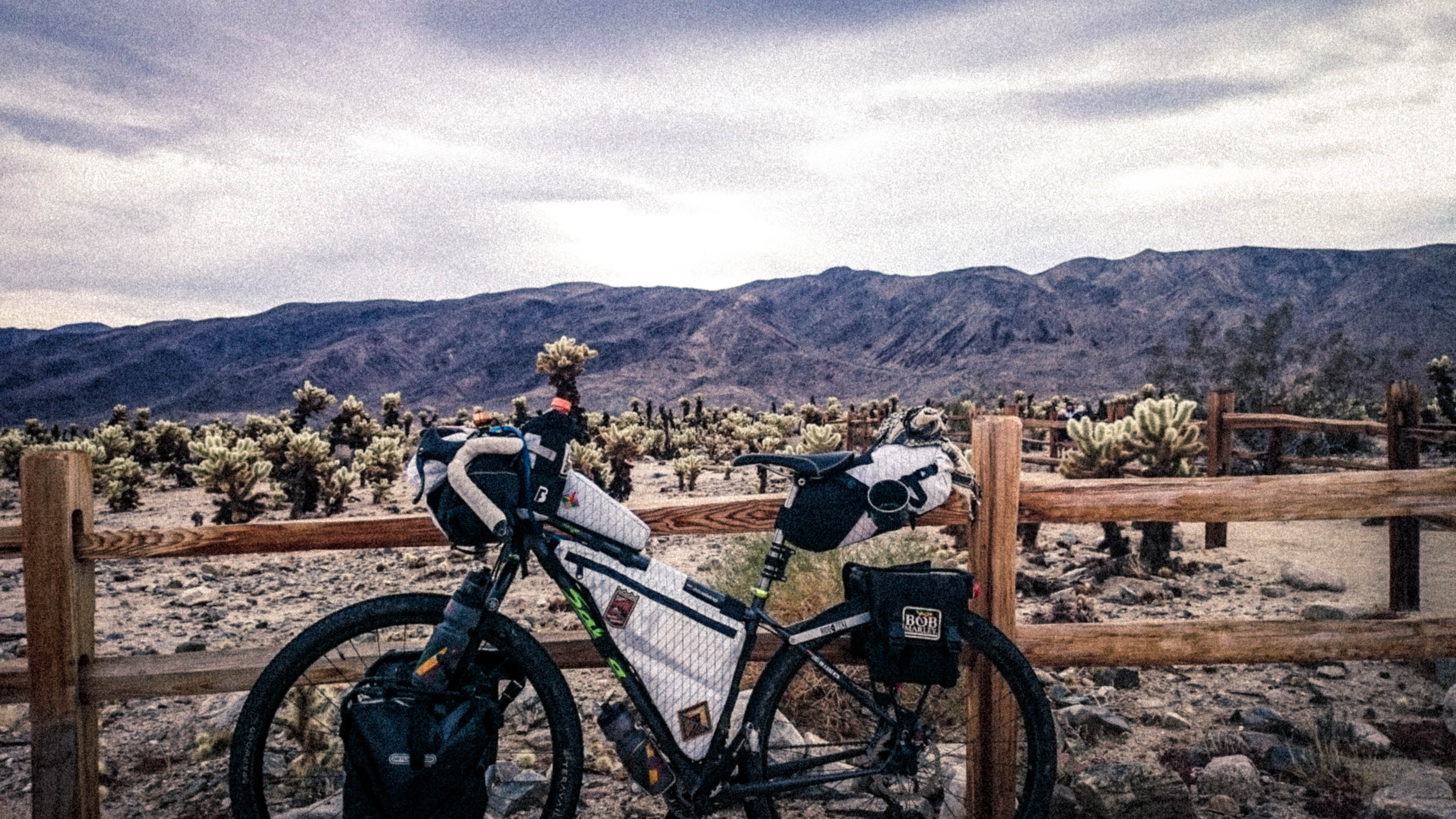
I opted not to ride through the Cholla Forest, instead only a quick pic safely on the other side of the fence.
The road through this nearly untouched wilderness was as pristine as could be. Definitely the smoothest section of the whole trip. 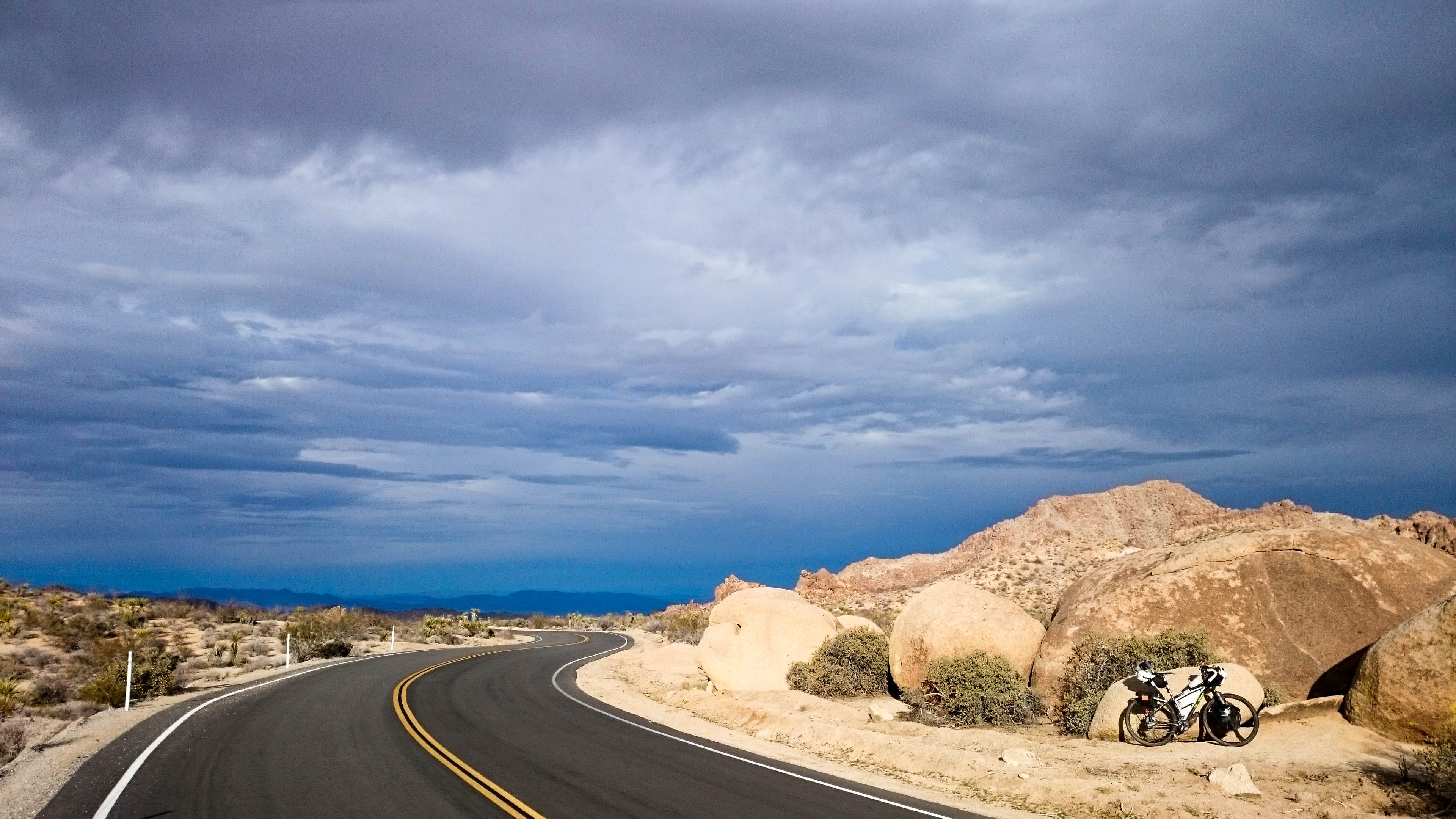
As I exited the park, smooth pavement turned rougher, but the hill was so steep, it was still a blast to fly down.
Time to cross the highway and begin looking for my campsite for the night. 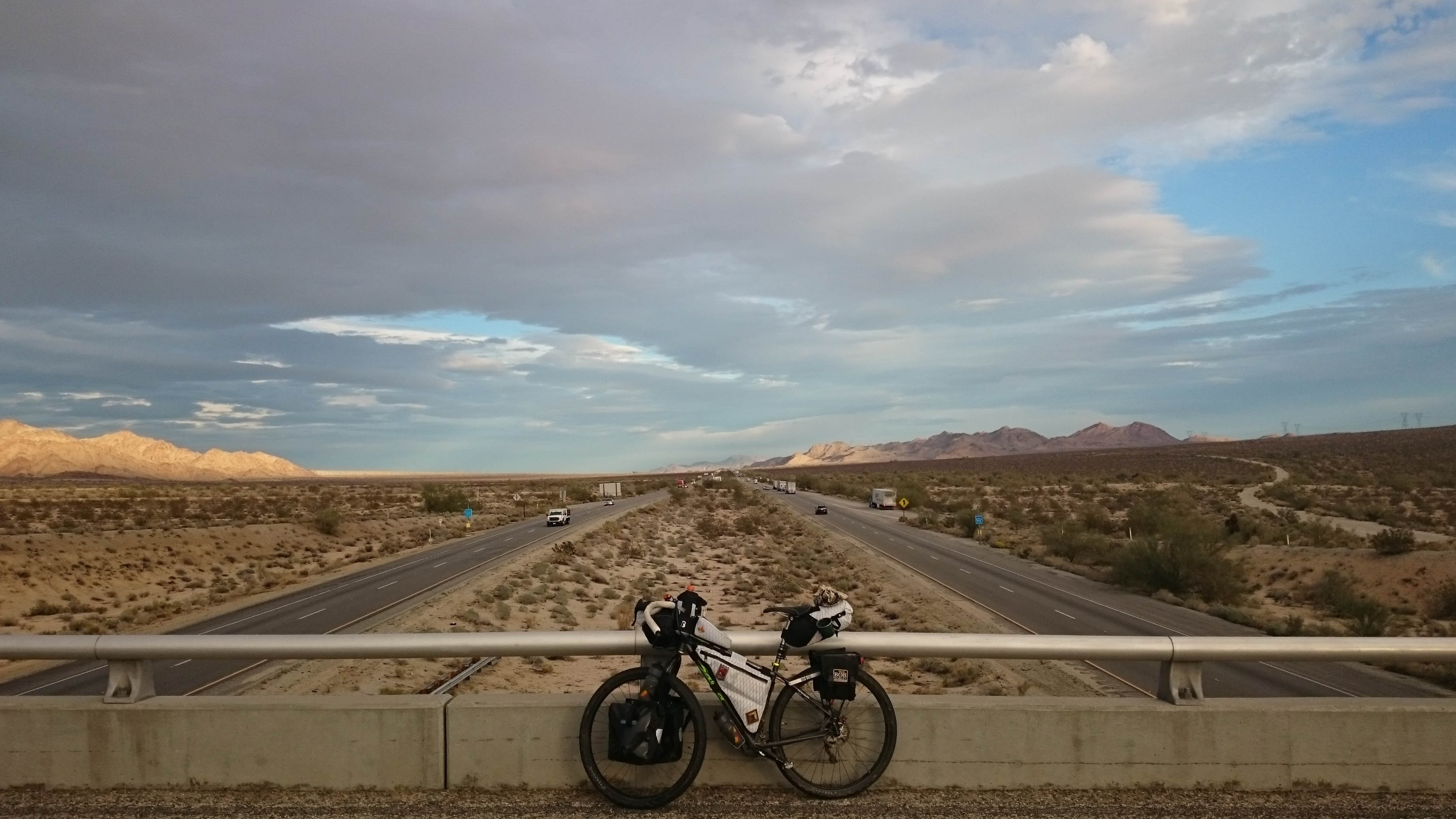
As I continued downhill, enjoying the end of a great day of cycling, the warm glowing sun began blasting me in the face. I thought back on how far I had come, and how well everything had gone so far. 4 days and I had ridden halfway across 2 states.
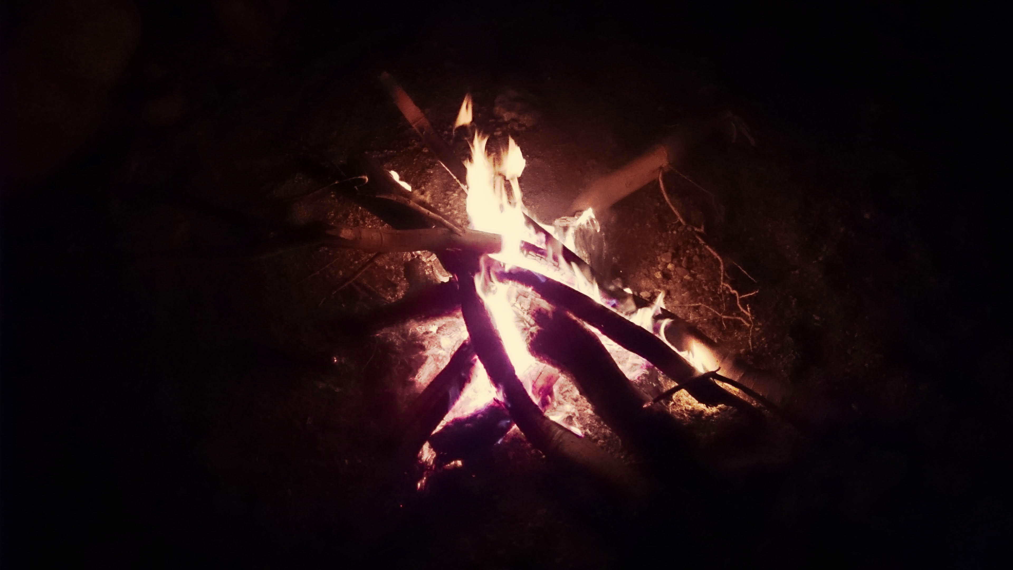
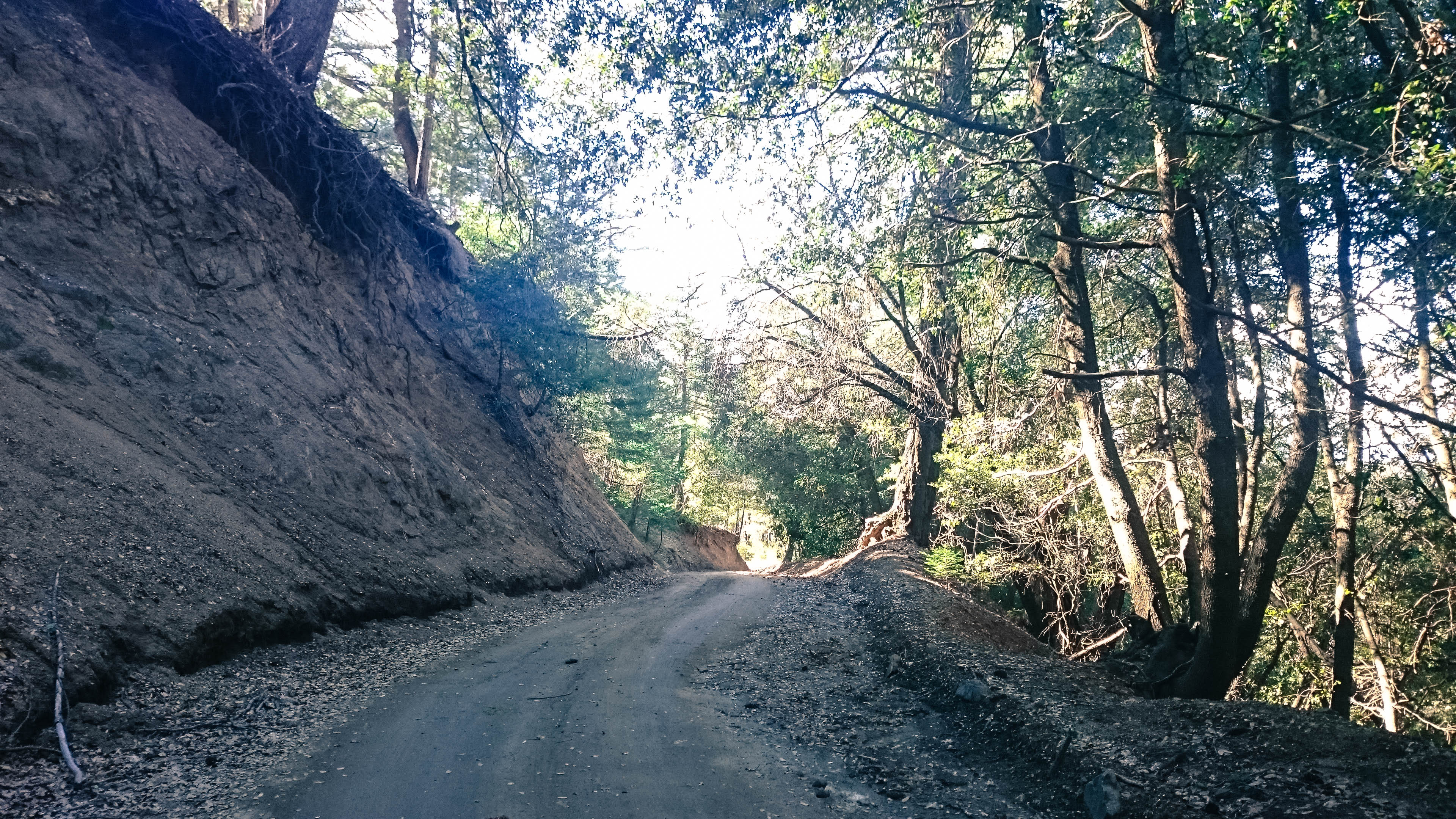
As I rode down, dirt walls grew around me. Suddenly, I was inside a box canyon, the perfect hiding spot for the night. I had scoped out a spot I thought would be good using Google Maps weeks before leaving. 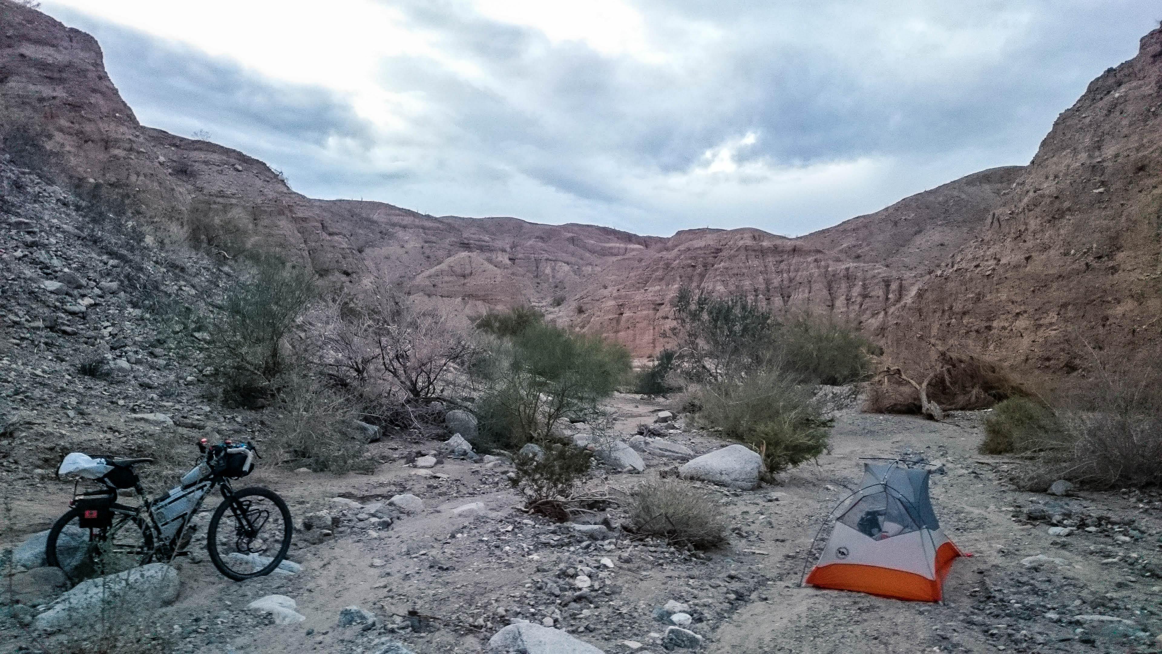 I was happy to learn that I didn’t even need to stealth camp, camping was allowed here and there was plenty of dead wood laying around to have the best fire of the trip. I dried out my feet, while I ate some Mexican Chicken and Rice topped with Cheezits for that gourmet flavor.
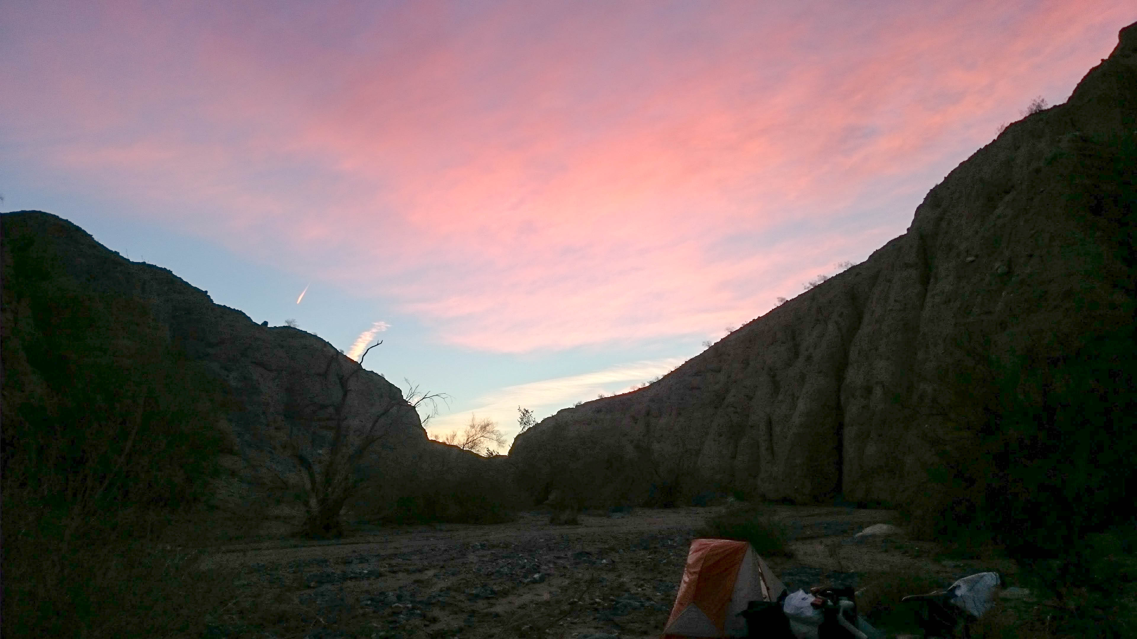
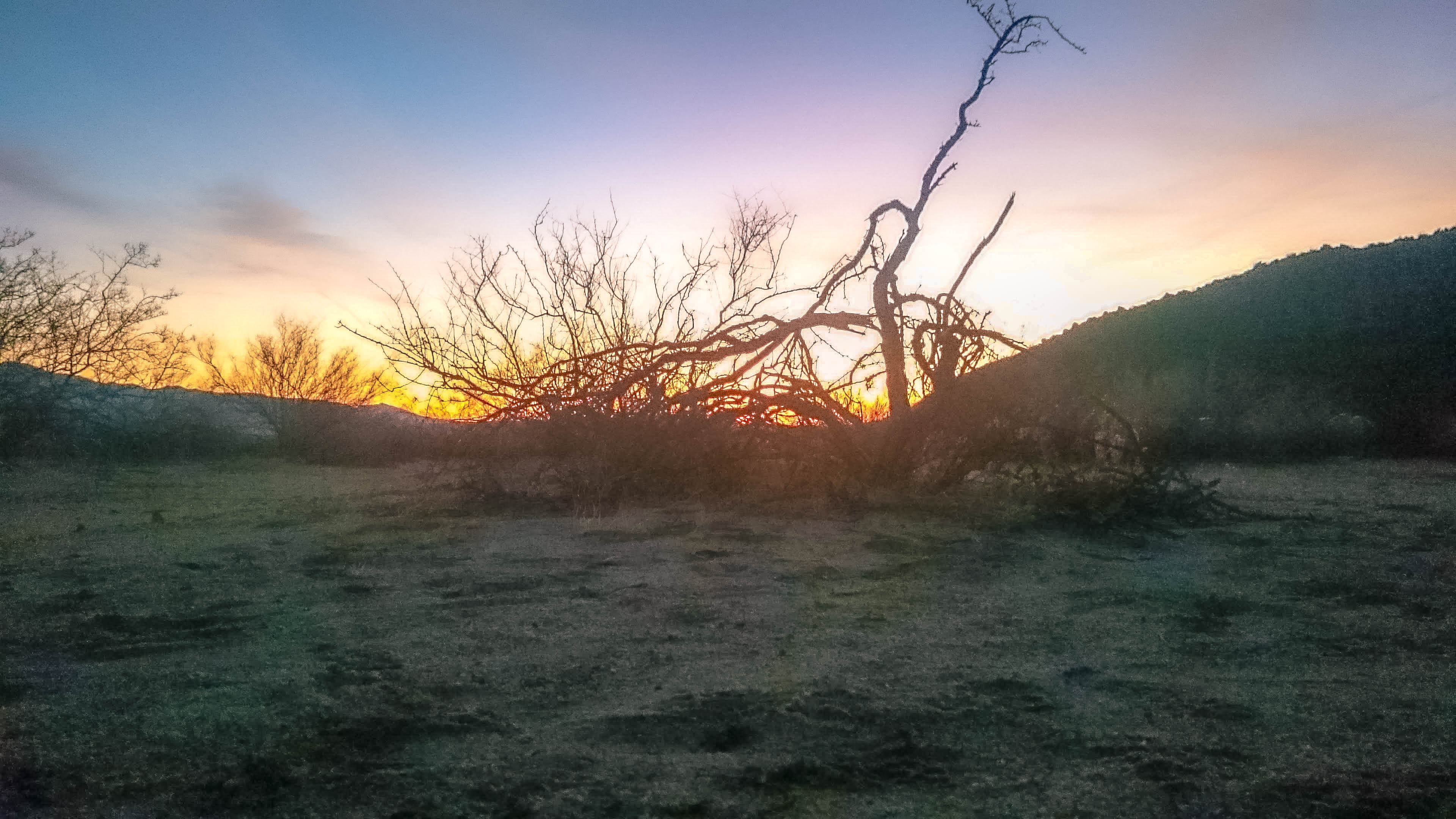
 The sound of rocks falling off the dirt walls haunted me all night. At one point, I got out of the tent to look at the canyon walls close to me to see if there were any rocks large enough they could do some damage. I didn’t see anything that would take me out, back to bed I went. In the morning, I woke up to a pastel sky.
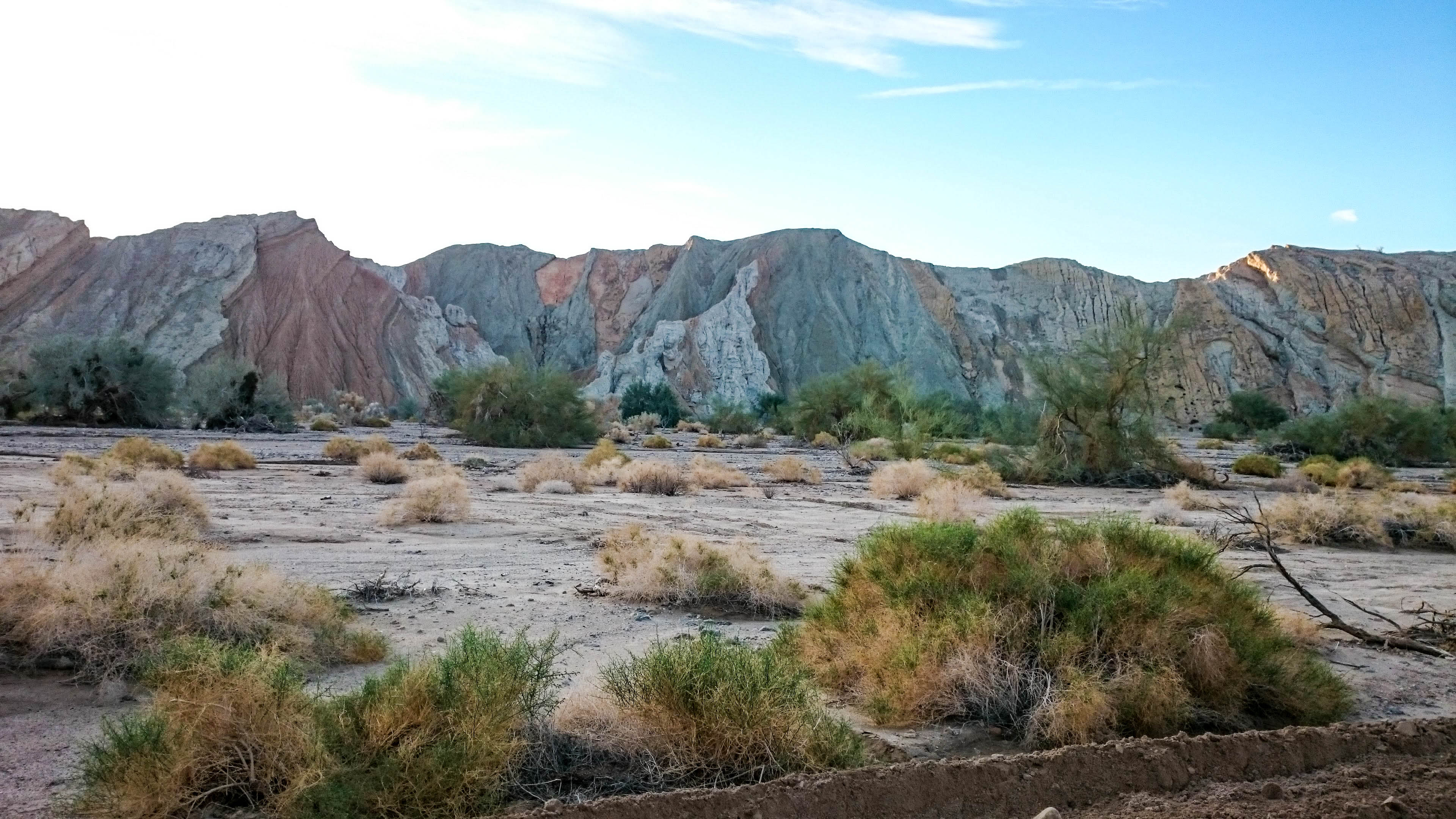
 I packed up my gear and hit the road pretty early. I rode through more of the canyon, the road at the same level as the sandy wash. This would be the perfect spot for a road bike/ fat bike relay race. The eroding sand looked like it had been painted in pinks, blues, and yellows.
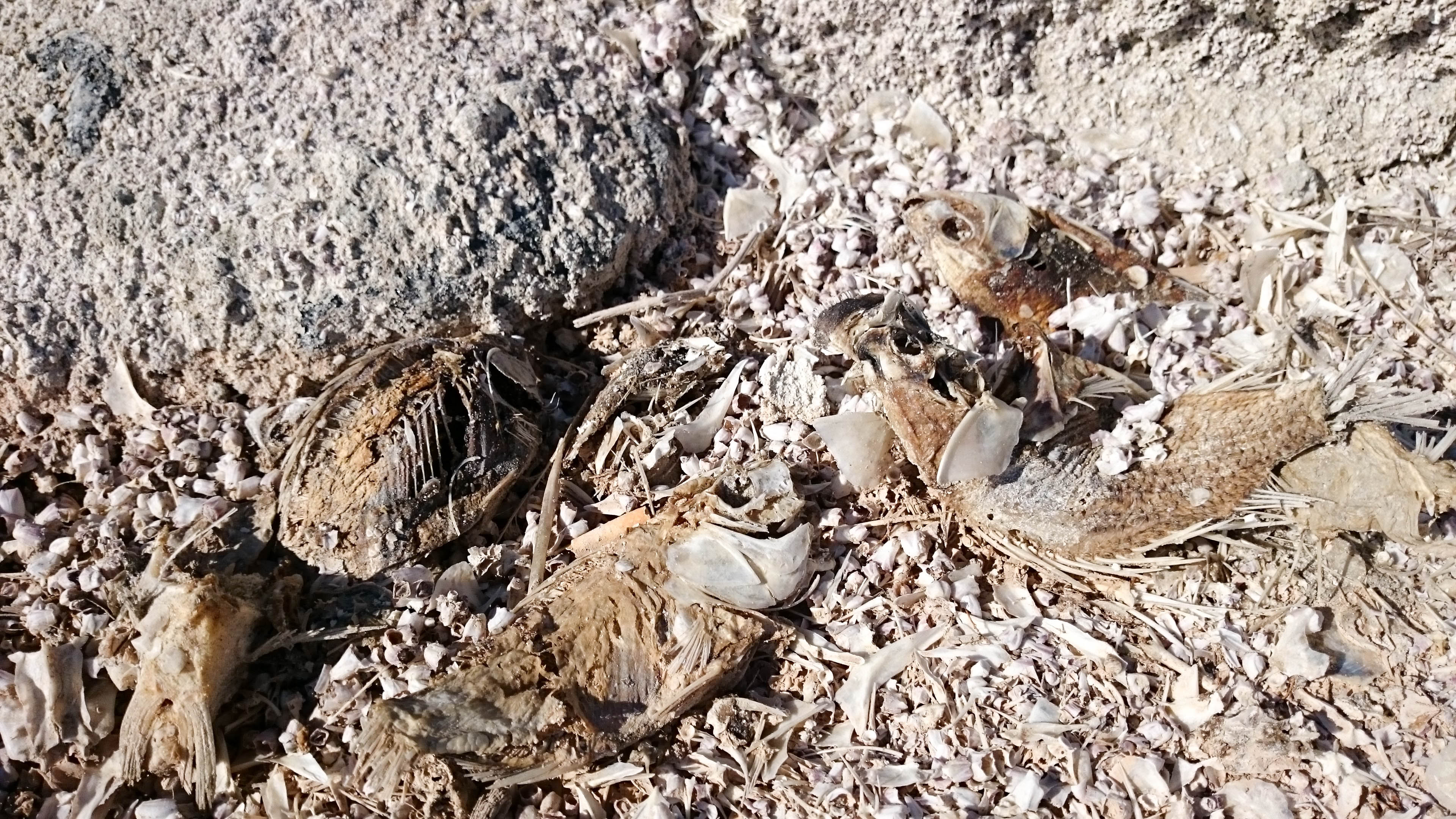
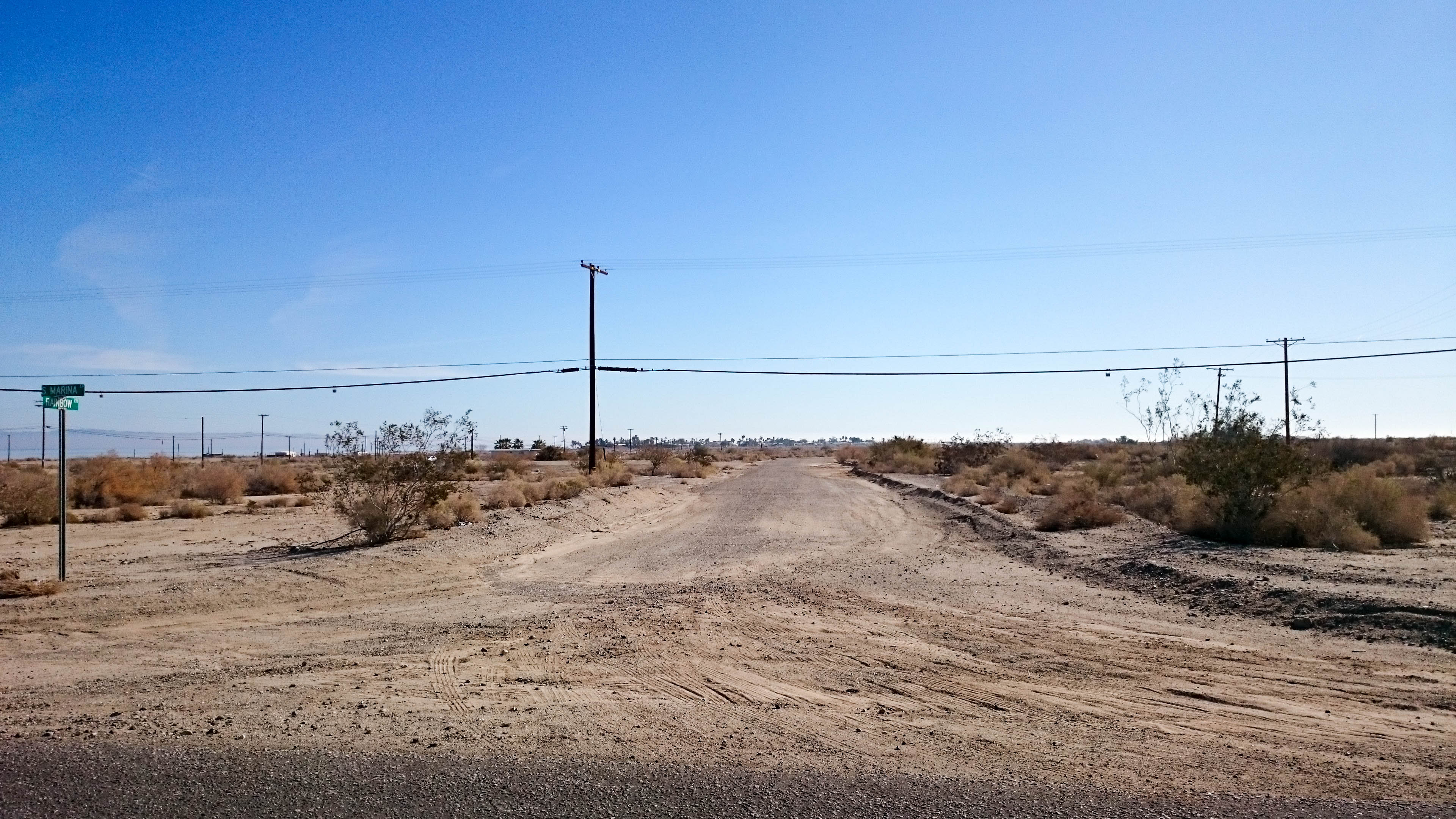
The box canyon walls gave way to flat land again, now I was headed below sea level to the Imperial Valley. After living in a mile high city for the last couple years, breathing the air down there was like breathing oxygen soup. Passing through fields of fruit trees, I was over come by the sweet stench of rotting fruit that had hit the ground. After a refill at a truck stop in Mecca, I blasted my way towards the Salton Sea. 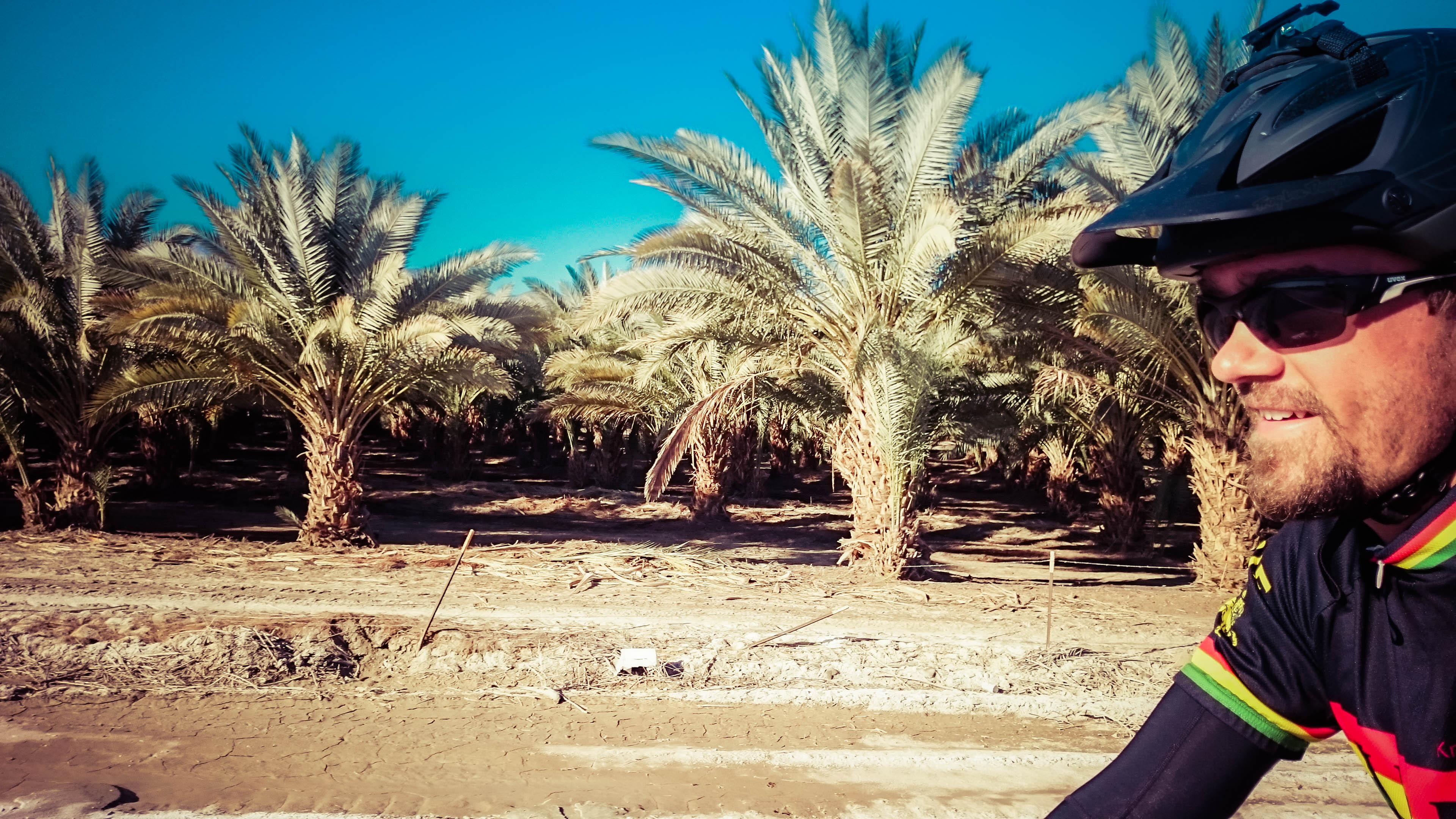 As I approached water line, the smell of fruit faded into the smell of dead fish. I am glad I was slowly introduced to the smell as I got closer and closer, to have been placed right in the middle of it may have been too overwhelming. The sandy beaches had been replaced with endless fish bones that crunched under your feet with each step.
 Every once in a while, you could spot one fish that hadn’t completely decomposed yet.
 The Salton Sea is an eerie place. It was once hailed as a premier vacation spot for Souther California’s desert dwellers.
 Huge neighborhoods had been planned, but after flooding and subsequent drought, only a few handfuls of people stayed to put up with the dreaded stench. Now there are dozens of gravel streets going no where, empty lots everywhere, and only one nasty store to buy some snacks.
 I pulled away from the general store and made my way through the Anza-Borrego Desert. The Ocotillo Wells off road area was in the distance.
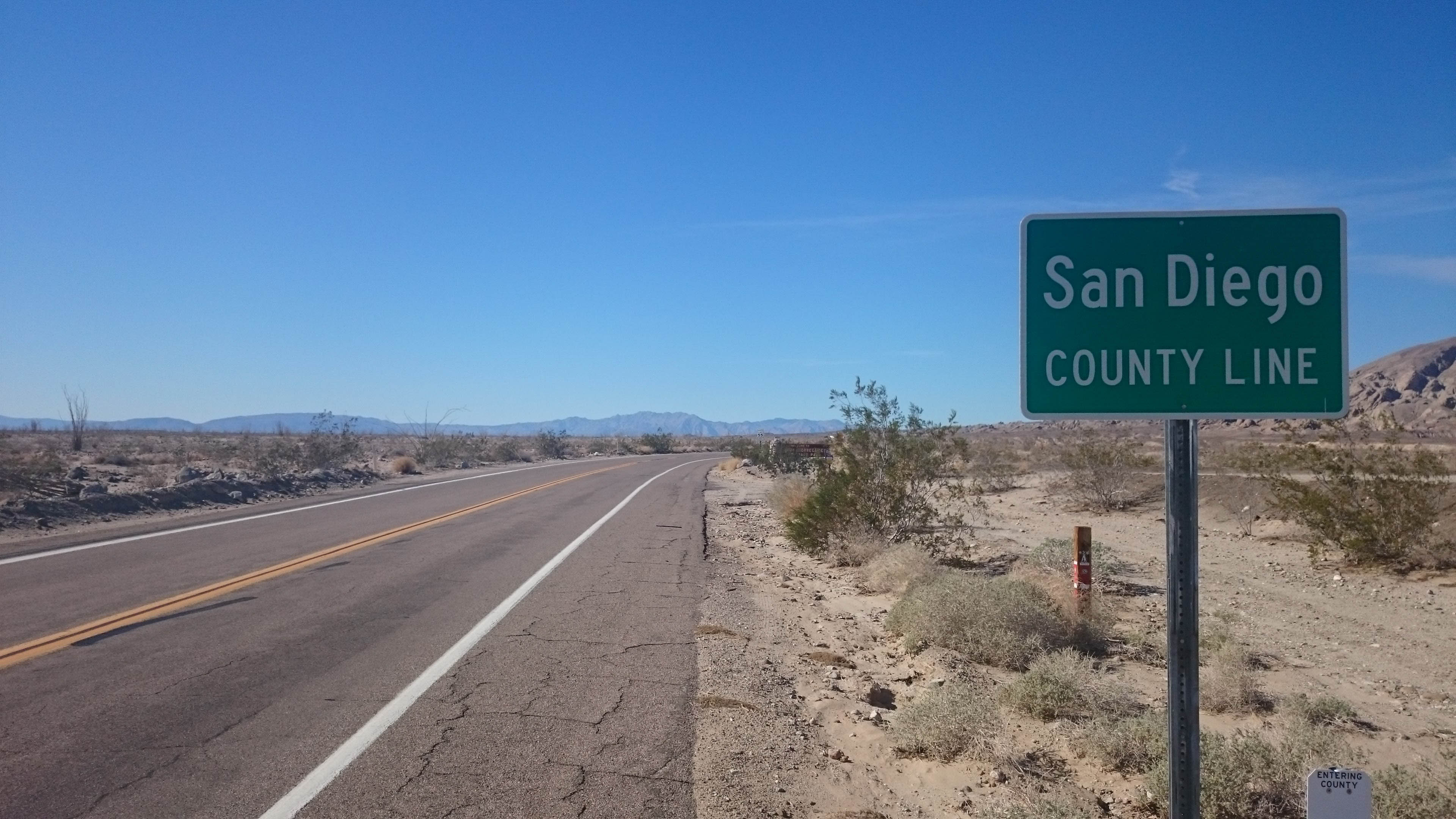
 This had to be one of the hottest days of the whole trip. Now in the last county of my journey, I couldn’t wait to see the Pacific, but there was still a long way to go.
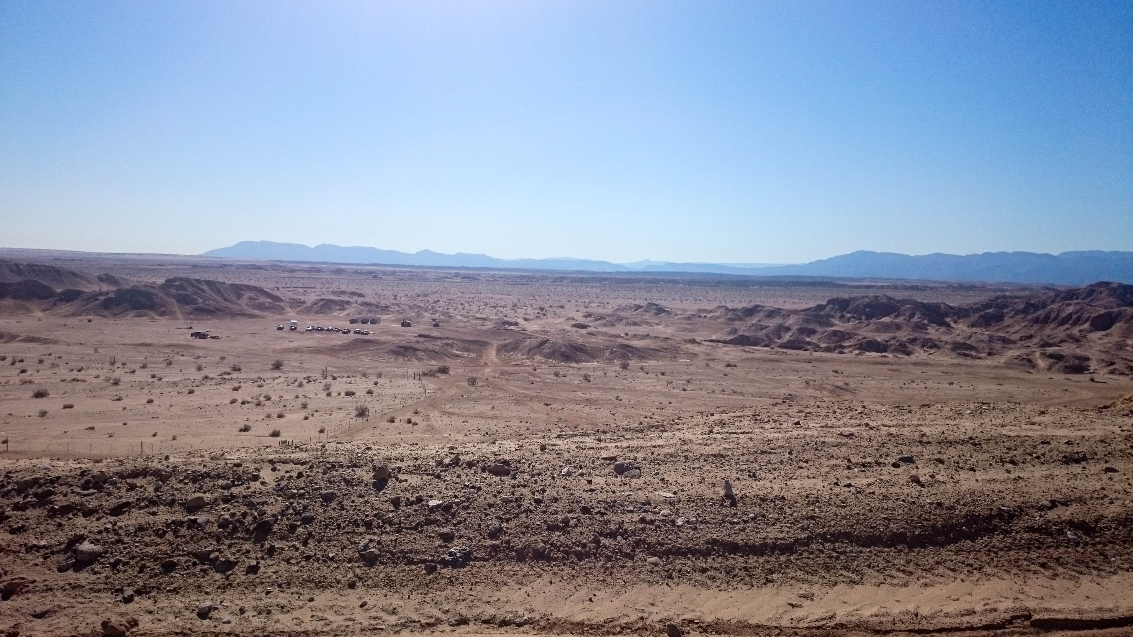
 The Anza-Borrego was one of the most desolate landscapes I encountered the whole time I was on the road. There were places I couldn’t see any vegetation at all, and wondered what kinds of slithery things could make a home here.
 I was inspired to keep moving and make it to camp. I had heard that Francois and Deborah were coming to Borrego Springs to meet me for dinner. After glancing at their Facebook posts, I knew they were right on my tail, but I wasn’t about to let them beat me there.
 I made it to the Borrego Palm Canyon Campground and ended up being the only person at the Hike and Bike campsite.
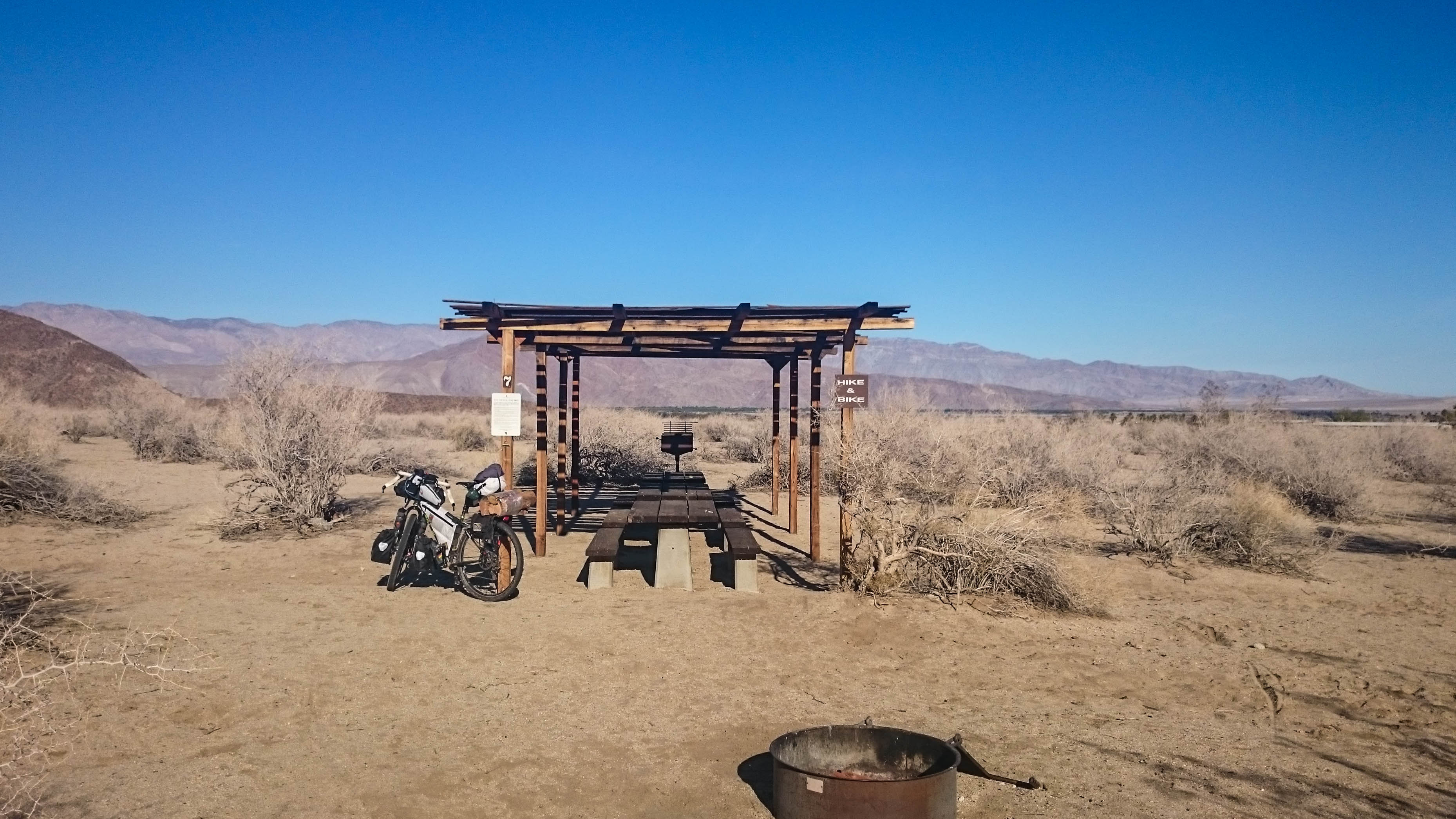
No picking up twigs today, I had real wood for a fire now.
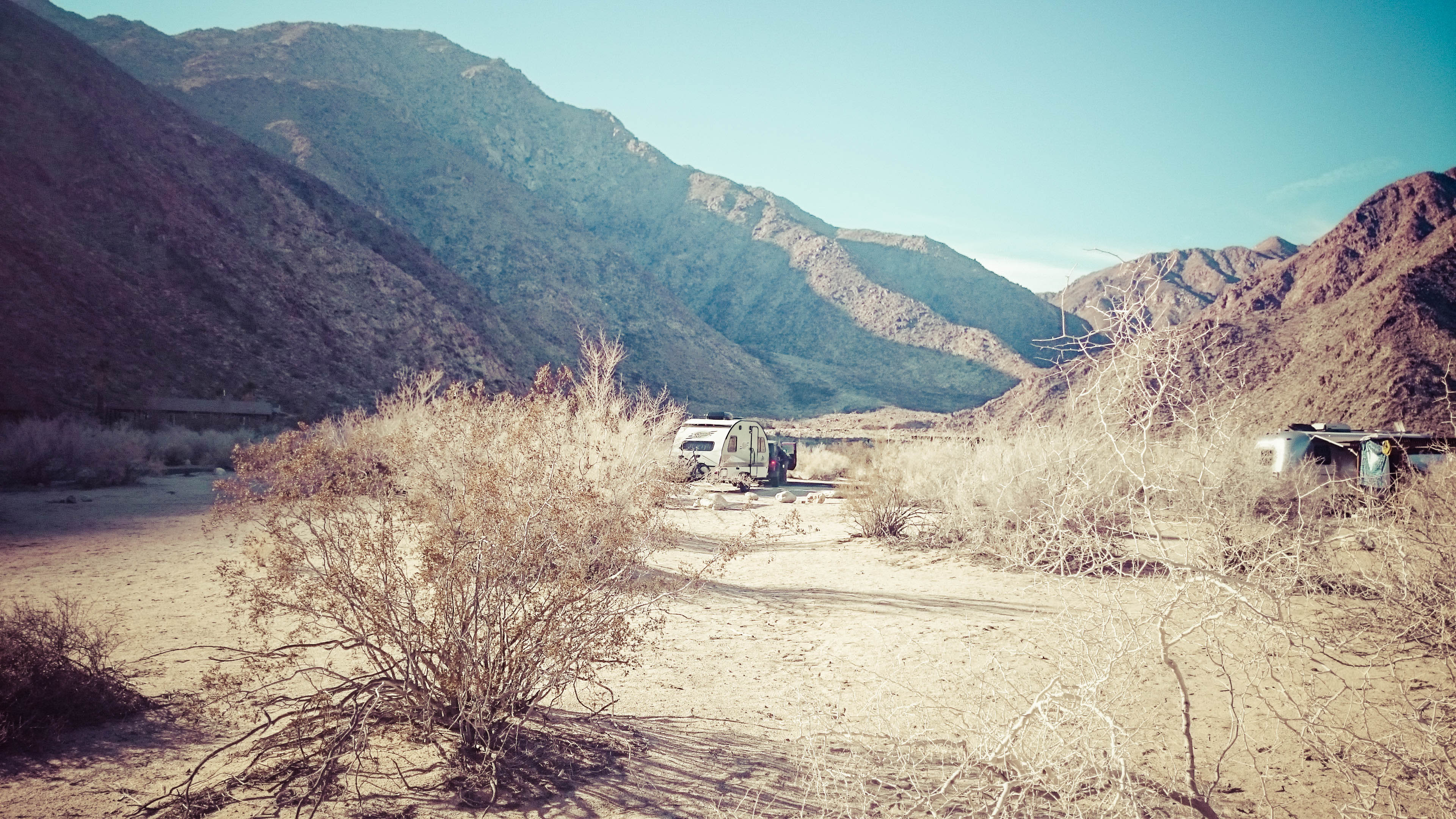
 No sooner than I pulled into my campsite, these Blue Dot Stalkers had pulled into the campsite just across the road from mine. After saying hello Francois and Deborah made a quick beer run while I enjoyed a long hot shower. I also took this opportunity to wash some clothes so I would have something clean for the next day. I draped the wet socks and shorts over my bike and hitched a ride with the Blue Dot Stalkers. First we tried to get a bite to eat at a mid century hotel, but the dinner spread didn’t look like it would satisfy, and dinner service would start for another half an hour, so we headed back in to town to the local’s favorite restaurant.
 The steak dinner was excellent, it had to be, considering it was the first real dinner I had eaten in 5 days. Over dinner we discussed how the trip had been going so far and what the next two days had in store. We drove back to the campsite and enjoyed a bit more discussion next to the campfire until it was time to get some rest. In the middle of the night, I wandered over to the restroom. In this case, it was a 2 stall structure, but there was no roof. I have never seen this type of arrangement before, it was like a civilized way to do your business under the stars.
I was awake very early, excited to start the biggest climb of the trip. I packed up my things while the sun was still coming up. I could here camper doors and saw Francois and Deborah were up and about. I stopped by to bid them farewell and thank them again for filling my belly the night before.
 On the way to camp, I had neglected to stop at the last gas station in town to pick up any food, so I had to start the day with a ride back down to Borrego Springs. I bought some water, donuts, and a coffee and I was ready to begin my ride up “the glass elevator.”
 This climb takes you from 750′ to 4200′ in 12 miles. Nothing too steep, I just slogged away in an easy gear while I munched on donuts.
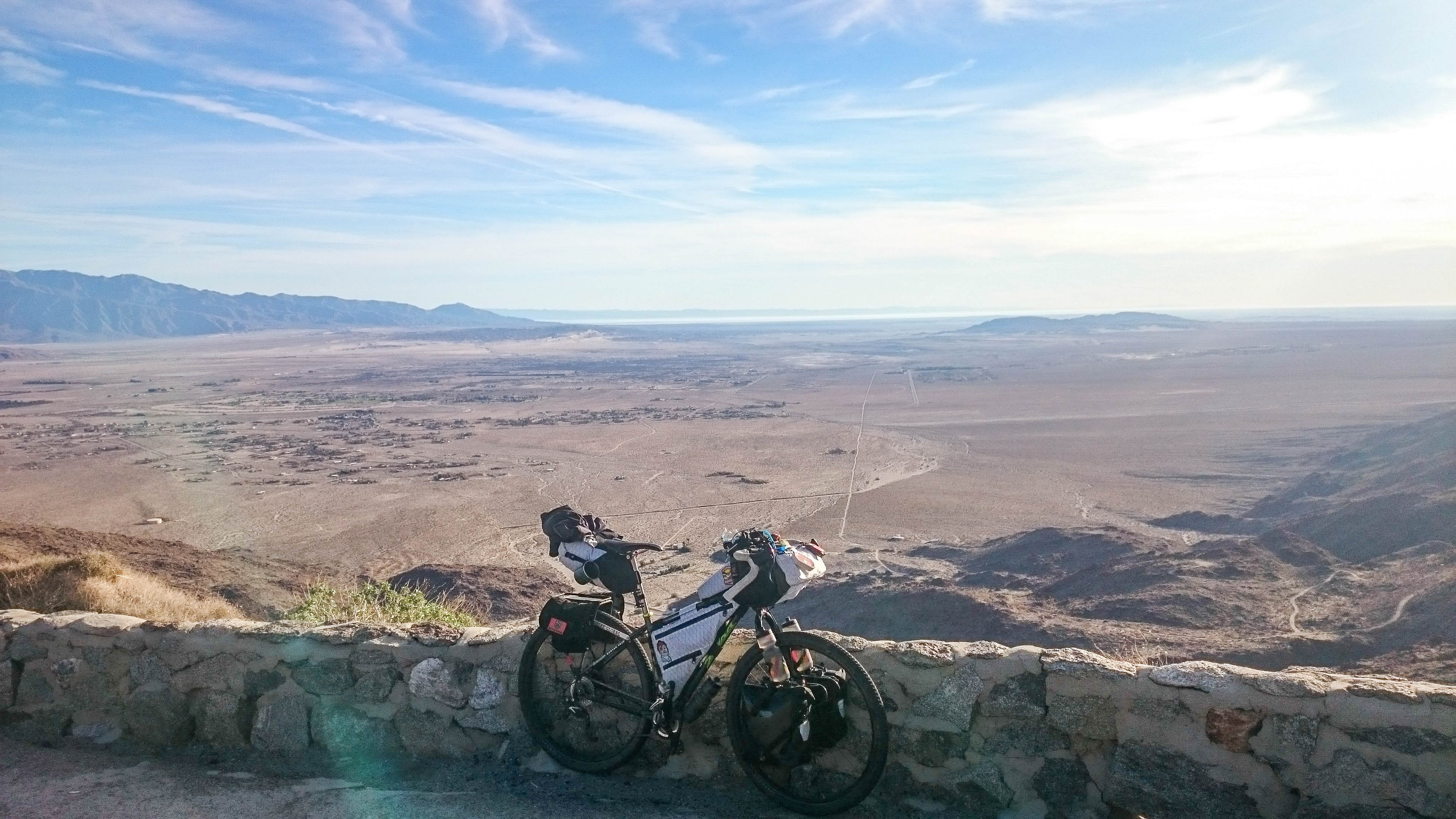
 There was only one little rest stop, so I snagged a shot of the Salton Sea fading away in the distance.
Much earlier than I expected, I had made it to the top of the day’s first big climb.
 The only store I would pass in the first part of the day was a tiny little general store in Ranchita. I arrived there around 10am only to find they didn’t open until 2pm. A quick check of supplies assured me I had just enough to make it to the top of Palomar Mountain where I would find my next refill.
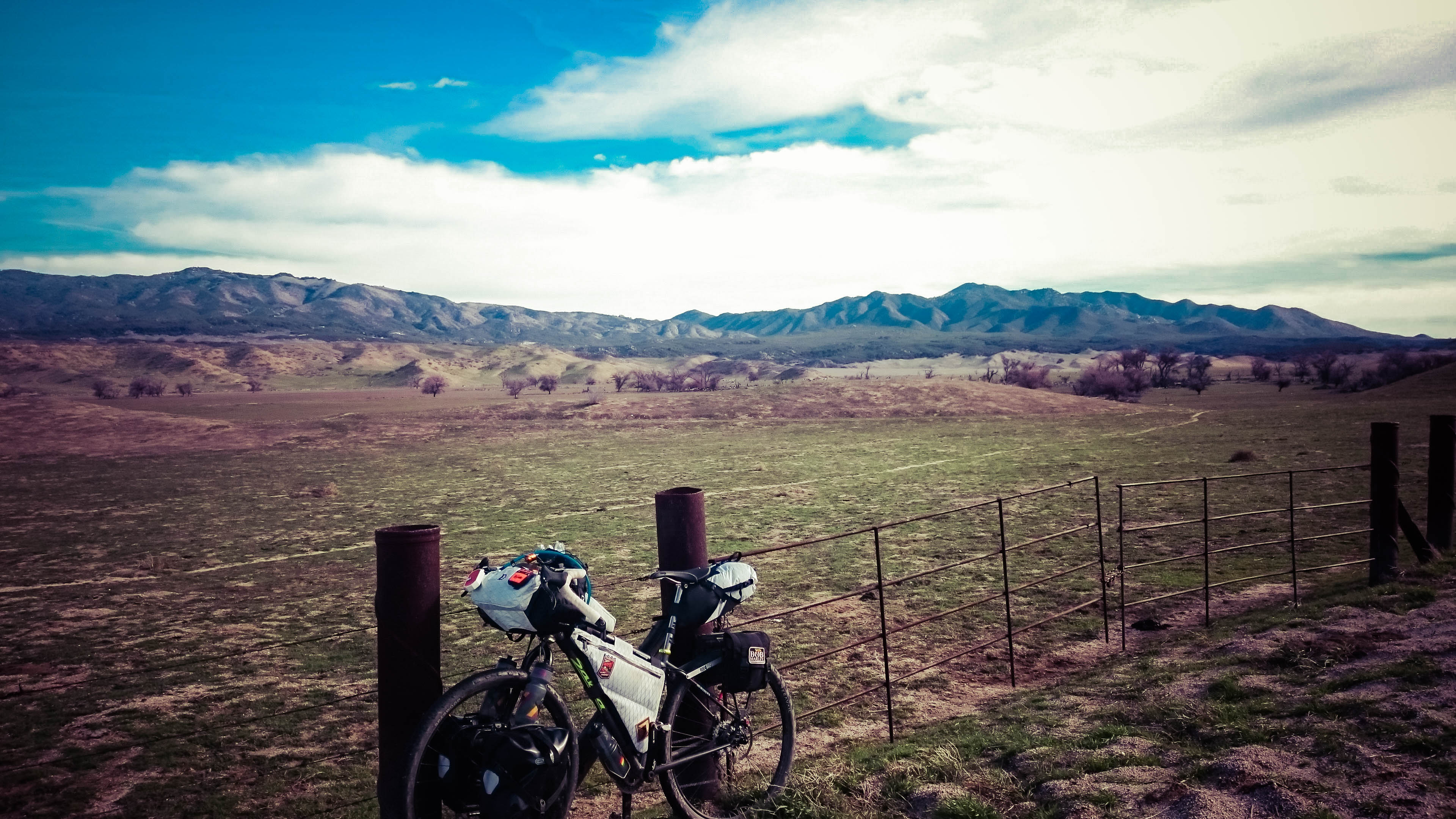 The scenery was a complete change from the day before. Instead of a hot, dry, wasteland, I was rolling through green, grassy valleys. Oceanside was getting closer.
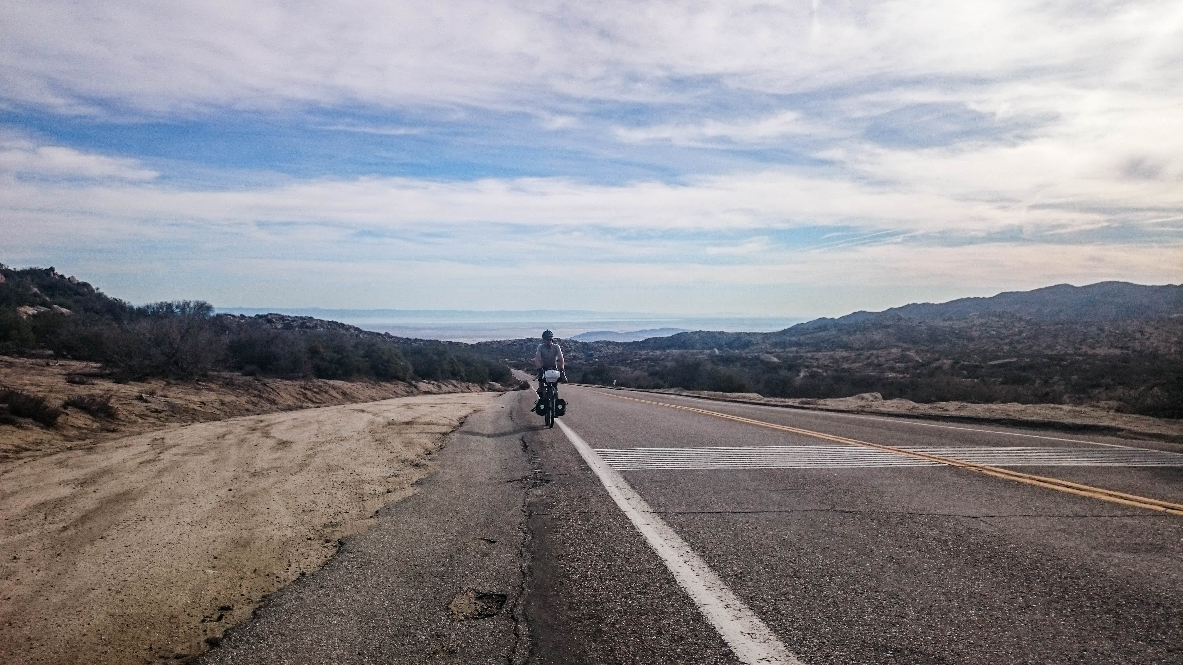
 After pulling my bike back onto the road, I noticed there were dozens of goat head thorns all over my front tire. I was a bit worried it might go flat, but the sealant did an excellent job of keeping the air in. The climb up Palomar Mountain’s East Grade Road had some pretty spectacular views of the valley below.
 In no time, I was back amongst the pines. The climb up to the top of Palomar Mountain wasn’t nearly as steep as the climb up the “glass elevator,” but I was getting pretty hungry by the time I arrived at the general store. I chatted with another cyclist a bit and figured out my route to the gravel descent into the Pauma Valley.
 I made it to the road that would take me into camp for the night around 1pm. The next 50 miles were almost all downhill to coast. After verifying I could stay at a friend’s house in Oceanside a night early, I was screaming down the route to the beach.
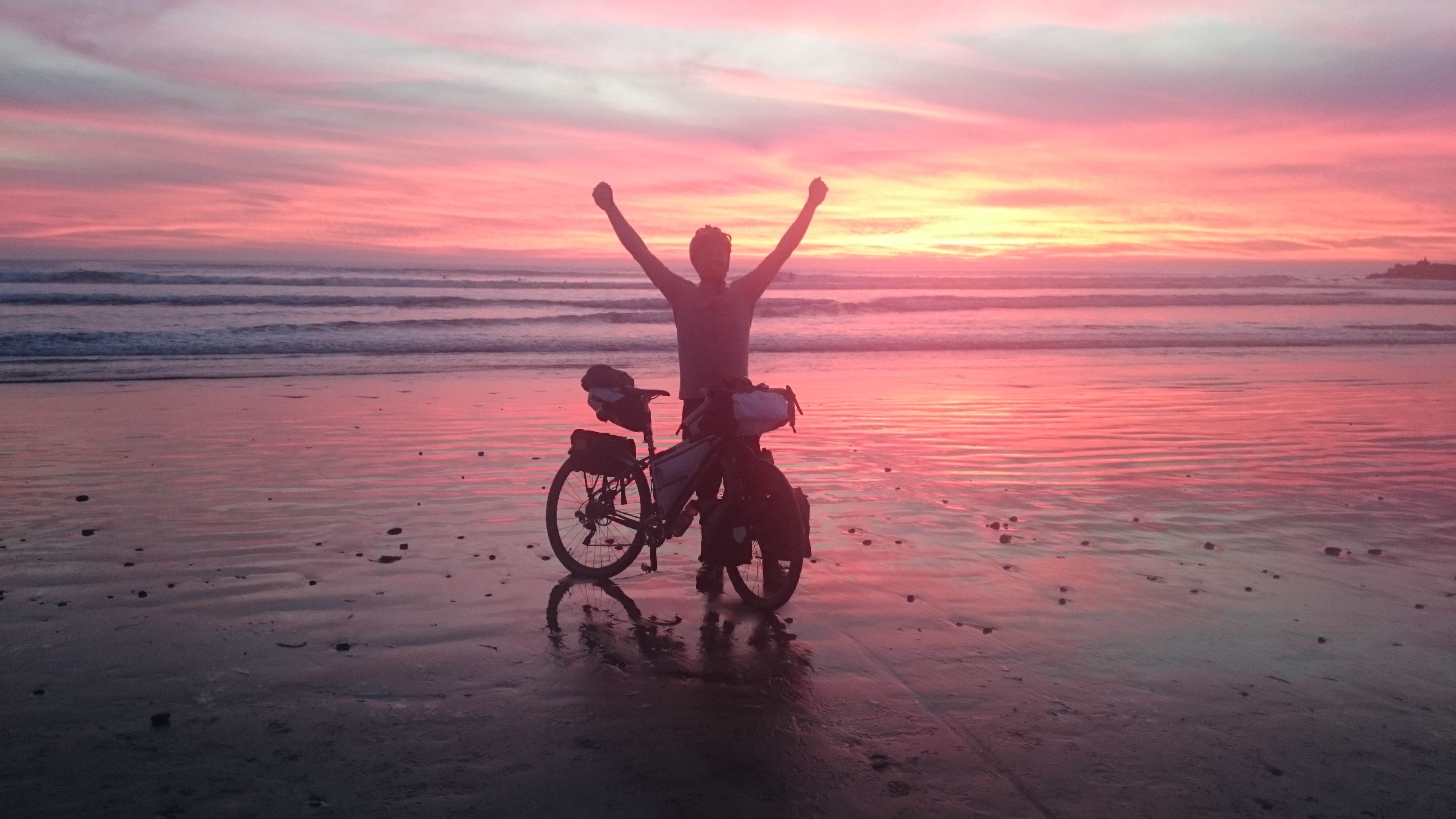
 I would have to average 10mph if I were to make it to the water by sunset. This should have been easy, but there were still a few really steep hills to climb, and heavy traffic made the route pretty treacherous. I ran into convenience store to grab a Snickers and a beer for the finish and I was off on a mad dash to the coast. The sun was about to set when I turned onto the San Luis Rey River trail. 9 miles to go. I was racing down the path at 20+ miles an hour trying to make it. The clock was ticking, the sun had already set and I knew the colors were about to fade into darkness. I came around a corner and there was the Pacific, reflecting the most beautiful scene back at me. I ran my bike through the sand to some tourists about to go on a sunset stroll down the beach. I interrupted them and asked if they could take my picture. They obliged and I ran off into the wet sand. 500 miles in 6 days to the perfect photo finish.
When I went back to get my phone, they began questioning where I had come from, and couldn’t believe how quickly I had made it all the way from Prescott. I thanked them and sat down to enjoy the celebratory Pabst I had picked up earlier, before rolling down to Oceanside Pier for some amazing fried seafood dinner.
I still had an 8 mile ride to my friend Matt’s house, so there was just enough time to make some room for a sandwich at Chic-Fil-A just before making to my stop for the night. Matt’s wife Angel and their son Eli were outside waiting for my arrival. She escorted me to a much needed shower. I cleaned up just in time for Matt to get home and the story telling began. After a long ride and a two dinners, I was ready for bed.
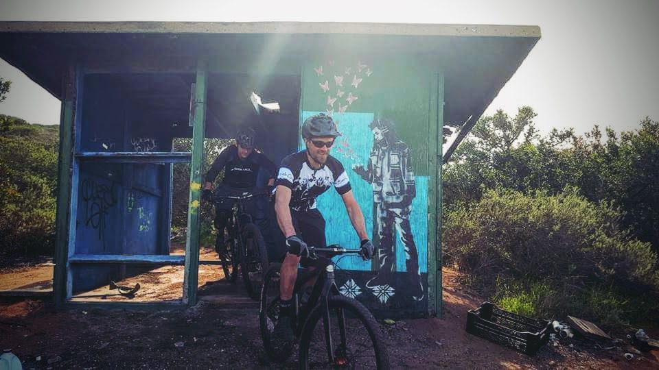
The next morning, we had some breakfast and decided to ride some singletrack at Matt’s local trails. I got to borrow Matt’s 18 pound Singlespeed, and shred some good old San Diego dirt. Good Times!
This was an amazing trip. I rode farther than I ever had before, went places I had never seen, and made it to Oceanside without any issues. I didn’t want to see this adventure end, but I was inspired for the next big ride, just around the corner.
Ride Details
Day 1
Max elevation: 6959 ft
Min elevation: 1168 ft
Total climbing: 4521 ft
Total descent: -8652 ft
Total time: 11:38:53
Day 2
Max elevation: 1647 ft
Min elevation: 108 ft
Total climbing: 3140 ft
Total descent: -3642 ft
Total time: 11:50:24
Day 3
Max elevation: 2326 ft
Min elevation: 715 ft
Total climbing: 3045 ft
Total descent: -2635 ft
Total time: 07:53:07
Day4
Max elevation: 3927 ft
Min elevation: 830 ft
Total climbing: 4751 ft
Total descent: -5194 ft
Total time: 09:47:54
Day 5
Max elevation: 982 ft
Min elevation: -262 ft
Total climbing: 2627 ft
Total descent: -2561 ft
Total time: 07:47:33
Day 6
Max elevation: 4988 ft
Min elevation: -277 ft
Total climbing: 9988 ft
Total descent: -11028 ft
Total time: 12:46:05
Have some questions or comments? Feel free to leave some.