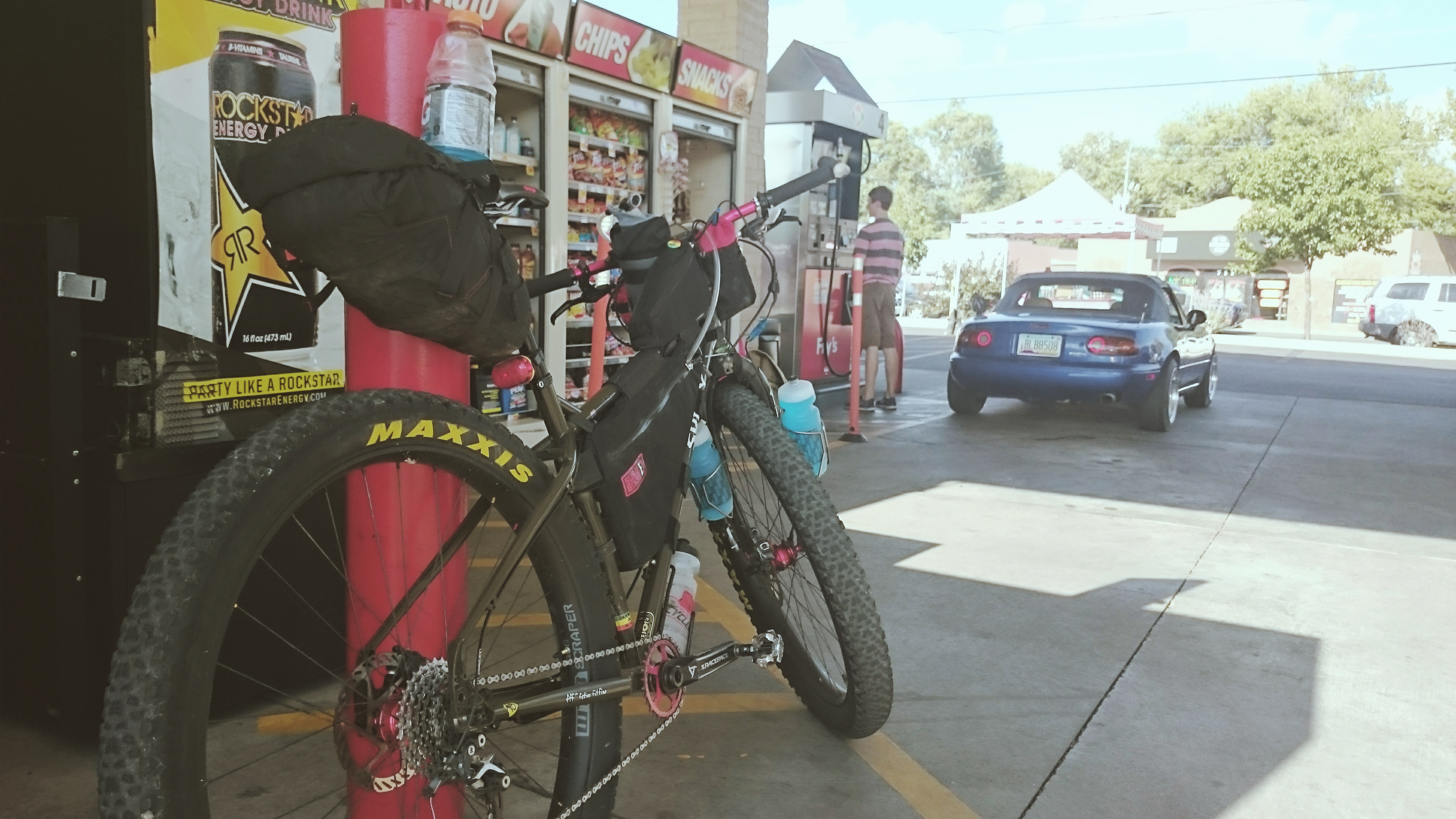
I was hoping to ride to Crown King this weekend, but after learning the Rattlesnake Fire had the road from Crown King to Cleator closed, I quickly put together a different route over Mingus. I left work an hour early on Friday so I could get to Jerome before all the restaurants had closed for the night. Time to get some Gatorade. 4:00 and counting.
Once I was fueled up it was time to head over Rosser Rd. and jump on to the Peavine. The Peavine Trail is an easy old railroad grade with some great scenery.
Time to hop the fence and carry on.

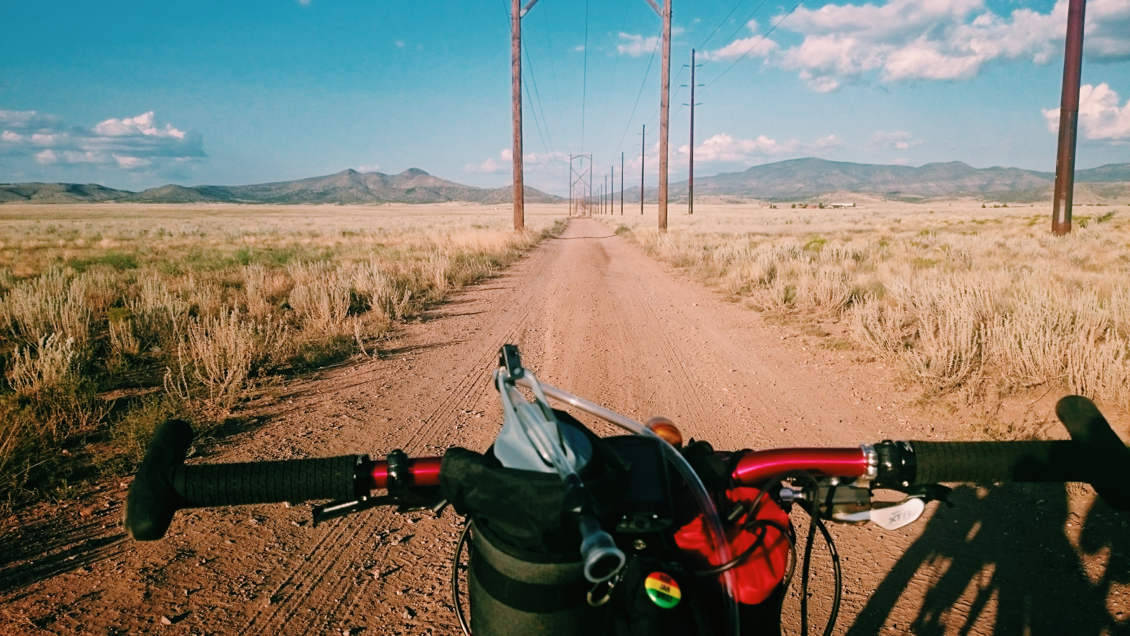
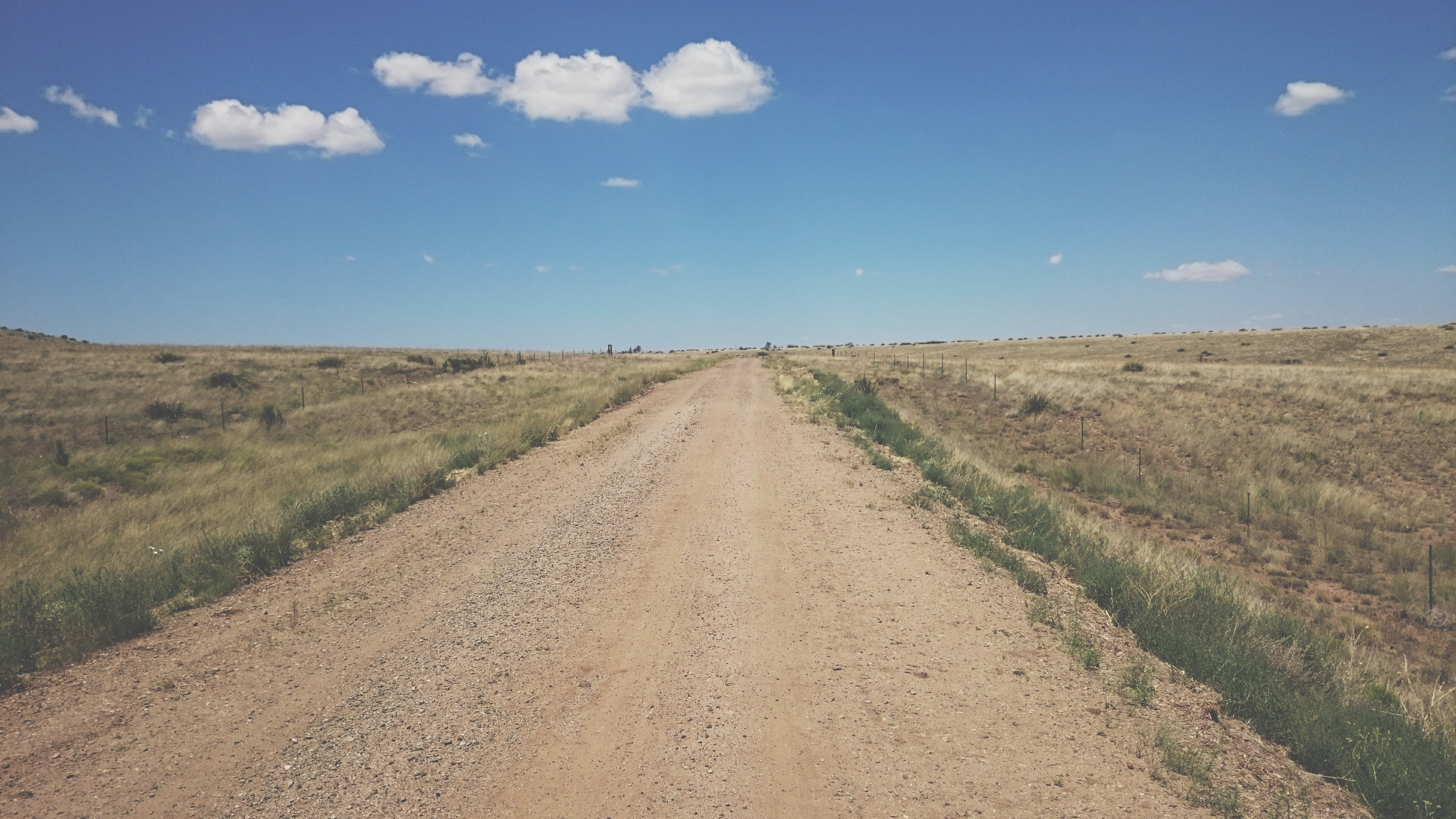
Power line road for miles and miles
As I rode around the north side of Mingus Mountain, I got to watch the sunset for an eternity.

Night view of Cottonwood.

The Haunted Burger.

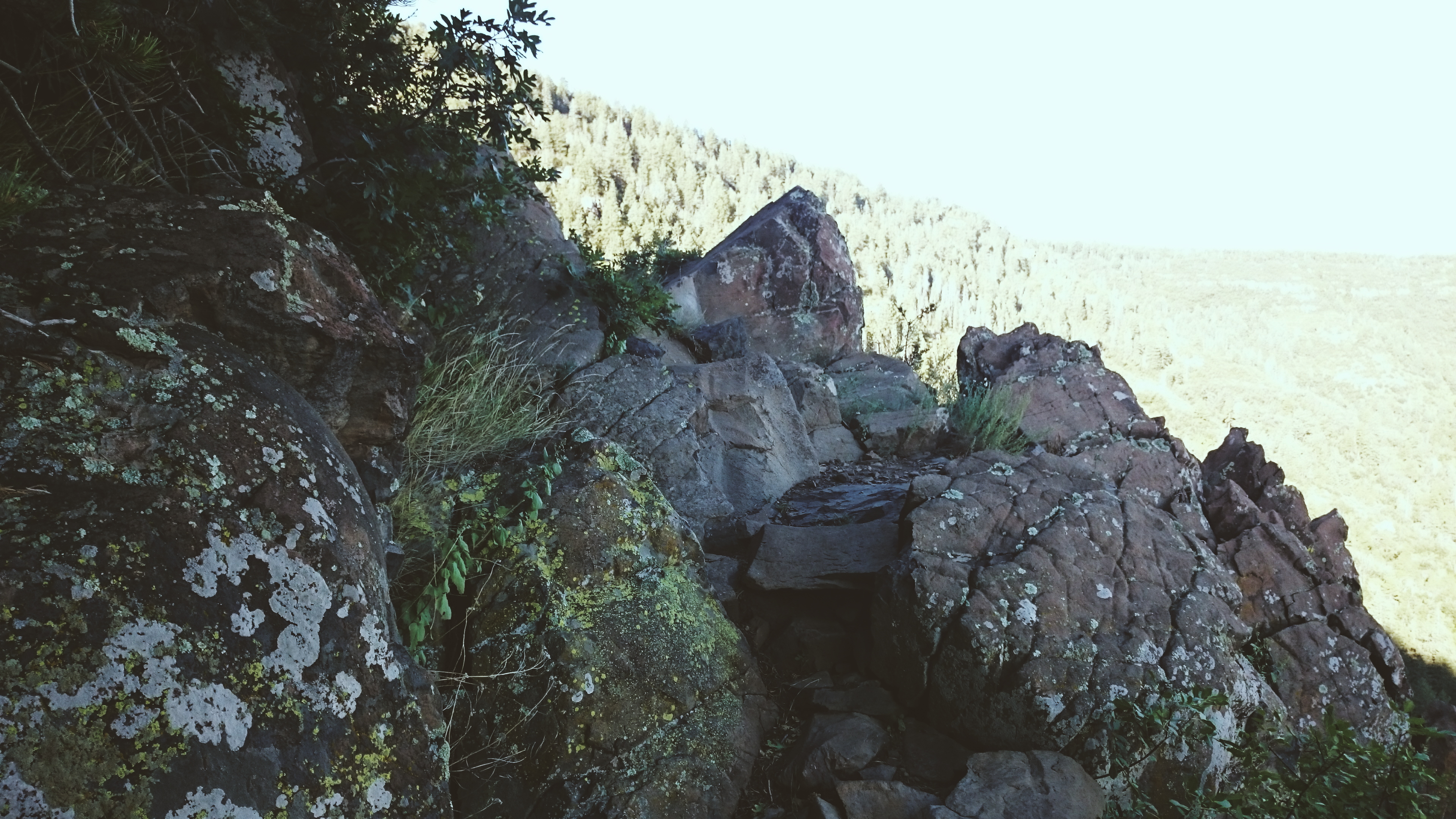
After a hearty meal, I rode up the rubble on FR413 and turned right on to trail 106 to begin the hike-a-bike section on one of the steepest trails over the mountain. I found a flat ledge where I could camp. In the night, I thought I could feel something around me tugging at the bivy. I kicked, it stopped, and I fell asleep. I thought it may have been the shrub next to me rubbing on my sleeping bag. I got to wake up to an amazing view of the foggy Verde Valley.
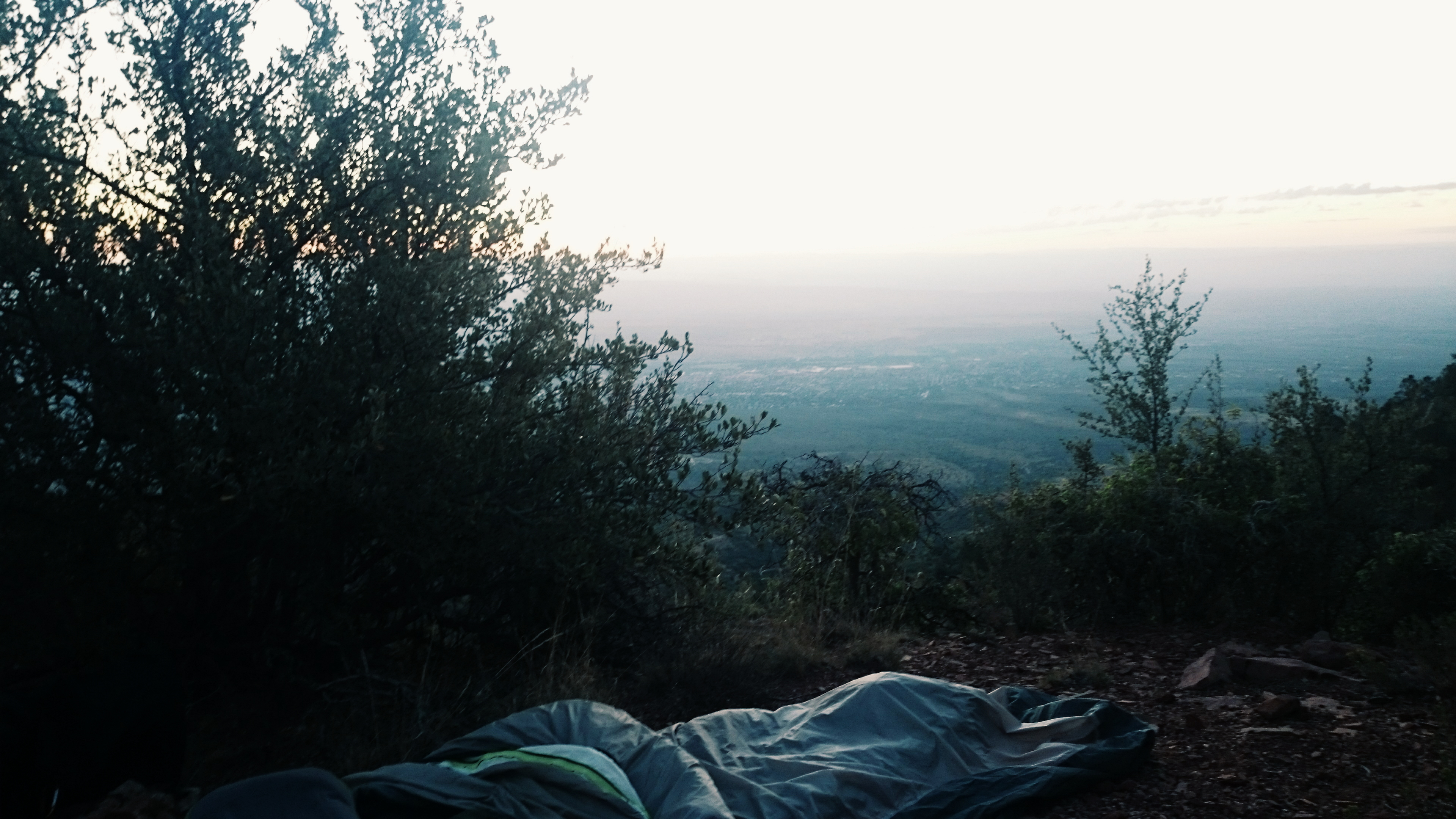
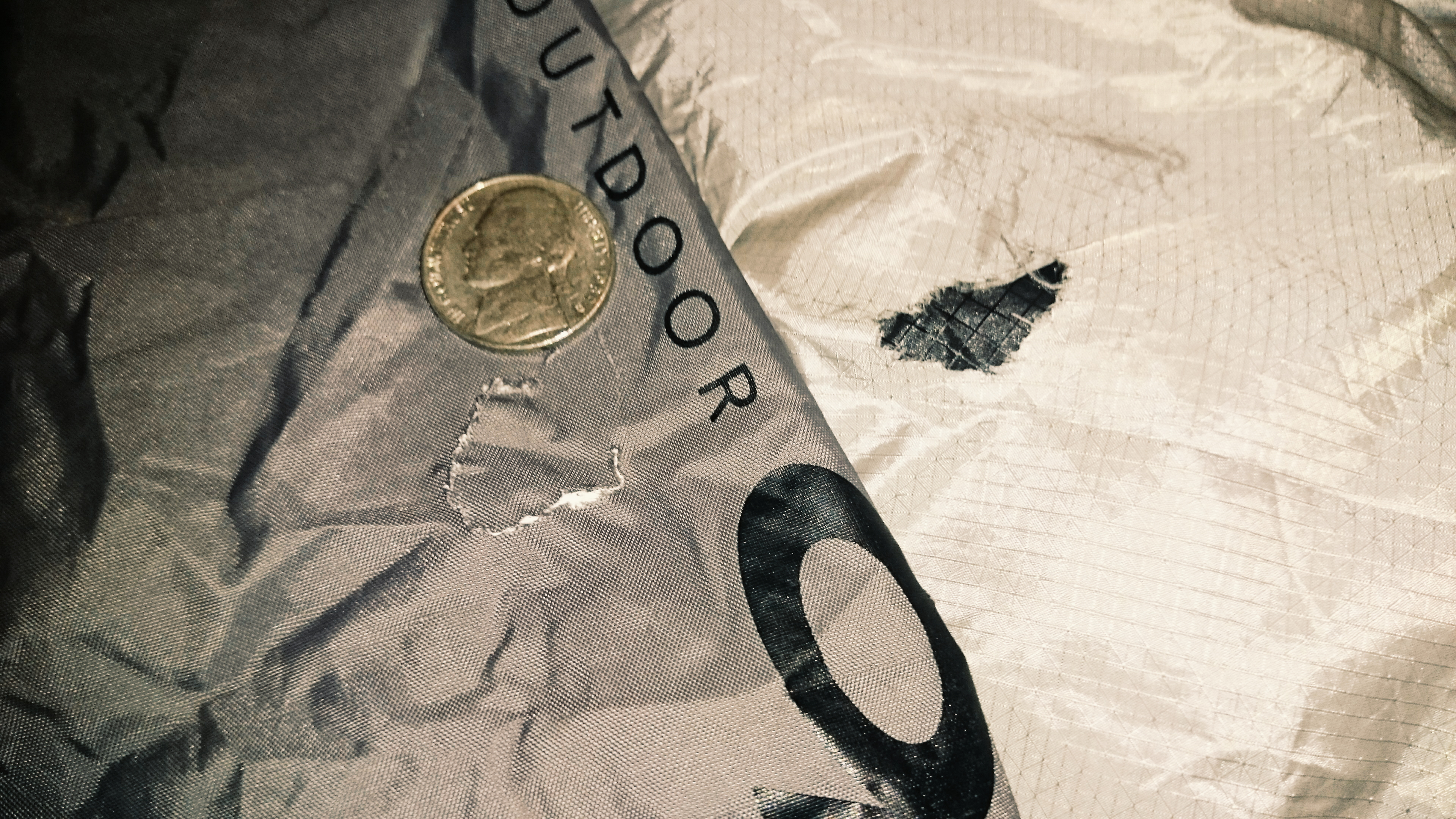
And this animal of sorts nibbled two holes in my bivy. Whatever this thing was, it also made off with one of my gloves.
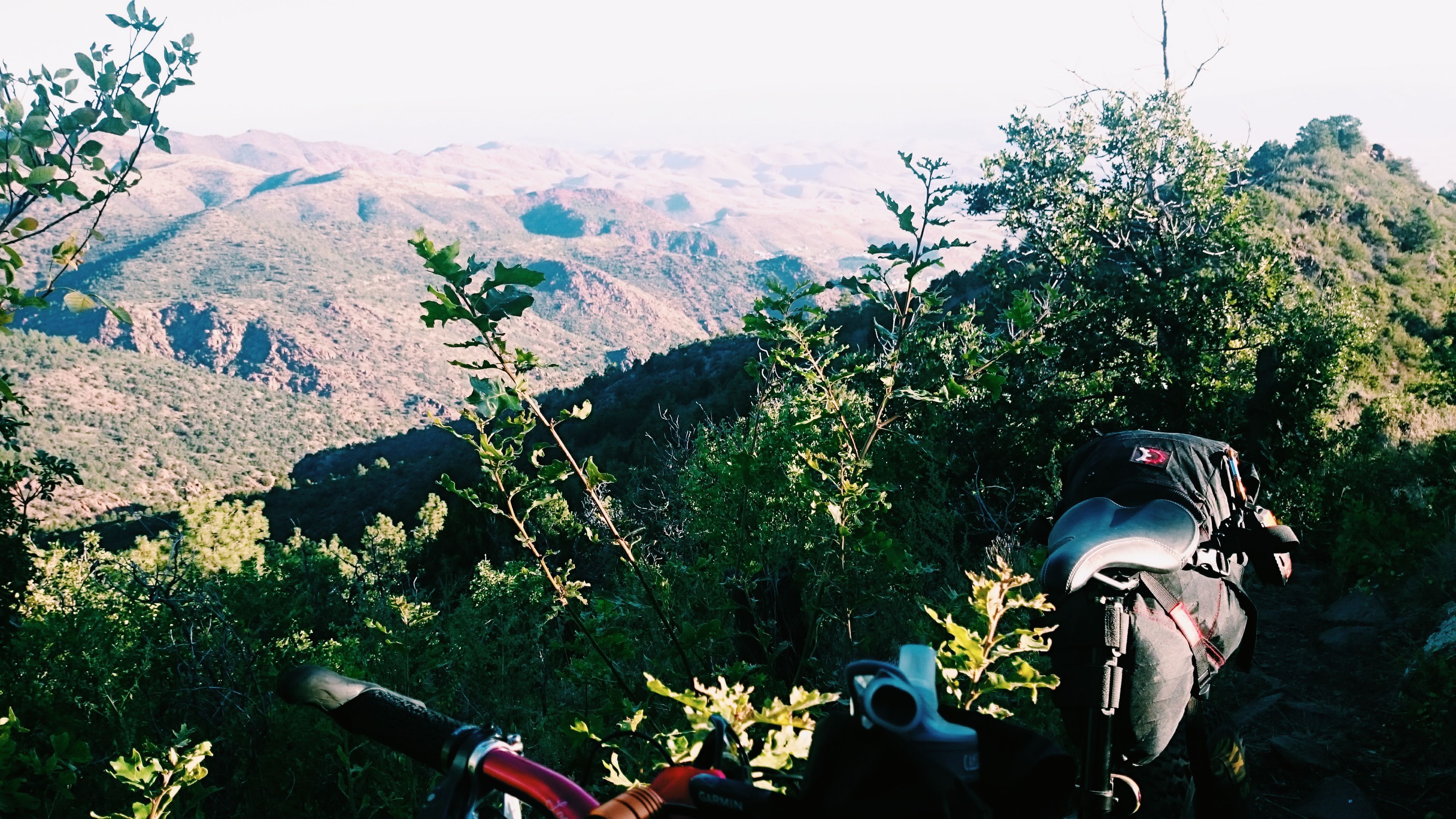
I was pushing the bike up the trail by 6:00 am. If you look really close, the white dots in the distance are Jerome.
Did I say hike-a-bike? I meant carry your bike.
I made a wrong turn and missed out on the hanglider launch, but I did get to eat an amazing 2nd breakfast with a view.
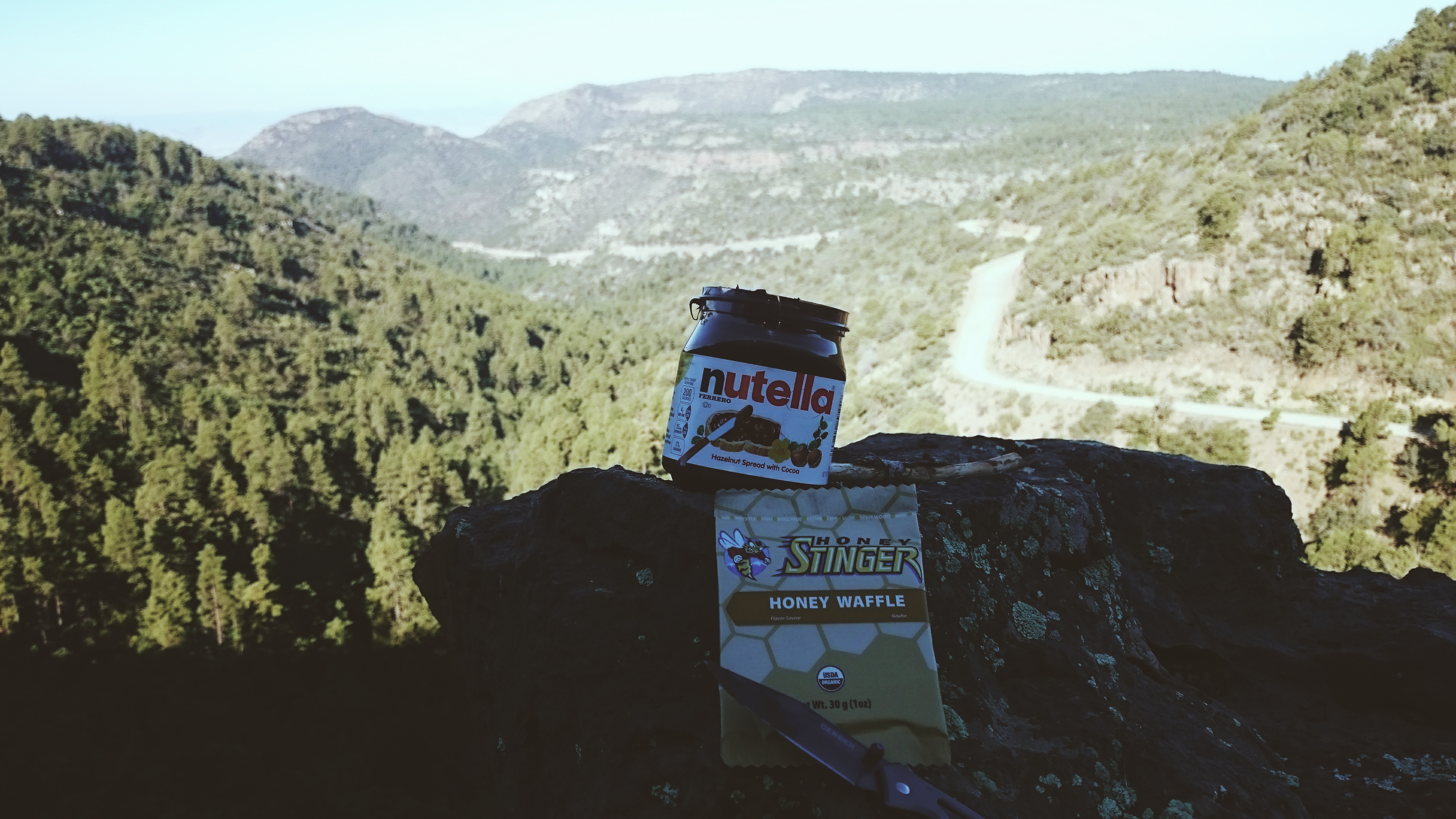
Breakfast of Champions!

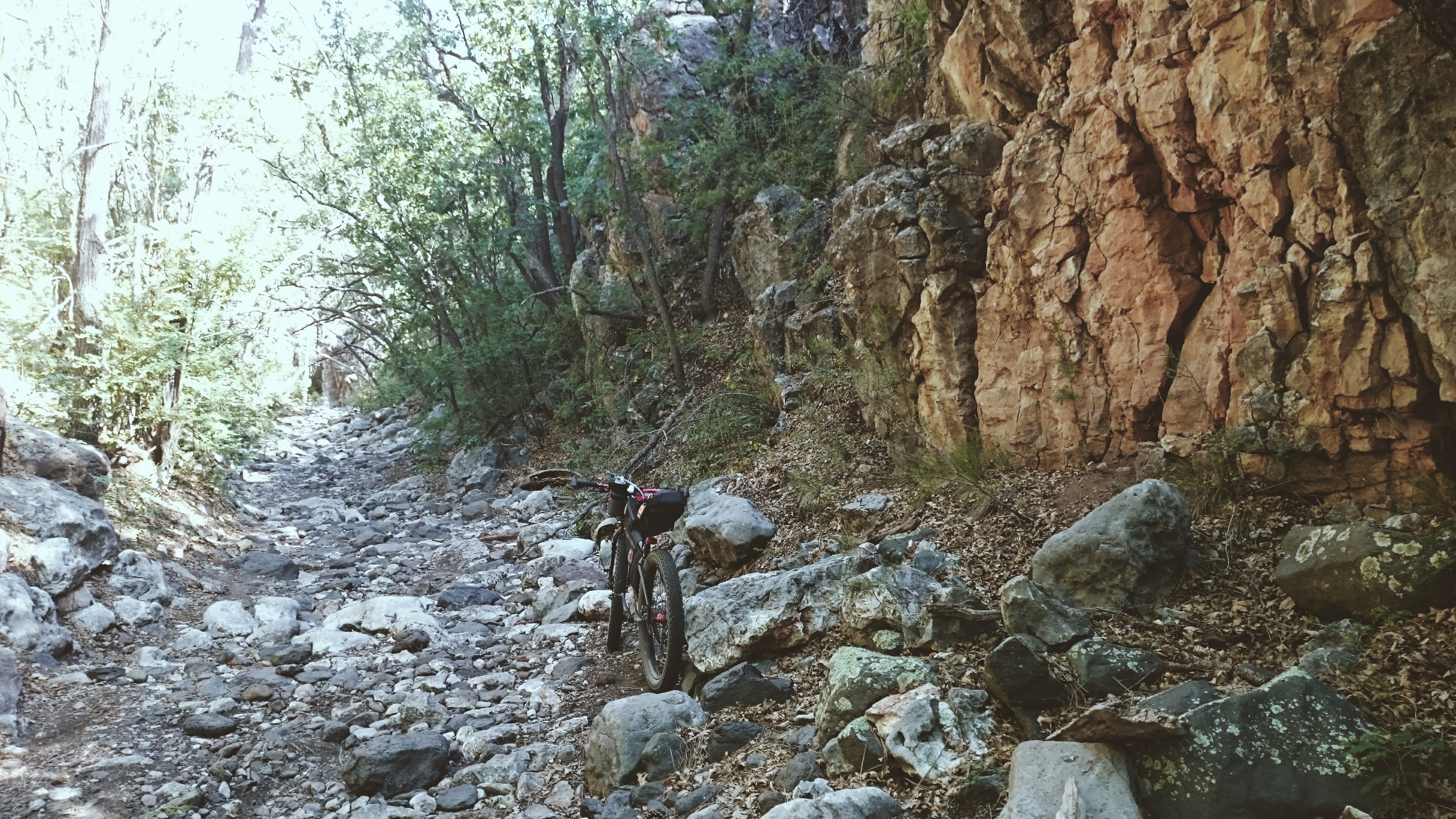
I crossed over 89a at more than 7000′ and found my way to Martin Canyon.
I made another wrong turn and ended up finding another back road route home. I made it back to 89a, and finally found my way to the Iron King Trail. I was almost home.
Ride Details
Max elevation: 7316 ft
Min elevation: 4567 ft
Total climbing: 7979 ft
Total descent: -8012 ft
Total time: 22:22:20
Have some questions or comments? Feel free to leave some.